Whiteface Storm Ski

Last week I was going through my weather routine, studying the medium-term forecast, looking for answers to the same four questions. Is it going to snow? What is the best day to ski? Can I get the day off? And finally… where should I ski?

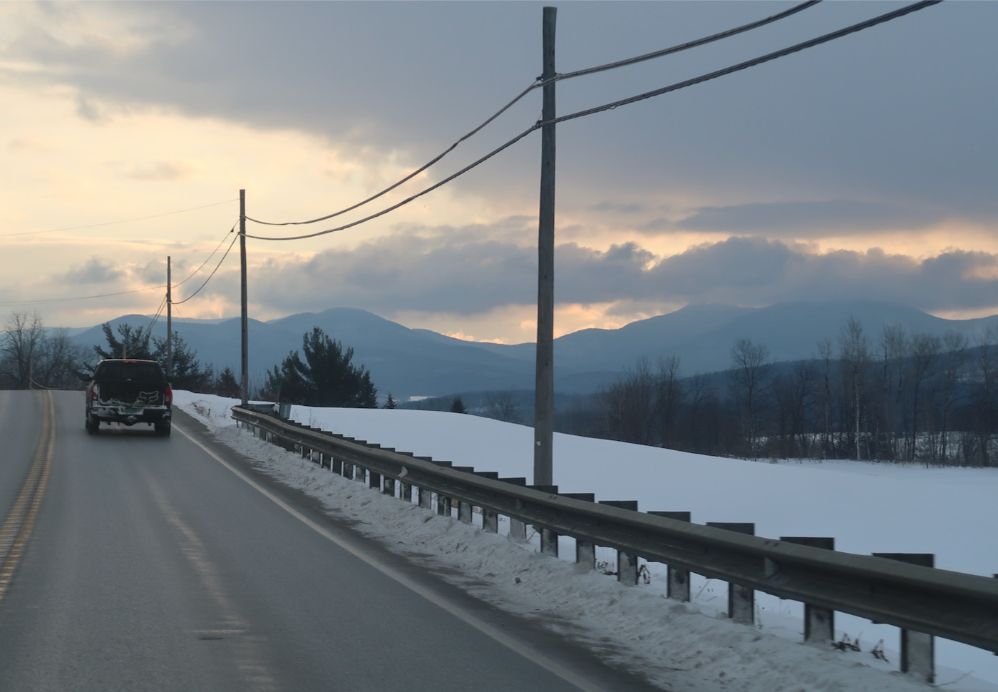
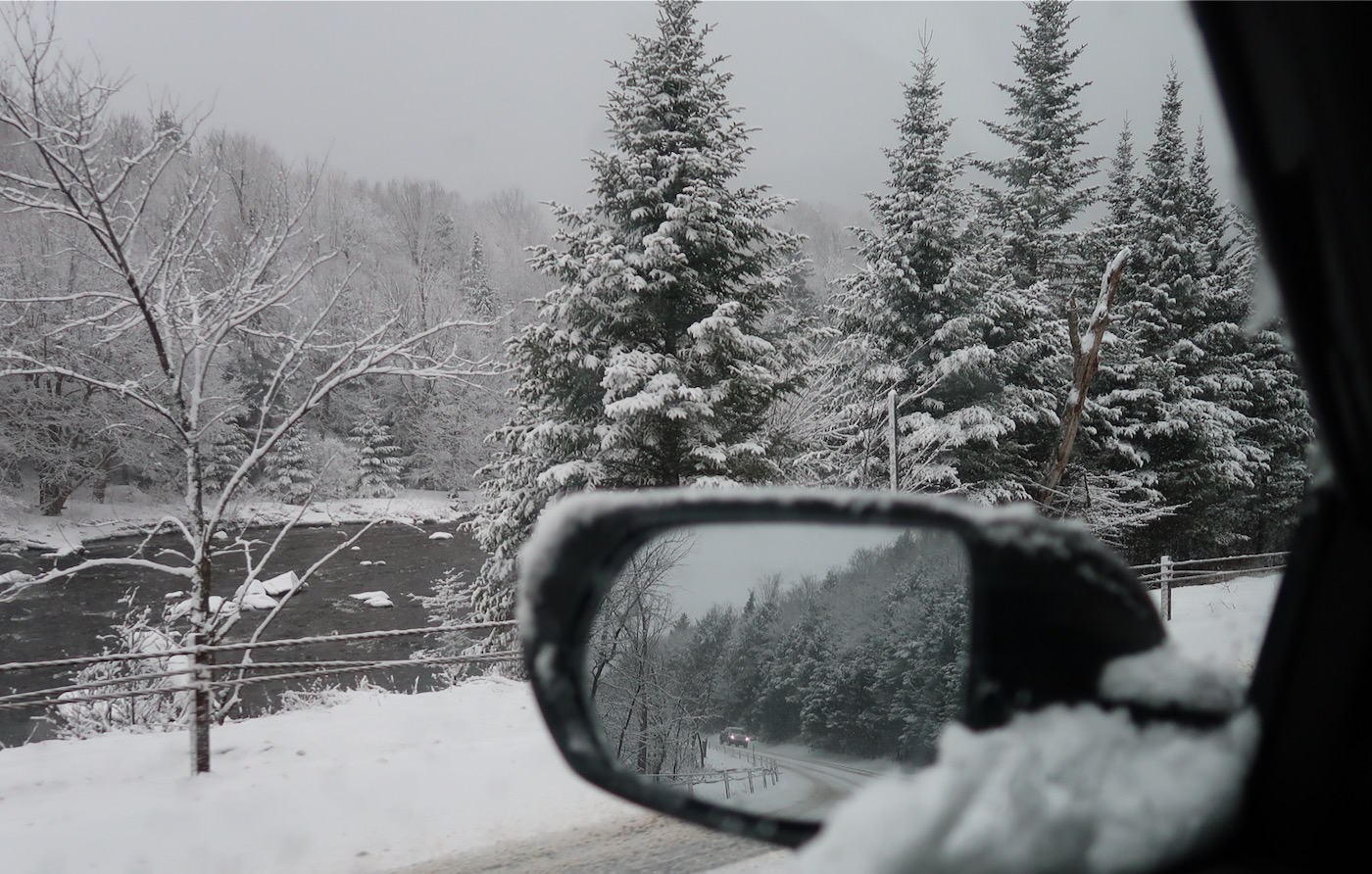
driving to Lake Placid

For several days, the GFS was highlighting a storm that would slide across New York on Saturday. The timing and intensity of the snowfall favored a Friday evening overnight stay near the mountains. So yea, where to ski?

The forecast had Plattekill close to the boundary with warm air, with the greatest potential for snow, and some chance of rain. Both Gore and Whiteface, farther to the north, were safer from the rain, with less potential for snow.

Continue reading

Snow Ridge: Afternoon Deep

While visiting my parents in the Finger Lakes over the weekend I watched the weather reports. I was surprised to see a late season surge, a large amount of snow headed towards Tug Hill. Farah and I headed to Snow Ridge Sunday afternoon.

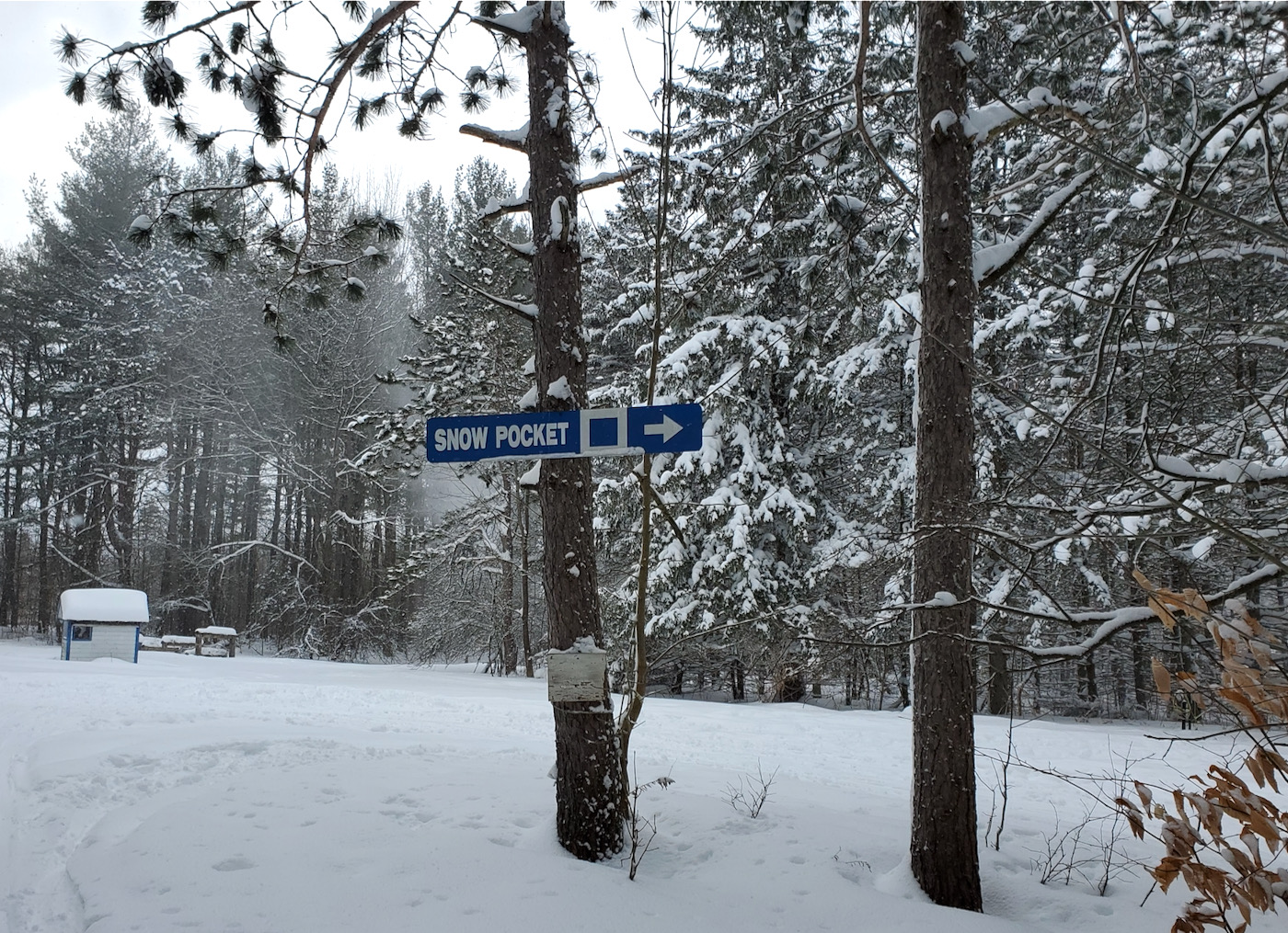
Snow Pocket

It was one of my deepest days, and possibly the best three hours of skiing I’ve ever had. I’m sure the following words or pictures won’t really do it justice.

Driving the Thruway it was clear skies and dry roads, but after getting off the interstate and driving north of Rome, conditions changed drastically. Deteriorated or improved, depending on your point of view.

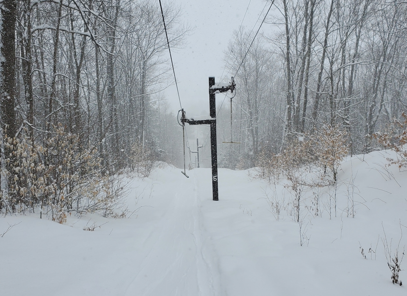
Tbar
Snow Pocket Tbar

Continue reading

Jay Peak: Playing the Long Game

Three weeks ago Doug Fish of Indy Pass sent me an email. “I’m coming East, here’s my schedule. When are we skiing together?” I looked at his itinerary and started to weigh my options. I needed some time.

Jay Peak

When it comes to weather, the farthest out I look is 240 hours. Each day, I do one simple thing; I check the GFS 240 hour snowfall map for the CONUS (aka Continental US). By noting the difference in the map vs the previous day, I can see if the GFS is seeing snow on that 10th day. Sometimes I leave a browser tab open and refresh it each morning, to more easily see the change in the modeled storm overnight. It’s a bit of a game as storm tracks flip back and forth each day.

Continue reading