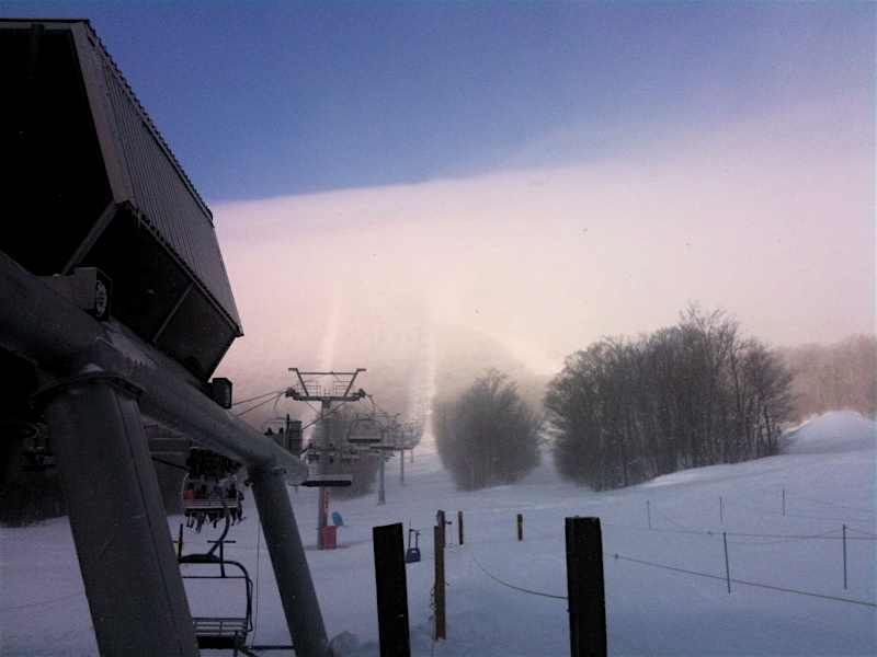
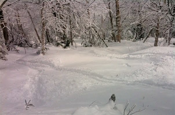
Another day of great skiing, fresh snow and good friends at Jay Peak. Yesterday’s ice fog laid down a crust to the base, but 4-6″ of snow fell overnight. The new snow turned what would been marginal conditions, into a very nice surface, with fresh powder all over the mountain.
Jay Peak, VT: 2/20/10
EDeO, Chuck, Amy, Kelly and I set out this morning to pillage the glades of Jay Peak. It was windy, so the Tram and the Green Mtn Freezer were on hold in the morning. We took the Metro over to the Bonnie and started our skiing from Stateside where the sun broke through the clouds while it continued to snow.
The Dip had the best snow and the most untracked lines of the morning. We dipped out of bounds and skied back in for divine turns. We lost EDeO and Chuck on our third lap, because they went just a bit too far out and had a longer trek back. The rest of us got in a nice long run down Everglade from the top before lunch. It was pretty sweet in there.
Mega-Storm Potential
Next week’s system will be complicated. 2 lows, with a lot of reforming. A 500mb low. Very difficult to forecast. Right now ALL the models cut-off the low in New England. This could be a long duration event.
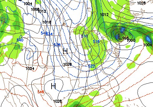
Jason’s a real weatherguy. He’s got to go by the rules. Multiple model runs, different models, credibility. Blah, blah, blah. I’m just a stokemeister. I poked my way into the GFS. If you follow it out, the model shows multiple events on the horizon. The image above depicts a mega storm late next week. BRING IT.
Jason will be out with some legitimate weather analysis Sunday evening.

-
In The Forums -
Magazine: Featured Articles
-
The Directory