
Mega-Storm Potential

Next week’s system will be complicated. 2 lows, with a lot of reforming. A 500mb low. Very difficult to forecast. Right now ALL the models cut-off the low in New England. This could be a long duration event.
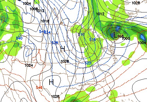
Jason’s a real weatherguy. He’s got to go by the rules. Multiple model runs, different models, credibility. Blah, blah, blah. I’m just a stokemeister. I poked my way into the GFS. If you follow it out, the model shows multiple events on the horizon. The image above depicts a mega storm late next week. BRING IT.

Jason will be out with some legitimate weather analysis Sunday evening.
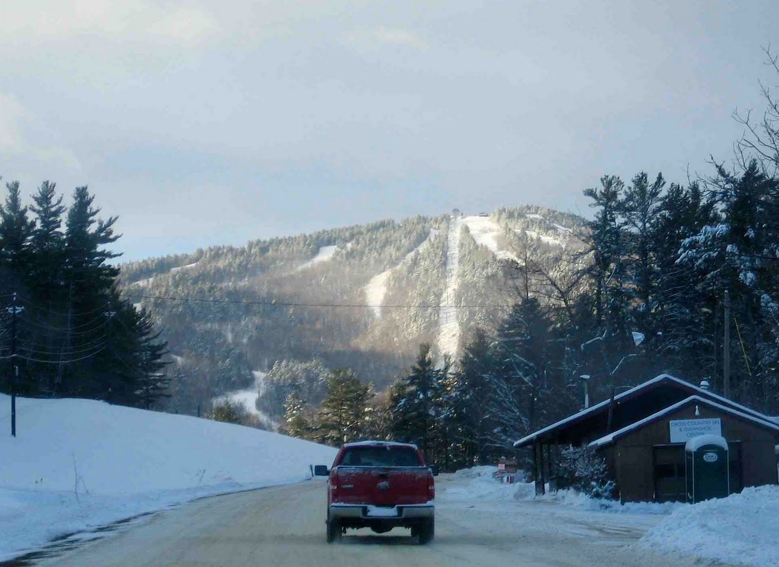
Gunstock Mountain, NH: 2/17/10

Between my real job and being chained to the NY Ski Blog Weatherdesk, I haven’t had much flexibility this year. I’ve had weekends with my girls in the Catskills, but haven’t really scored any powder yet this season. That was about to change.

Gunstock Mountain Road.

I’d been watching yesterday’s storm since the end of last week, and at first, it looked like the brunt of it would hit Vermont. Yesterday, it shifted east and put northern New Hampshire in the bullseye. Last night, after 7 hours of white-knuckle driving through the storm, I pulled over for the night in Concord, NH.

Continue reading →

The Hudson Trail (Circa 1952)

The Hudson Trail

“The photo of the Hudson trail above was taken in the early 50s by my father LeRoy Bishop. He was the photographer of the family. Skier in the photo was his brother, my uncle Roderick Bishop. Rod was the younger and the better skier.

I always liked that top section of the Hudson trail.

I started skiing on the rope tows at the bottom of Old Gore when I was 8 years old, in 1956. Our family went skiing every Sunday all winter in fair or foul weather. We had a whole group of families from Glens Falls that skied there all the time.”


Photo and text courtesy Peter Bishop