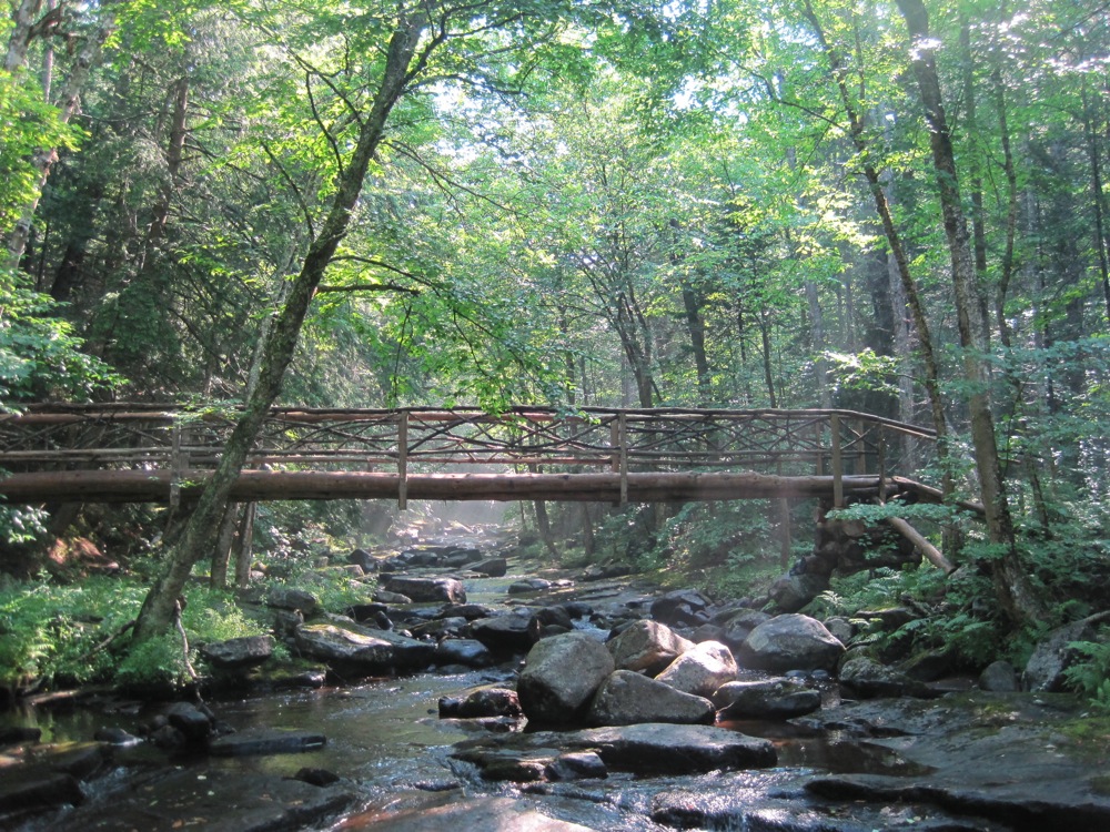
The Halfway Brook Trail

The Halfway Brook Trail was another traditional path through the Garnet Hills, in the Southern Adirondacks. It was used by locals for decades prior to the land’s inclusion into the Forest Preserve. In the 1930s, it was traveled by mine workers moving from their North River living quarters to the mine each day. In the last 50 years, the trail has been used mostly during the winter by backcountry skiers.
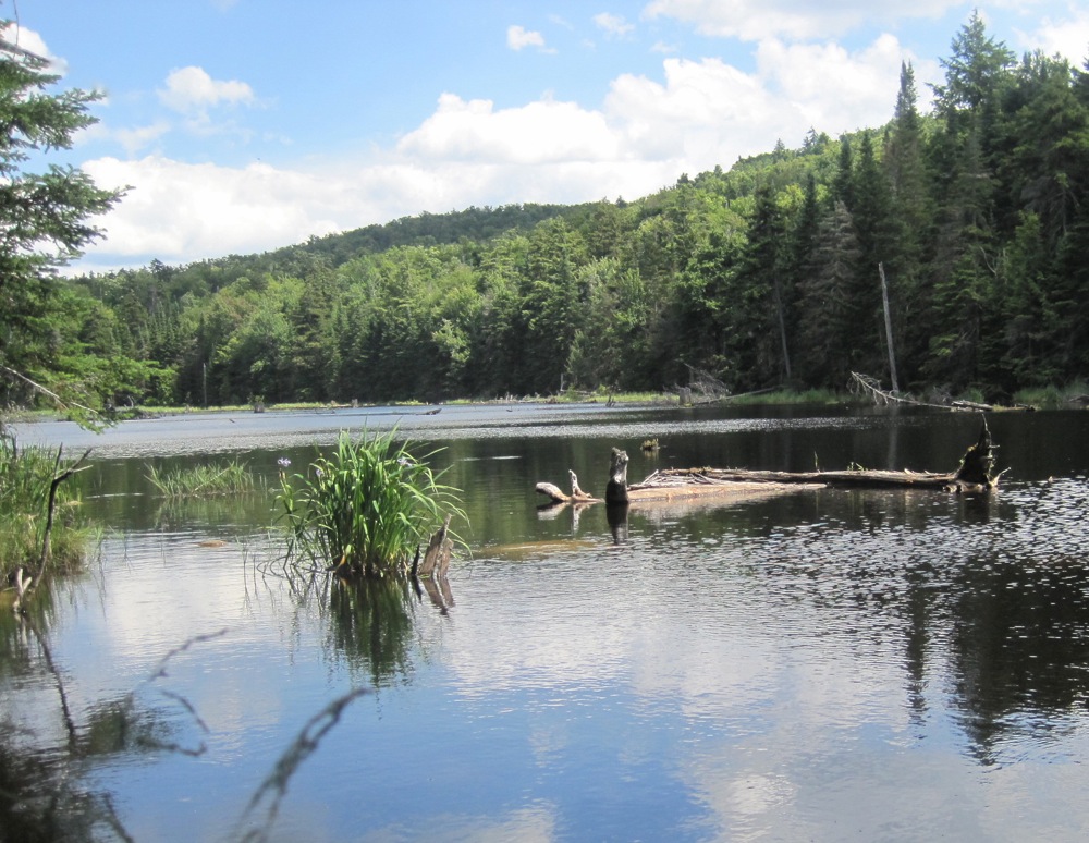
William Blake Pond.
William Blake Pond

Halfway Brook Trail now officially extends all the way to the old farm road, absorbing (and shortening) a trail that had been called “Overlook” on the Garnet Hill trail map for years. I was never sure if Overlook was actually a new name for part of the Halfway Brook Trail, or something truly distinct.  To further complicate things, the first section of the trail, became known as the William Blake Pond Trail — another result of the way lodge guests used the route.

Continue reading

The Raymond Brook Ski Trail

The Raymond Brook Ski Trail is one of the oldest ski trails at Gore Mountain. Today it’s on state land, but it is still important part of the trail network around North Creek, NY.

Raymond Brook Ski Trail

The Raymond Brook Trail has been through several phases of use. In the “ride and slide” days, it was a major route. The ski from the top of Gore down to the river was long. The need to “sweep” Raymond Brook was one factor behind the creation of New York’s First Ski Patrol at Gore.

At some point in time the Raymond Brook Trail went unmaintained and it stayed that way for many years. When I first learned of the route, I didn’t know it by name.

Continue reading

The Botheration Pond Trail

Since I first started skiing at Garnet Hill in the 1980s, Botheration Pond has captivated my imagination. I’d see it on the map, so close, yet tucked away. It symbolized all the remote spots in the Siamese Ponds Wilderness that were out of my reach.

bridge over the East Branch of the Sacandaga

Together The Vly and Botheration Pond form the headwaters of the East Branch of the Sacandaga. When I studied the map, it seemed that the waterway would offer a long stretch of easy, beautiful and remote marsh skiing. With an intriguing name and no trail accessing it from state land, I was very curious about that pond.

Continue reading