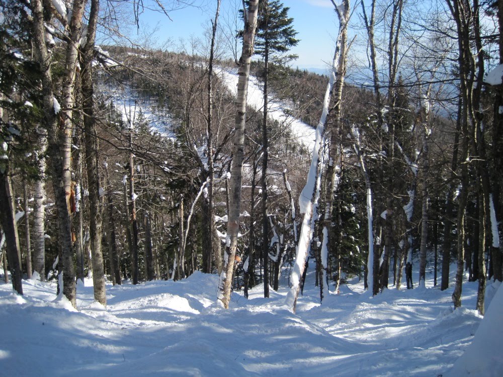
How do you find fresh powder in the Southern Adirondacks, on a Saturday, four days after a storm? Read the trip report to find out.

How do you find fresh powder in the Southern Adirondacks, on a Saturday, four days after a storm? Read the trip report to find out.
The latest GFS 0z and 6z are pointing towards a major snow event for the Catskills, Adirondacks and all of ski country. Both runs are a little weaker and further south than previous runs with the 500mb closed low.
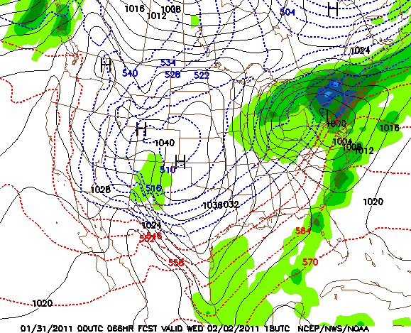
This is a good thing because this storm track should shut off warming aloft. Normally a storm track like this one could deliver a mixed bag of precipitation types for New York and the Northeast. In this case, the position of the High in eastern Canada is crucial in the set up — it will hold all that cold air in place. Bottom line: as of 7:30 a.m. Monday, we’re calling for 12-24 for all of the major ski areas.



 In The Forums