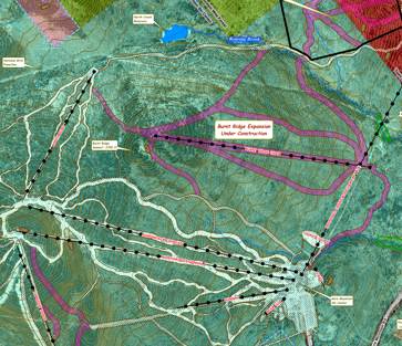
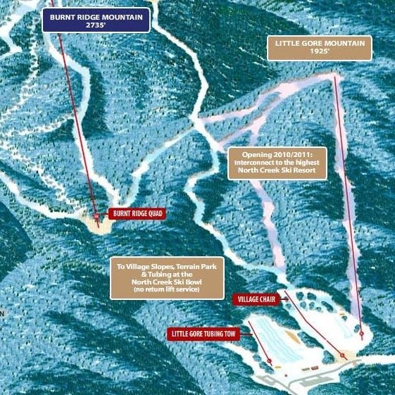
 I love this image the mountain is using to promote the interconnect. But … the bottom of the trail system will not actually connect to the village. It is MUCH closer, but you can’t actually see town from the bottom of the lift. It’s probably too far to walk to Main Street.
I’d love to know about the ZONING of the land right around the bowl. Will town expand to connect to the Ski Bowl? Will there be restaurants and business close enough for alpine booted folk to spend the cash “off mountain?” I realize none of this has mattered at Whiteface. The mountain is miles from town, and LP thrives.

