Jason’s Weather: Week of March 8 2010


Warning: Undefined array key 0 in /home3/nyskiblo/public_html/wp-content/themes/nyskiblog2016/functions.php on line 328

Forecast Update March 12:

With a cut off low meandering around the Mid-atlantic and no cold air to the north… r**n should advance to the Canadian border. That said, the heaviest NCP will remain south of Albany. Sleet is a possibility in the mountains.

Now too much anticipated long range. It appears that for the next 10 days or so the storm track will be across Canada. This will result in a series of cold front passages. Which means a brief warm up followed by cooler air and a chance of snow showers.

The bottom line is, this pattern is not favorable for any meaningful snow. As we all know, we are getting closer to April and the end of, what I think, was a pretty decent season …

Continue reading

The Big One: Snowmageddon 2010

2/25 Update: Looking at yesterday’s post, I was inclined to let it stand. But I all I have to do is look into my inbox to see how hungry eastern skiers are for information — so here’s the update.

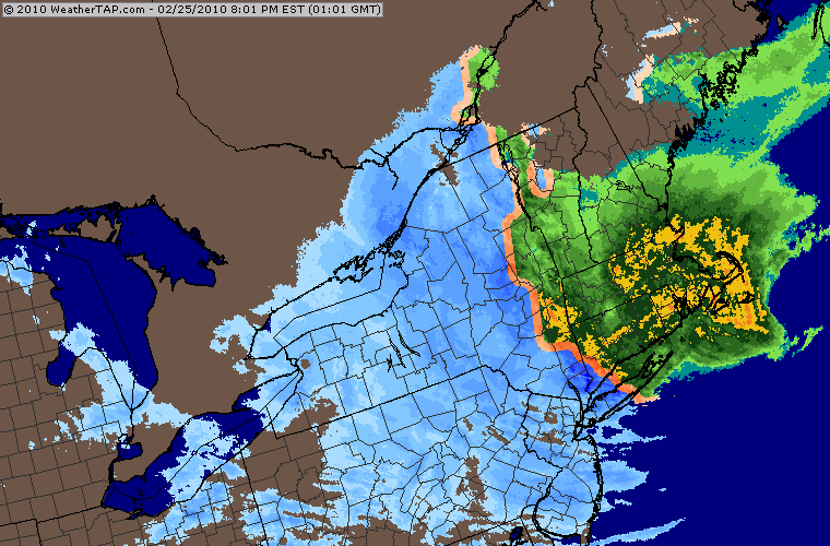
Snowmageddon 2010 radar

The current storm is currently behaving as predicted … The rain/snow line has set up north/south just west of the NY/MA/VT border. Areas to the west of the Hudson Valley should receive mostly snow.

This is good news for the Adk’s and especially the Catskills. There have been reports from the various mountains about multiple switch backs between frozen and mixed precip. Interesting to note that the Igerna HermitCam and the Whiteface Cam are showing snow as of this posting (2pm).

All regions will go back to snow late tonight. This storm will stick around into Saturday. Final changeover times will have big impact on totals. Here’s our call for additional snow through Friday:

  • Catskills: 18 – 24 inches
  • Adirondacks: 12 – 18 inches
  • Greens: 6 – 10 inches

I don’t think I need to point out that this is a very wet snow… certainly not Utah blower. Continue reading

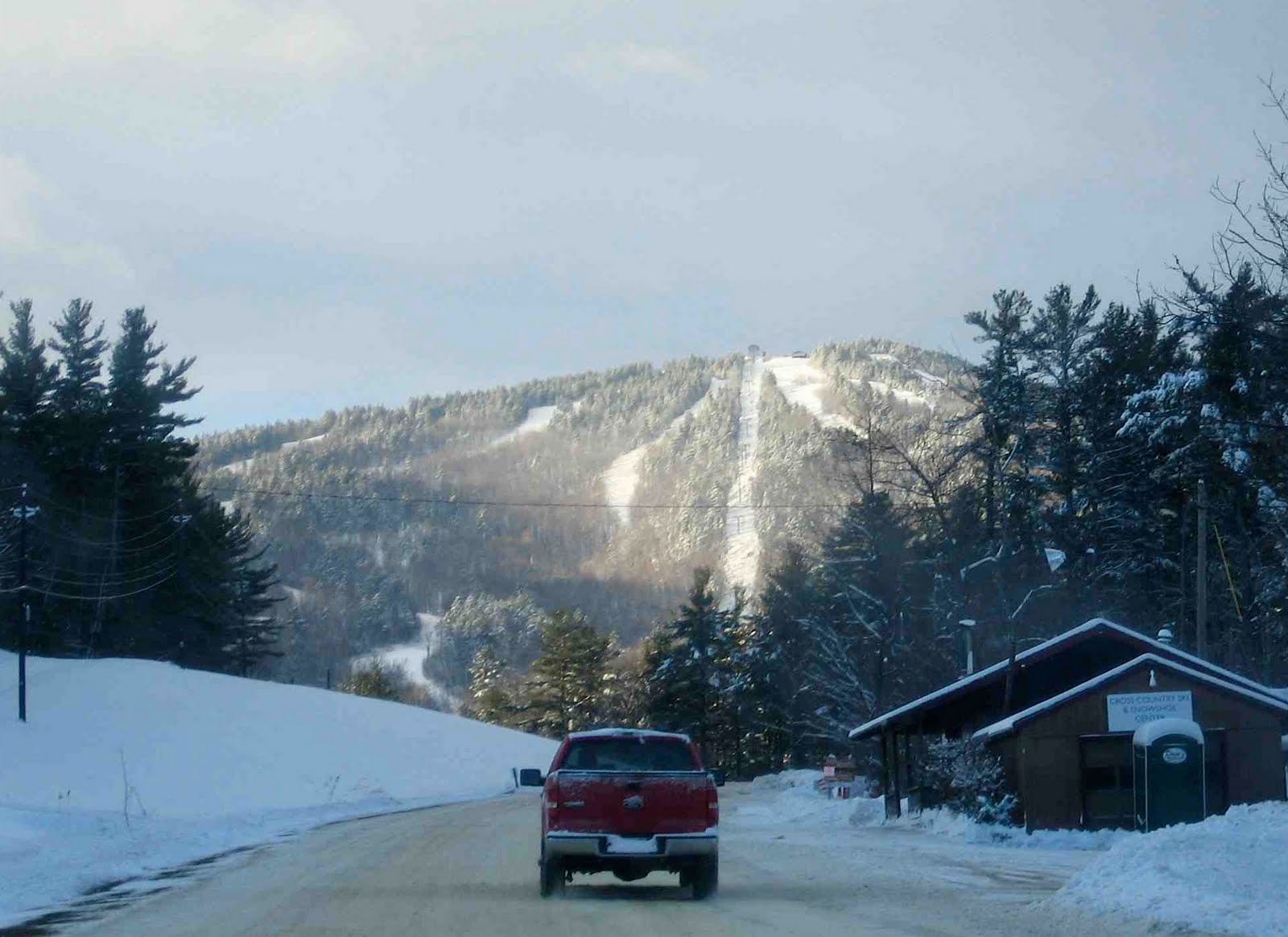
Gunstock Mountain, NH: 2/17/10

Between my real job and being chained to the NY Ski Blog Weatherdesk, I haven’t had much flexibility this year. I’ve had weekends with my girls in the Catskills, but haven’t really scored any powder yet this season. That was about to change.

Gunstock Mountain Road.

I’d been watching yesterday’s storm since the end of last week, and at first, it looked like the brunt of it would hit Vermont. Yesterday, it shifted east and put northern New Hampshire in the bullseye. Last night, after 7 hours of white-knuckle driving through the storm, I pulled over for the night in Concord, NH.

Continue reading