Jason’s Weather: Storm Call 2/24/12

This week’s storm presents a rare case: a disturbance tracking to our west is going to produce a measurable snow storm. This is due in part to some redevelopment off the coast, but the primary driver of this event is a vigorous upper-level low.

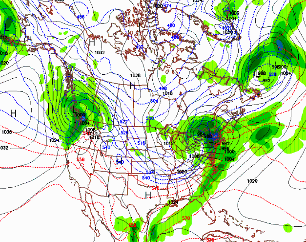
upper level low

The map above is the surface forecast for 10pm tonight. Note the tightly wrapped low over Lake Ontario. As far as accumulations, the last model run has backed off the qpf and I’m calling for 2-4 inches of snow in the Catskills, 4-10 in the Adirondacks, and 6-12 along the top half of the Green Mountain spine in VT. Models are showing from .5-1 inches of liquid equivalent.

Continue reading

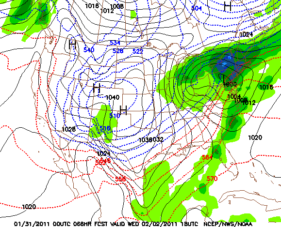
Jason’s Weather: 1/31/11

The latest GFS 0z and 6z are pointing towards a major snow event for the Catskills, Adirondacks and all of ski country. Both runs are a little weaker and further south than previous runs with the 500mb closed low.

This is a good thing because this storm track should shut off warming aloft. Normally a storm track like this one could deliver a mixed bag of precipitation types for New York and the Northeast. In this case, the position of the High in eastern Canada is crucial in the set up — it will hold all that cold air in place. Bottom line: as of 7:30 a.m. Monday, we’re calling for 12-24 for all of the major ski areas.

Jason’s Weather: 1/11/11

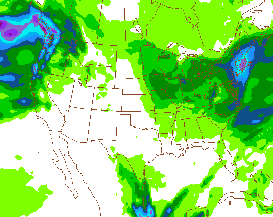
As mentioned in the forum, there are two possible scenarios with this storm, depending on which model you believe. The NAM is the coast-hugger and the wettest of all the models. The GFS and the EURO have the low further off the coast. I think the reality lies somewhere between the NAM and the GFS.

NAM 18z QPF

At this moment, the Cats look like the NY winner with 5-9 inches. Totals should be light to moderate for the ADKs: around 2-4 inches. More snow will fall on the southern Greens and the favored upslope terrain.

It’s all about when and where the development takes place. We’ll have a much better idea about storm track tomorrow afternoon. Stay tuned.