Vintage ski trail maps give us a window into a simpler time. The advancements we take for granted now — including lifts — didn’t exist when skiing started to gain popularity early in the last century.
-
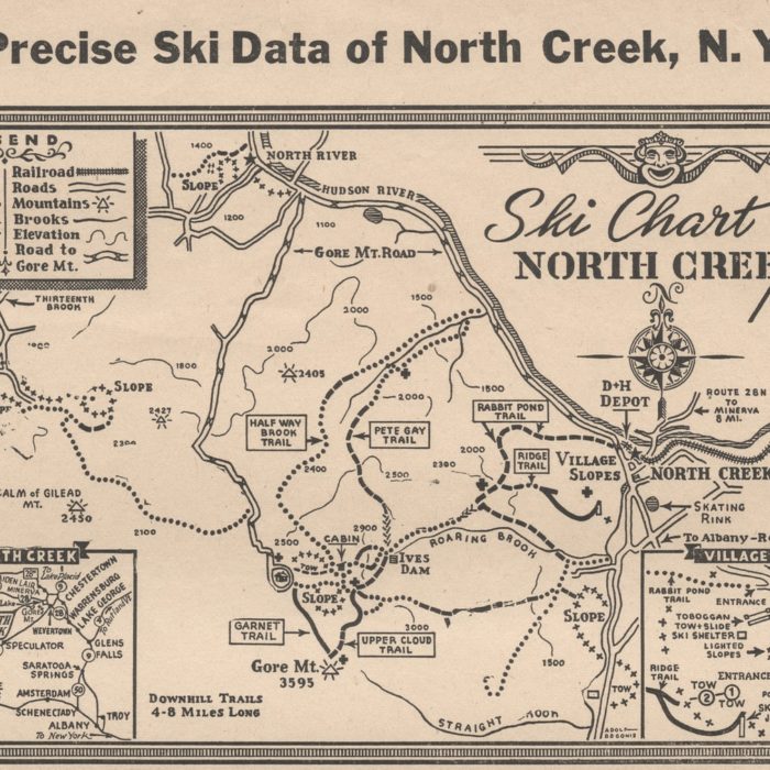 Precise Ski Data of North Creek NY
-
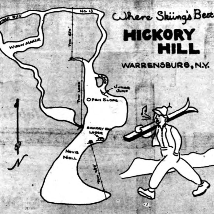 Hickory Hill Trail Map 1949
-
 Big Vanilla at Davos Trail Map
-
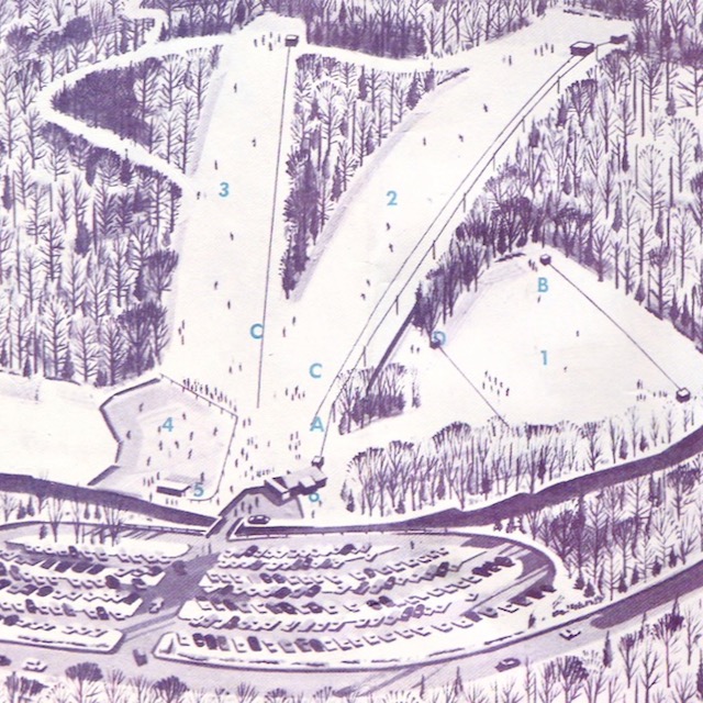 Silvermine Trail Map 1961
-
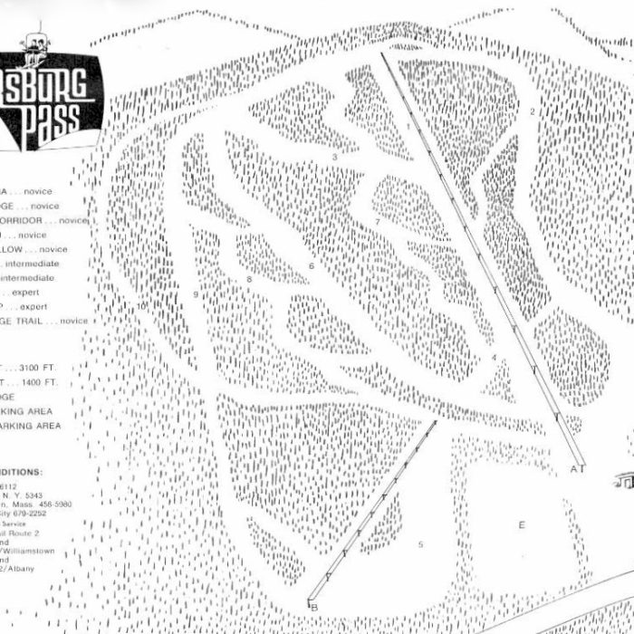 Petersburg Pass Trail Map
-
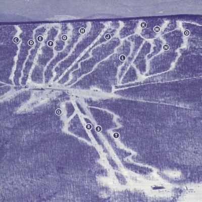 Belleayre Ski Center Map 1969
-
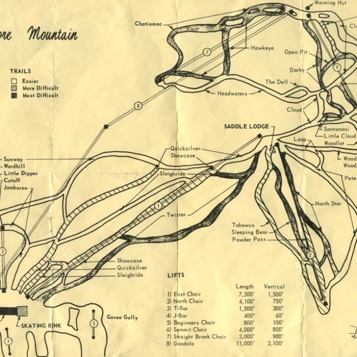 Gore Mountain Trail Map 1969
-
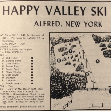 Happy Valley Ski Area Trail Map 1970
-
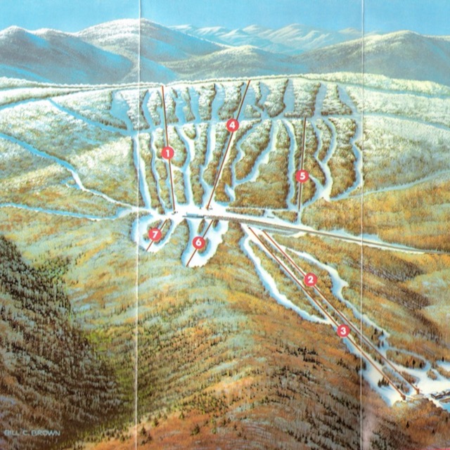 Belleayre Trail Map 1975
-
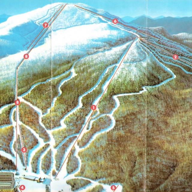 Gore Mountain Trail Map 1975
-
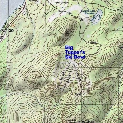 Big Tupper Topographic Map
-
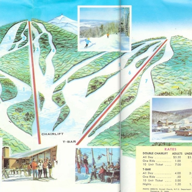 Big Tupper Trail Map 1977
-
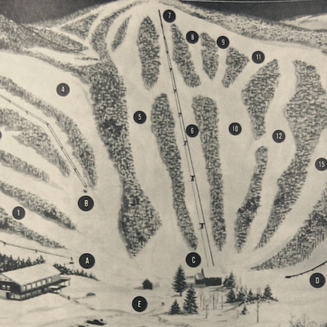 Ski Wing Trail Map 1978
-
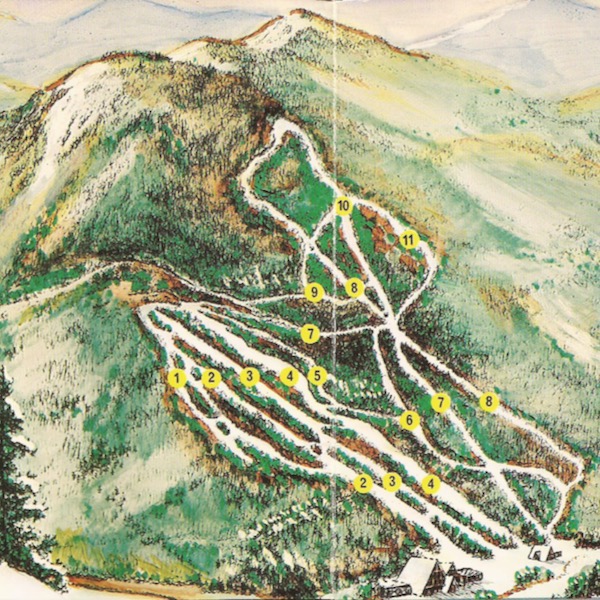 Paleface Ski Area Trail Map 1978
-
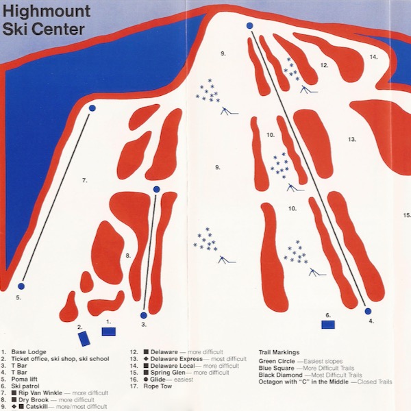 Highmount Trail Map 1978
-
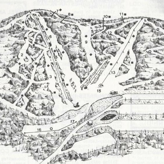 Plattekill Trail Map 1980
-
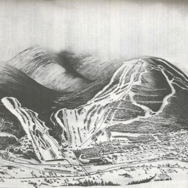 Hunter Mountain Trail Map 1980
-
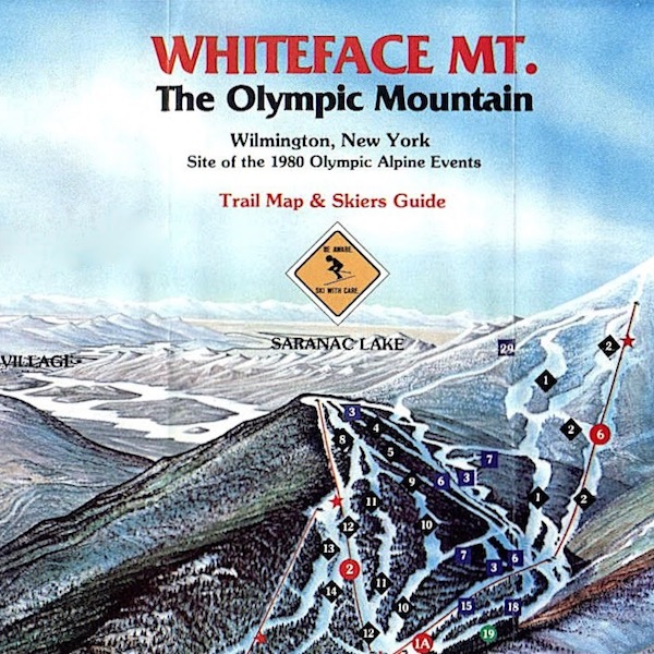 Whiteface Trail Map 1987
-
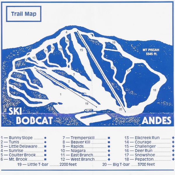 Bobcat Ski Center Trail Map 1989
-
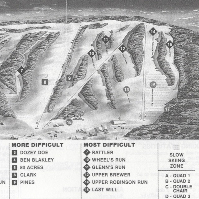 Swain Trail Map 1990
Old maps also help us see the things that have changed and things that haven’t changed. Among other things, it seems skiers have always valued vertical drop and snowfall.
Beyond that, ski trail maps have always had another function beyond navigating the mountain. Originally brought to prominence out of an urge to market the sport, they fulfilled needs beyond creating demand.
They’re a source of fantasy and a spur for the imagination; something to look at and dream about skiing, when you’re away from the sport. These maps can take us back, helping us to better understand the beginnings of the business of the sport in New York.
Today New York has the most ski areas of any state, and there are dozens, probably twice as many, that are gone. Our goal is to create a curated collection of vintage ski maps from the ski areas of New York. It is by no means intended to be complete. Browse through and if you can give any insight into any of our maps, please use the link below to let us know.
If you have NY vintage ski trail maps to share,
or any information on our existing collection,
please contact us.
