
On a summer day in 2010, I was in Mike Pratt’s office, learning about plans for Burnt Ridge. The Gore GM had a drawing of the area on his desk. It was a topo map, all in done in black, except for one trail, drawn in red pen. It was labeled Barkeater.
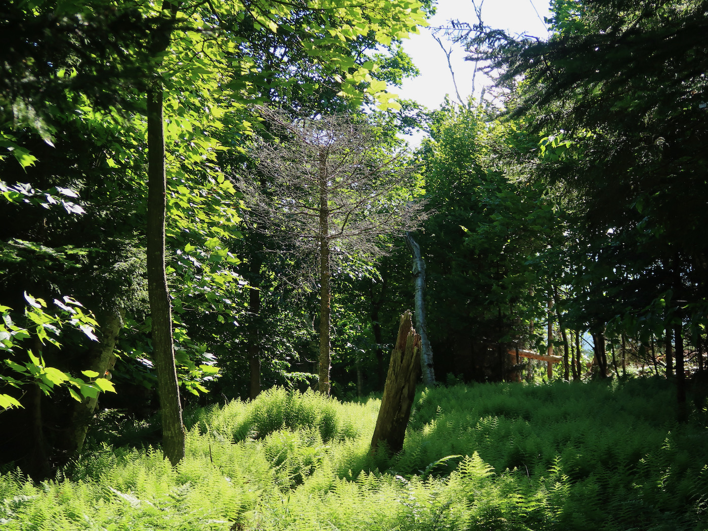
Mike told me that the trail wasn’t going to be cut right away, for the time being it was being cleared as a glade. Over the years Barkeater, and all the glades on Burnt Ridge, have become classic favorites among skiers who thrive in zen-long tree runs with moderate pitch. Some of us, likely a minority, loved Burnt Ridge the way it was: a bit inaccessible with a beautiful high speed lift and four mile-long glades.
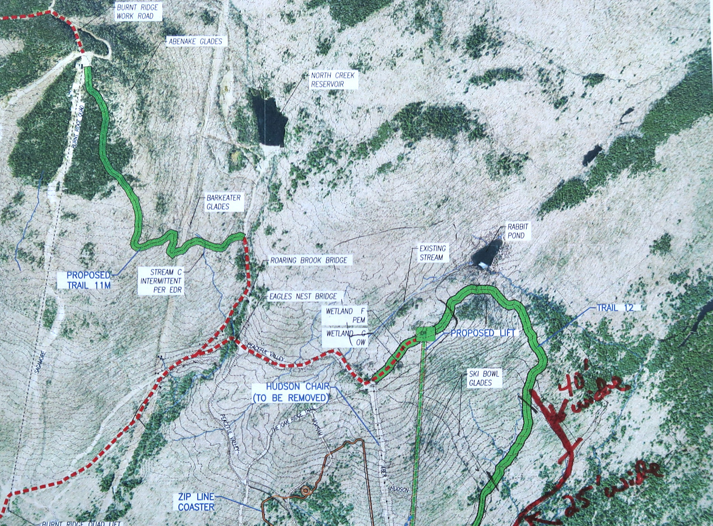
I think we knew that this unique pod couldn’t last, in that configuration, forever. Still it survived for 15 years in it’s original semi-developed state. Now, the announcement of the construction of a new lodge for the Ski Bowl, has pushed intermountain connectivity far up the priority list, and Proposed Trail 11M is finally being cut.
Generally ski mountains cater to families, and this is as it should be. Still, those of us who love the unique nature of Burnt Ridge have long hoped that the additional trail would leave the best tree skiing in place. When I learned about the construction of the new lodge during the season, I reached out to Bone Bayse, the GM at Gore. He’s another skier who loves the glades on Burnt Ridge. I wanted to see if he, and I, and the master plan were on the same page.
On a sunny Sunday, we met in front of the base lodge at 8am, to walk the new trail and check out the layout. I saw a lot to like.
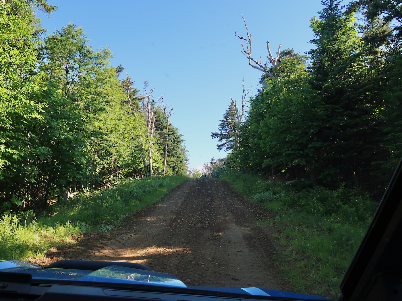
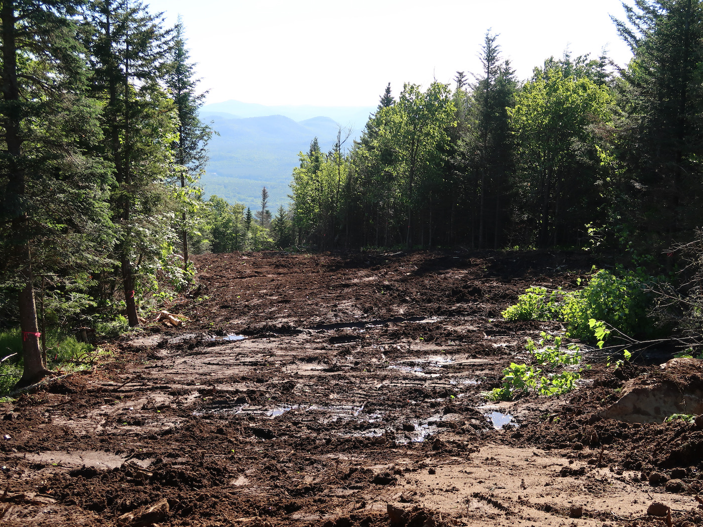
We took an UTV up the Sunway work road to the Saddle, then we headed down Twister, and up that work road, to the top of Burnt Ridge. We parked our vehicle near the NYSEF warming hut and walked across the flat area on top of the ridge. We could see two big excavators, dormant on a beautiful and sunny Father’s Day.
The start to the new trail is right where the entrance to the Barkeater Glade used to be. Gulp.
Bone pointed down the trail about 60 feet to a red flag attached to a tree on the skier’s left side of the trail. “That’s the new entrance to Barkeater.” I wondered if Bone was surprised that I was more interested in Barkeater than 11M itself.
I scrambled through the dirt down to the new glade entrance. It was just as I remember it, the only other time I walked this route in the summer. For the first 100 yards or so, the new trail was in sight of the glade, but then the two routes diverged, so I cut back through the woods to meet up with Bone back on the trail.
We headed down, following the contours of the new route, climbing over the slash in spots. The farther down we dropped, the more rugged and unfinished the trail became. At around 2600 feet, the clearing ended and we ducked into the woods to continue along the flagged route.
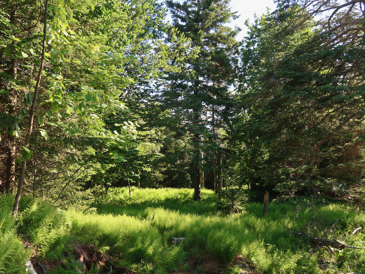
In some ways it was easier walking through the woods than on the trail. We dropped down further. Up until this point the terrain was relatively gentle.
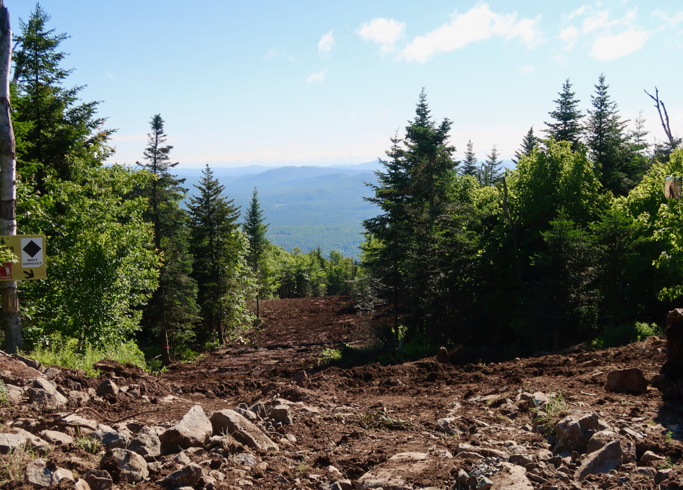
At 2400′ the trail moves close to the glade again, in an ideal spot. If you ski Barkeater, you know that it starts with a long gentle pitch that seems to go on for quite a while. Then, you come to a sharp left turn that leads to the steepest part of the run. It’s right at this point, that you’ll be able to bail back onto the trail.
This does two things. First, if cover is thin, you could enjoy the fattest part of the run and skip the sketch. The upper part of the glade could potentially be open more often. Second, it would make “Upper Barkeater” a great piece of learning terrain, for intermediate tree skiers.
At 2300 feet we came to two ledges that will require some blasting for the trail to maintain a blue rating. We circled skiers right around these ledges and then dropped down to the power lines, crossing just below the spot where you cross on skis via Barkeater. Past that point, we crossed Barkeater for the second time. That prime section of the glade — from the entrance to this spot — covers more than 4300 feet and 620 feet of vertical.
The bottom line: unless something changes dramatically on the flagged route, 95% of the best part of Barkeater will survive.
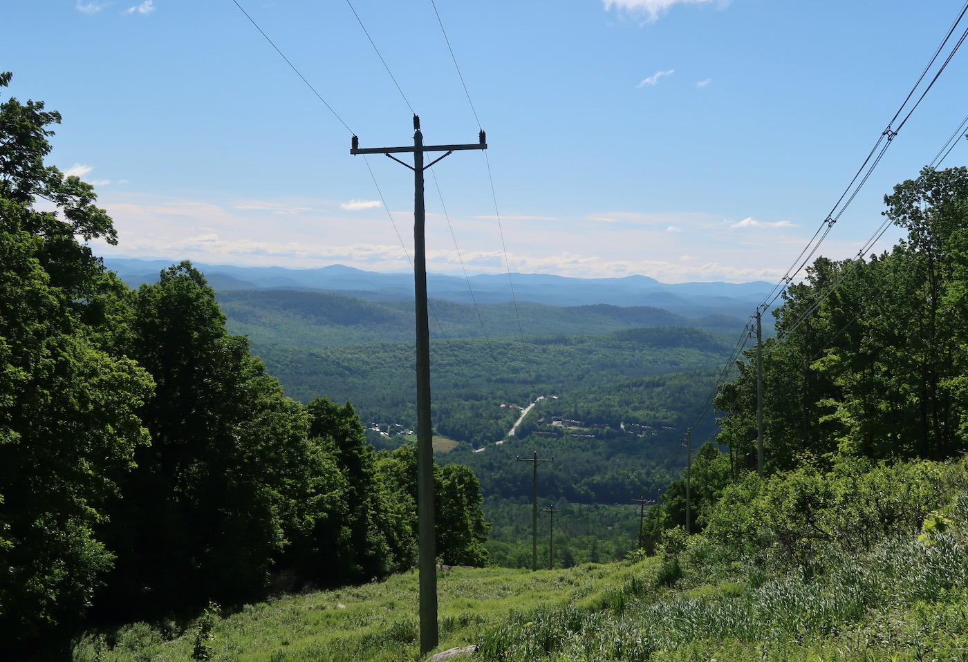
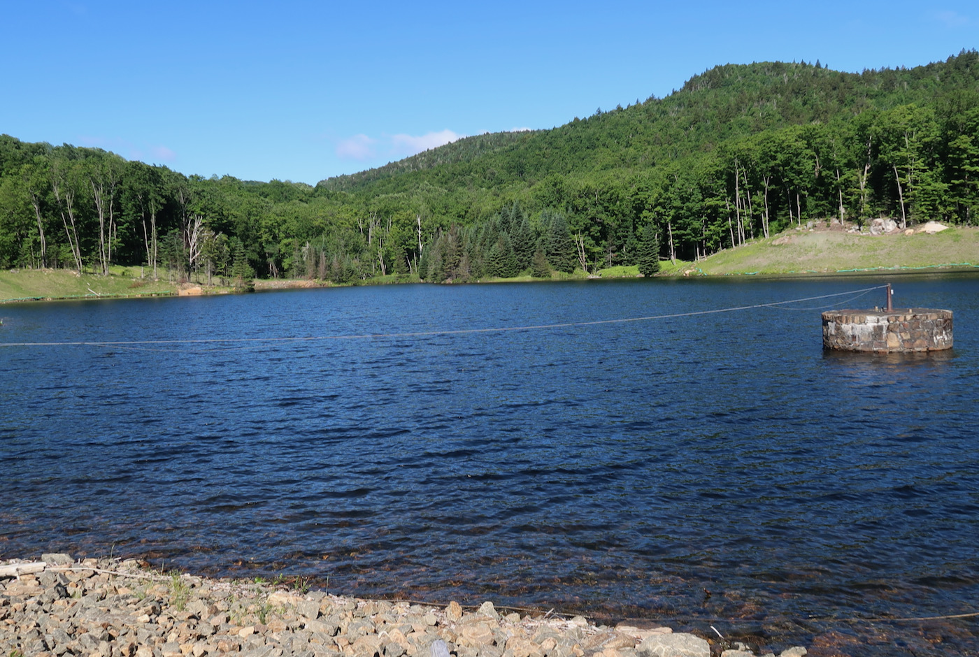
We came out at the pipeline, where, conveniently, there was another UTV waiting. Then up pipeline to the reservoir. Bone showed me a huge amount of rock piled up along the side of the pipeline traverse. It all came out of the far end of the reservoir in 2020, nearly doubling capacity.
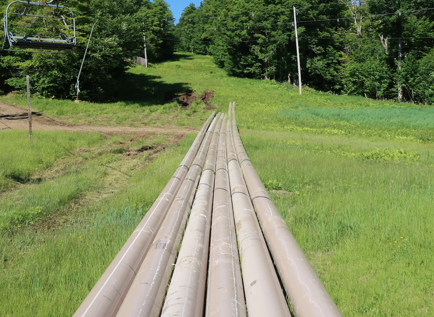
From there we drove up to the North Chair to inspect the new steel pipe that is a crucial part of the project. The snowmaking upgrade on Burnt Ridge has two parts.
First is the pipe that will run along the new trail. There’s also a separate larger pipe that will increase total water capacity from the reservoir to the top of Burnt Ridge. This upgrade gives Gore the ability to blow on two trails at once in the pod.
I’ve made some bad predictions in the past, notably when I walked Cedars from the Gore base area in summer and declared you wouldn’t need to skate too much to get over there. Regardless. I think finishing Burnt Ridge was the only path forward, an improvement most skiers will love.
Full disclosure: personally I accepted what happened on the Dark Side as both necessary and sad. I don’t see this in the same way, it seems more win win to me.
What do you think? Hand it out below.
Great read Harv. I’ve had some deep days in the Barkeater glades, glad to hear there’s still more to come!
Thanks for an excellent update and report. This trail addition makes Gore a better ski area by making Burnt Ridge more accessible for more skiers and riders. It also helps tie main Gore to the Ski Bowl. The additional snowmaking should allow Burnt Ridge to open earlier than the typical mid Jan opening. These are all positives that should have been taken care of in the 15 years since the BRQuad was installed.
Very interesting report for this intermediate tree skier who has often enjoyed the first half of Barkeater, but not so much the rocky ledges.
Burnt is often underpopulated thanks to the PIA traverse, so this additional connectivity should help even out the skiing on the mountain. Seems like a very good plan.
I already chimed in on this last month. I do Master Planning for a living, not ski areas but health systems. The longest shelf life IMO that a Master Plan has at best is 10 years. I don’t know the details of the Gore Master Plan, but I would be curious as to when it was last updated.
I have two overarching concerns with Gore’s development planning:
1) There is a tendency to continue to expand terrain. I also understand that they are improving snow making capabilities in parallel with terrain expansion also. I am not an expert, but at what point does terrain expansion and snow making capabilities become unsustainable? Gore is a very large mountain, is continuously expanding terrain logical? Perhaps providing an improved experience with what is available might serve as a better draw for more skiers?
2) Gore is a State owned ski area. It is immediately adjacent to the Village of North Creek. It is as far as I know, one of the only ski areas in NYS, and actually in the NE that has the most unique opportunity to create a true, integrated big mountain experience that combines the best of both worlds. Imagine North Creek as an integrated ski village, with direct connectivity to Gore Mountain. A ski in, ski out village the likes of which is usually only seen in Europe. Instead of building a new lodge in the Ski Bowl, perhaps that money might be better served on an integration plan that benefits not only Gore Mountain BUT ALSO the Village of North Creek? Maybe stop catering to the big developers with tax breaks and the like and start helping the tax payers of NYS?
Maybe an updated master plan might be in order, or at a minimum an assessment as to how to better integrate Gore into community and ensure quality skiing on terrain available. And yes, I would agree that as much as Barkeater was a great glade, the improved connectivity was necessary.
One more thing. This new connector will be popular and will increase the cross-traffic near the Eagles Nest Bridge.
Right now that intersection demands close attention, so multiplying the traffic there may suggest a need for brush cutting or ?? to increase visibility.
Awesome
breakdown.
Great update, thank you for the detail Harvey.
On a side note, MikePom has a good point, which there must be a compromise or solution? My only hunch, with opening up development involves public and private sectors to work together, which the APA will have something to add.say about development. To date, at issue is the lack of a sewer plant in North Creek to cater to more crowds..
Good point Mike. I also believe the village has untapped potential as a ski destination.
Harv thanks for the report and your efforts. It is good to know much of the glade will be preserved. Much appreciated.
So how many of you have gone on the FB page to suggest a name for the trail?
You’ve reminded me that I need to run Gore this summer. Thank you.
There won’t be a continued expansion (meaning more trails on NY State land) too much beyond this point without a change to the state constitution. The trail mileage limit is 40 miles and I believe Gore is around 35 miles after this new trail is added.
Note that trail development at the North Creek Ski Bowl, on skier’s left of the current liftline is not included in that limit as that terrain is owned by the Town of Johnsburg.
Thanks for the update Harv! While making access to Ski Bowl a little easier for the intermediate skier, was there any mention about making Burnt itself more accessible?
I’m glad we have you to keep them in check Harv. Can’t wait to rip it!
Thank you for this write up Harvey.
Cutting out the challenging bottom section of Barkeater as a necessity may allow it to open more, but it also encourages more of the riff raff to ski it, and ski it out faster. That being said if Gore is determined to put a trail over there this is the best possible outcome.
Do the glades count towards that 40 mile limit?
Not touching the riff-raff thing. But the rest of it: all improvements get the mountain skied out faster, in the long run. Lifts certainly, lodges, parking, even snowmaking will eventually bring more people to the mountain.
Gore and Whiteface and Belleyare and Van Ho, are from all of us, to all of us who love skiing. If we want the state to invest in these mountains — and that is an if — then we have to accept that it will make the mountains more popular. That’s likely WHY the state spends on winter sports.
At Gore glades do not count toward the mileage limit. I’ll see if I can figure out exactly where we are on the limit with the new trail added. I thought we were getting close.
Harvey, thank you for this detailed trail description of what is apparently named “Backwoods.” Count me among the happy that Barkeater will not be compromised too much. It raises a specific question regarding the Gore master plan.: Was there a plan to drop a new trail off Foxlair that would run skier’s left of the Topridge chair and end at the base of the chair? Thanks again!