Since I first started skiing at Garnet Hill in the 1980s, Botheration Pond has captivated my imagination. I’d see it on the map, so close, yet tucked away. It symbolized all the remote spots in the Siamese Ponds Wilderness that were out of my reach.
Together The Vly and Botheration Pond form the headwaters of the East Branch of the Sacandaga. When I studied the map, it seemed that the waterway would offer a long stretch of easy, beautiful and remote marsh skiing. With an intriguing name and no trail accessing it from state land, I was very curious about that pond.
It all opened up to me, when I saw something interesting in an old ADK guidebook. The “dead end” trail from the Farm Clearing to the East Branch was labeled the “Botheration Trail.” That made sense: the original road must have crossed the creek, and followed it upstream to the pond.
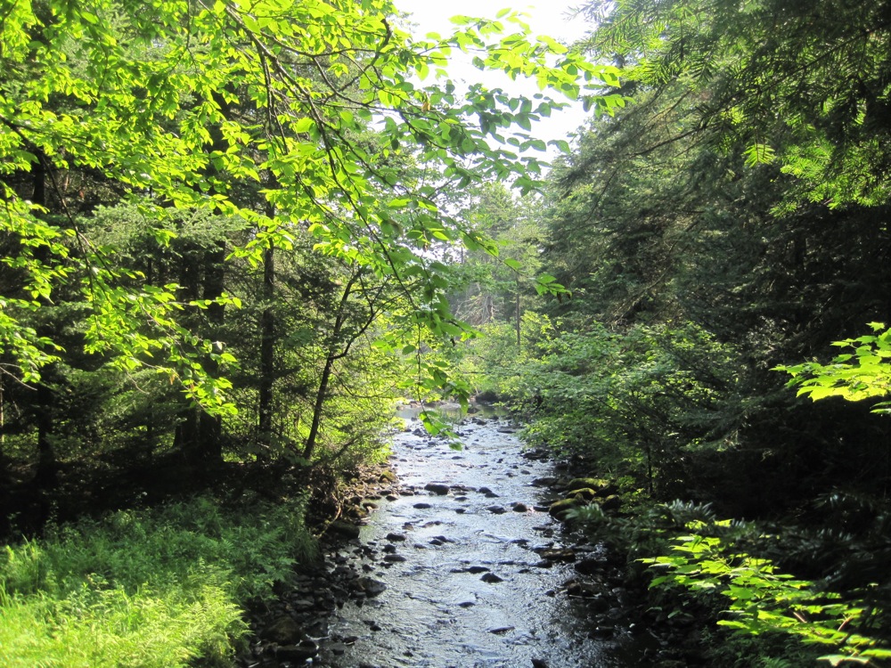
The next chance I got, I skied out the end of the marked trail to see if I could find the old route. I gingerly crossed the frozen stream, and entered the world “off the map.” The route quickly became a favorite. Close to the trailhead, with a very remote feel to it.
Now the trail has been brought back on the map by the DEC. I recently walked the Botheration Pond Trail for this first time since it had been cleared and remarked as an official trail. It was much as I remembered it. Part of the reason for this is that trailmaster Steve Ovitt has done a great job with the layout, using the old trail where it makes sense.
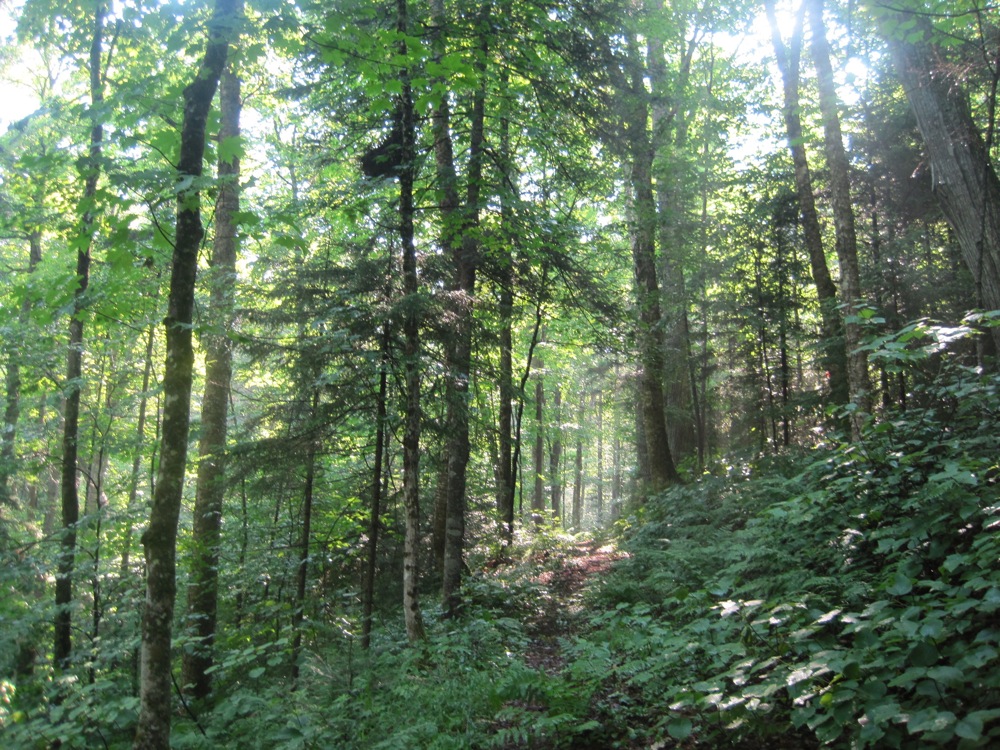
The trail climbs a small hill on the other side of the East Branch, quickly moving away from it. The route retains the feel of an old wagon road at many points.
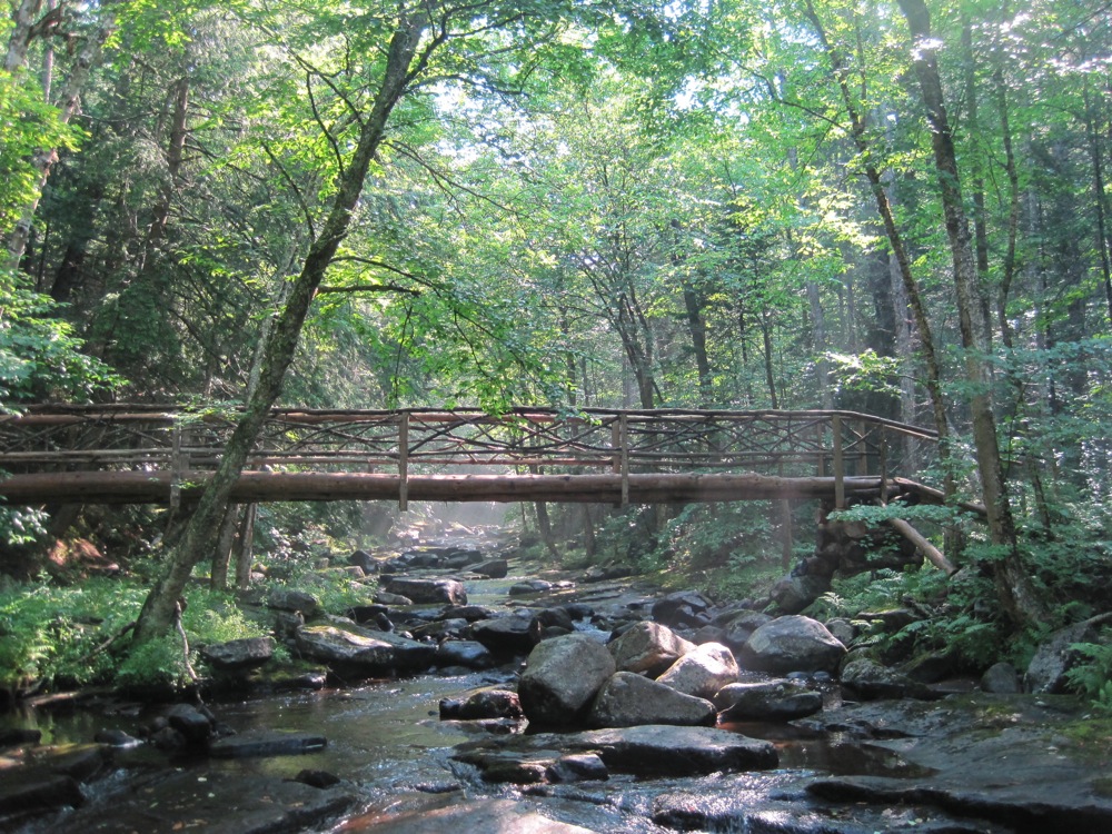
Eventually you come back down and cross the stream again, on a new wooden bridge built on an earthen substructure that is vintage. It’s great to see the current route merge with vestiges of the original road. The new bridge is a large span with four big trees laid onto the old berms.
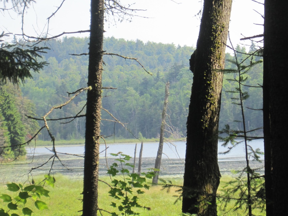
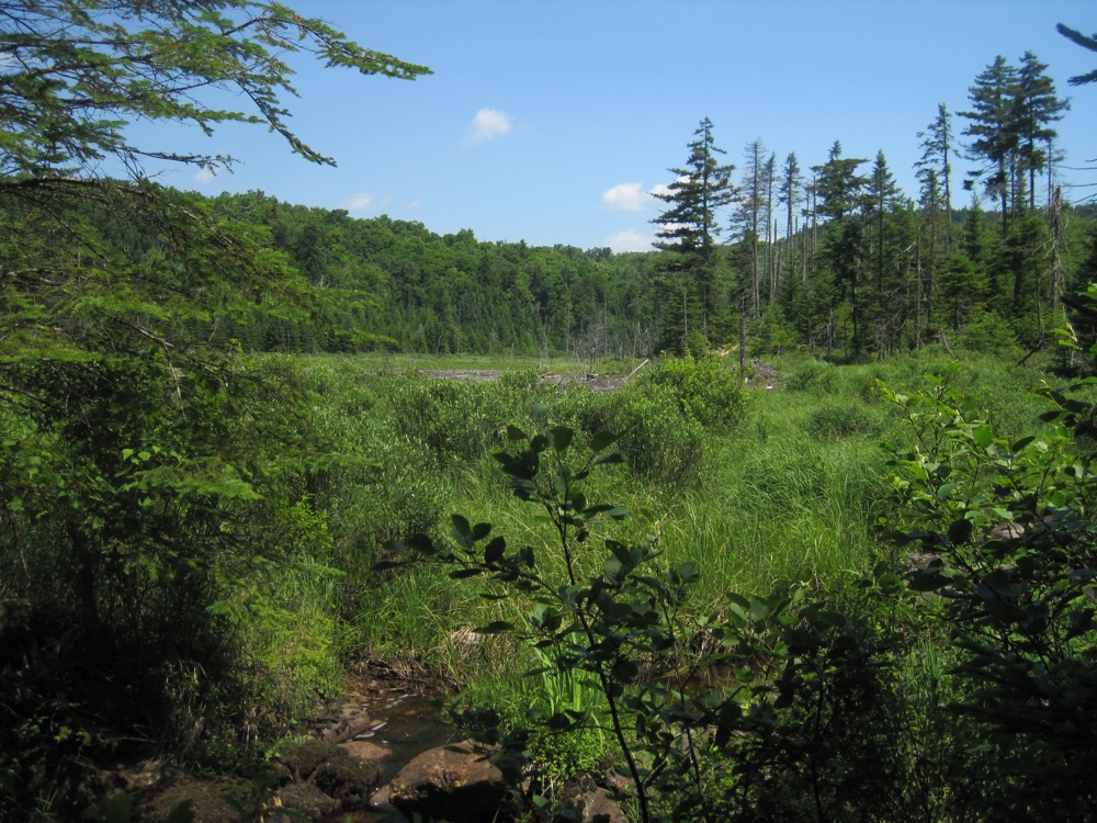
The trail then skirts the western shore of Botheration, offering glimpses and eventually a full view of the pond. In the winter you’d be out on the promenade, coming right down main street on the waterway itself. It’s a really enjoyable ski with views of the backside of Gore. The trick in the winter is to get as much use out of the waterway as possible, without trespassing on Barton’s land or getting boxed by small trees in at the northern end of the swamp.
After leaving the pond, you come to the intersection of the Halfway Brook Trail. Halfway Brook is another storied trail: it served as a primary thoroughfare for garnet mine workers moving between the mine and Garnet Hill.
It’s been state land for many years and is also an excellent ski trail.
At the Halfway Brook intersection, you can head back towards Garnet Hill or continue on towards Barton’s Road. I continued north on the Blue Trail toward the road and the Raymond Brook Ski Trail. On the way there are stands of big beautiful maples and glimpses of the The Vly. You come out onto Barton’s Road, 6.7 miles from the Old Farm Clearing.
It’s a nice hike and a great ski route when combined with other trails in the Siamese Ponds Wilderness or Vanderwhacker Wild Forest.

Nice story. I need to spend more time in this part of the ADKs.
This is a great ski trail. I did it twice this past winter. Beautiful woods, nice pond, river, & vlys, and a well designed trail. One of my favorites.
@Peter – would love to ski with you. Maybe if I get you out into the backcountry, and you don’t know the route I could keep up.
@SteveSam – I totally agree. I’d thought I’d be disappointed to see this old (semi) secret route expose, but I really think it’s great that it was cleared and remarked.
Have a couple more posts coming on trails in the garnet hills.
Good story! I have to go there with my husband to explore this trail. You’re shots look stunning, pure gift from nature itself!
Way to go, Harvey!
@Harv I’ve been known to ski at an easy pace. Whether it’s a groomed track or in the backcountry, it’s not always about going fast.
Headed North this weekend for a Sat. or Sun. ski of the place with another guy; intermediate ski I presume as I have been to the Vly from Garnet a number of times. Any other input? Looks like a high in the mid teens…winter-nothing else like it!
@Paul – I didn’t get into the woods this weekend so I’d be speculating. And I hate to make recommendations for skiers I don’t know, but… Low angle sections of anything that hasn’t been snowshoed (or postholed!) I think should be gently skiable. You’ve got a firm base with 4-5 inches that has fallen on top. More snow will obviously improve that. Disclaimer: I don’t worry much about base damage. YMMV.
I got out to ski this loop this weekend, skijoring with our dog Rocky. I found it a little above my skill level, particularly when tethered to a dog, and ended up using the emergency release on the harness a bunch of times on some of the hills (and still crashed a couple times, but no lasting damage). Found the snow great, but FAST, particularly around the Hooper Mine area, where it was packed down by heavy snowshoe traffic.
Yo guys and gals just skied this trail last weekend. trail is in great condition. my suggestion is to go clock wise thusly avoiding the steep descents near hooper mine area. should be good all though out march 2013. expect the ski route to take 3 hours +-. we ran it in 2:40 but know of others who made a day of it messing around here and there and having lunch out on botheration pond they spent 7 hours to complete loop. can not wait to get back up there to ski the trails on the west side of 13th lake. i have a pdf file of the trail maps. any one wants i can easily email you the file. cool, cheers, happy trails, bob@bob-ingram.com
Skied the Botheration Pond trail loop yesterday. Conditions were excellent. Lots of fresh snow. Wonderful place to ski.
Skied botheration last Saturday 1/28/17. Came in from Garnethill, Went clockwise. Which if you ask me is the way to go. More downs, ups are not as steep. It’s a slow climb up around W. Blake pond, then it gets noticeably more of an incline. Trail “levels” out at The Vly at the top and it’s smooth sailing all the way to Botheration. I had been breaking trail all the way until almost to the bridge at the outlet of Botheration. Here I met a group of free heel guys going the other way. I had broke trail for them but those skis just weren’t going to make their day any easier. From here is another climb up out of the outlet valley but, the reward is a nice ski through a pine forest that closes in on the trail so the snow falls on you as the branches brush by. Really pretty. Bridge over the East Sacandaga has collapsed but with the river frozen not an issue. Little over a mile and you are at the Old Farm Clearing, sign in kiosk, and the turn to complete the loop.
It’s rated intermediate, I’d say that’s right. If you don’t have a good step turn in your bag you will fall. I did it in 3′ 20″ with minimum stop time. I was tried by the end no doubt and I’m in descent shape.
I would go again. 🙂