The Zone for Epic Northeast Snowstorms
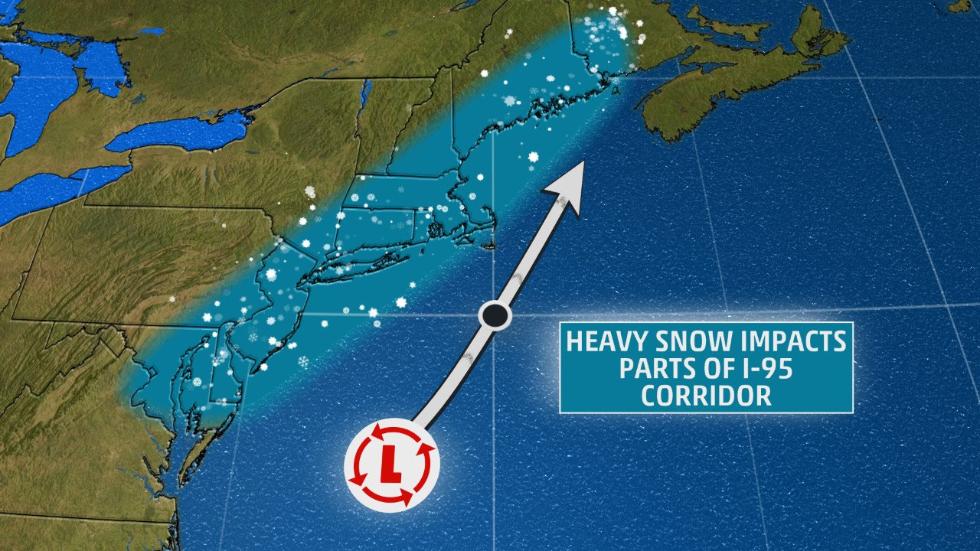
East Coast skiers knows that a nor’easter’s track plays a dominant role determining precipitation type and totals. When there is cold air in play, it’s all about the track.
Major nor’easters that pass roughly over the coordinates 40N 70W — known to meteorologists as the 40/70 Benchmark or the Nor’easter Benchmark — will deliver snowfall to the Northeast Corridor. Storms that track significantly east of this point and the storm will not impact the Northeast. Too far to the west of the benchmark almost guarantees rain or a mix precipitation scenario at best.
Alpine skiers don’t want huge dumps of snow on the metro area. If you’re a local it dumps in the city and the mountain gets nothing. If you’re a flatlander, it’s even worse, that storm is in your way. Nordic skiers on the other hand will likely ski the snow where it falls, mountains or not.
For a New York skier, great northeast ski storms often deliver rain or a precipitation mix in the lower Hudson Valley, while it’s snowing in the Catkills, Adirondacks and Vermont.
We keep an eye on the skier’s benchmark — 41N 72W — the eastern tip of Long Island. The TLDR for skiers is that the 40/70 Benchmark is too far East for our needs.
For current northeast US weather check out our NY Weather page.
Sources:
• weather.com
• wx4cast.blogspot.com
• https://s.w-x.co/

