
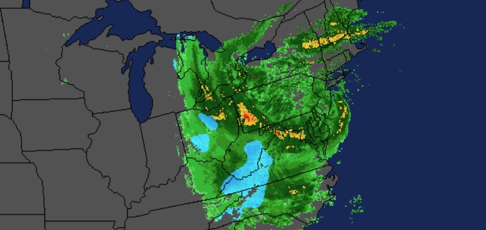
Hurricane Sandy was the 18th named tropical cyclone of the 2012 Atlantic hurricane season. Sandy formed in the central Caribbean on October 22nd and intensified into a hurricane as it tracked north across Jamaica, eastern Cuba and the Bahamas. Sandy moved northeast of the United States until turning west toward the mid Atlantic coast on the 28th. Sandy transitioned into a post-tropical cyclone just prior to moving onshore near Atlantic City, NJ.
The track of Hurricane Sandy was a worse case scenario for storm surge for coastal regions of New Jersey, New York (Long Island) and Connecticut. Unfortunately, the storm surge occurred near high tide and this created record tide levels.
The forecast called for deep snowfall in West Virginia and storm chasers from the Northeast went after it and scored.
More details via the Washington Post.
Source: