Finally, a day off with nice weather. Unfortunately, working until 9 PM Saturdays makes for poor odds for a dawn patrol start Sunday morning. As I organized my kit, I had no particular plans. Only that it was too late in the morning for a Catskills expedition.
I fired up the diesel shooting brake, then I looked at a road map… anyone still use those? Jenny Jump, Stevens State Park… nothing in NJ appealed.
There was Sterling Forest, abutting the NJ-NY state line in Tuxedo. Never been there. Why not? I slipped the clutch, and off we rolled.
Like Lake Minnewaska, Sterling Forest is managed by the Palisades Interstate Park Commission. Unlike Minnewaska, they don’t charge to enter. When I arrived, there was almost no place to park. It reminded me of the darkest days of the pandemic, when hordes of people rode or tramped on trails I used to have to myself.
At the visitor center, the ranger gave me a map. It was a nice color topographic printout from Google Maps, with the trails in orange, red… whatever color the trail markers were. She recommended the Bare Rock loop, which afforded a view of Greenwood Lake. “It’s four miles” she said.
I folded the 8.5” x 11” paper and stashed it in one of the pockets of my hydration pack. Four miles. So I could run Bare Rock, then loop around Sterling Lake, and make a decent day.
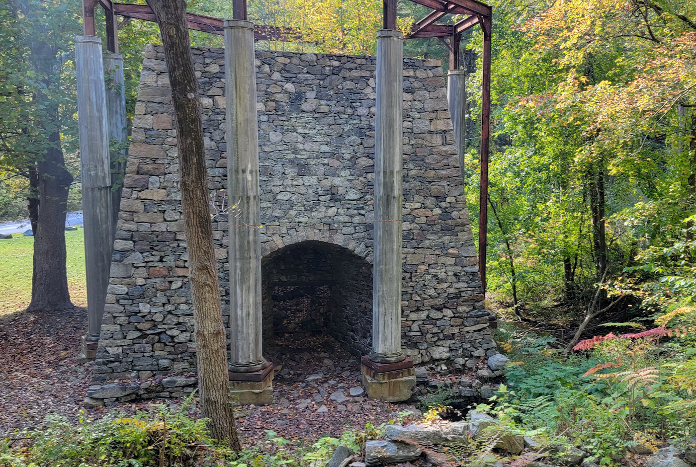
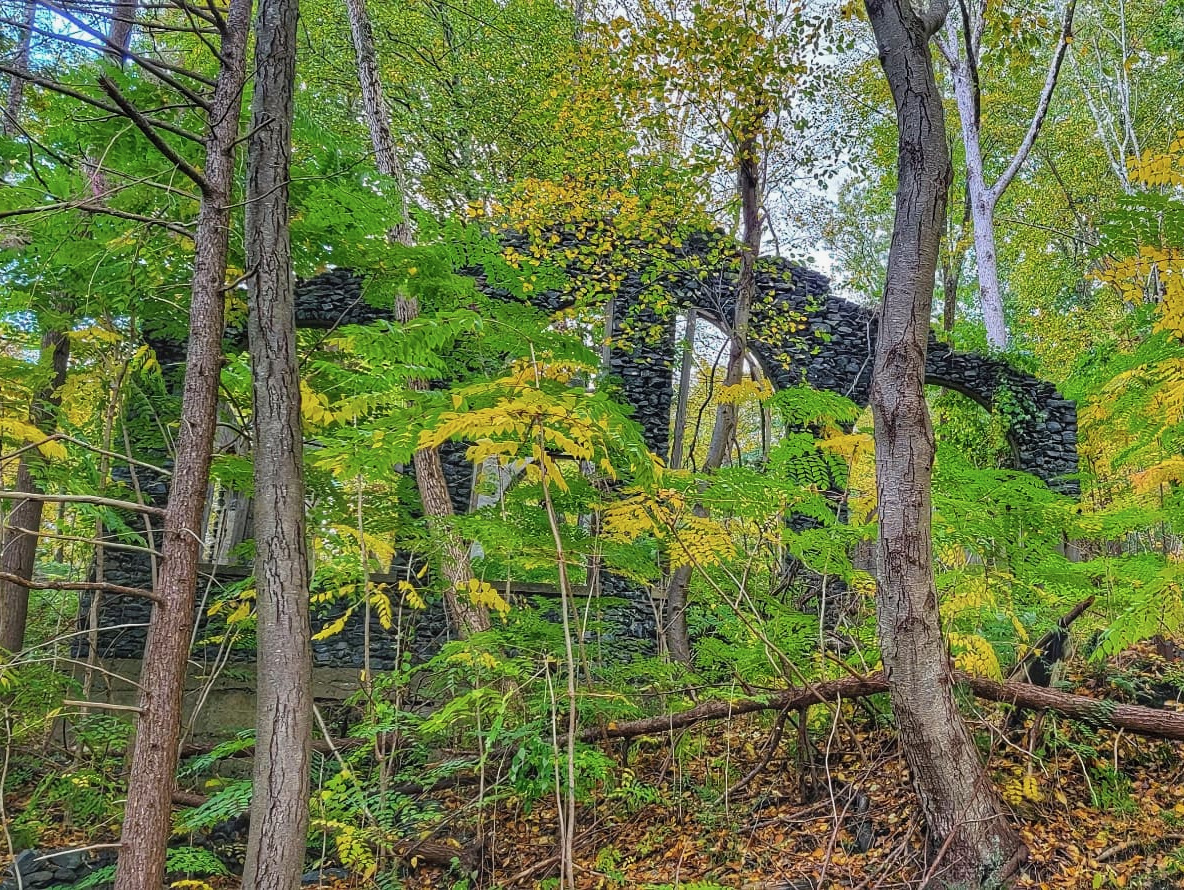
Setting out from the visitor center, I ran two-tenths of a mile through the woods to a road. Up the road, past houses and old mining structures. At the dead end, I went into the woods on the Bare Rock trail. The terrain close to the visitor center was crowded, but I had the woods to myself.
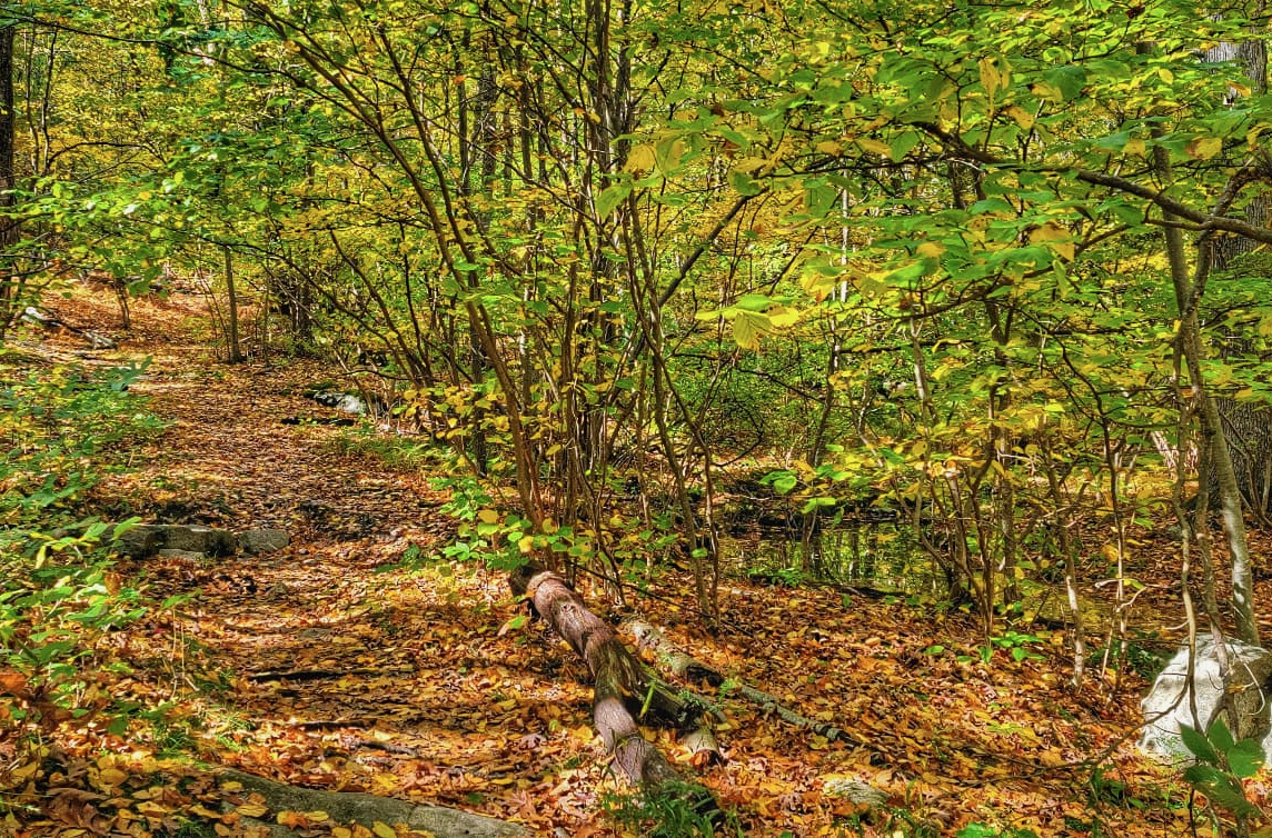
The woods and terrain here are similar to Wildcat Ridge, Farny State Park, and Bearfort Ridge on my side of the state line. Lots of hardwood forest, punctuated by hemlocks here and there. The occasional glacial erratic, trails that ranged from runnable to technical. Mining started in the 1840s, later than at Wildcat Ridge.
Bare Rock is a steady climb, intersecting along the way with other trails. At one intersection, I stopped to check the map to see how far out I’d run.
The map was gone. It must have fallen out when I stopped to tighten my shoelaces. Uh, Salomon? The speed lace system works great on nordic ski boots. On trail shoes, not so much.
So: unfamiliar territory, no map, no headlamp, compass, or emergency blanket… just a liter and a half of sports drink and two extra layers. The smart money would have turned back, but I’d started at 11:30 and already gone a mile and a half out of four. Bare Rock had been a big orange loop on the map, and I was running it counterclockwise. Then you link up with the Fire Tower Trail, and back to the car you go. I decided to take the plunge and keep moving ahead.
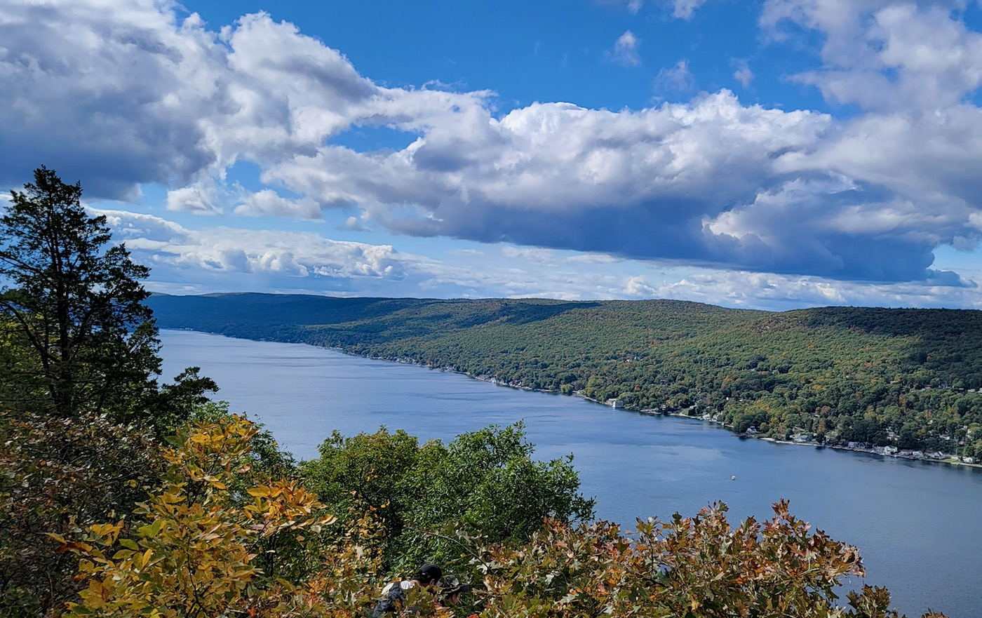
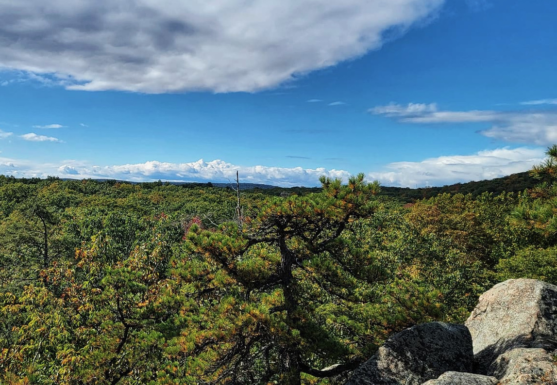
Up, up, up. Never brutally steep, but a steady climb. At around three and a half miles, I diverted to the eponymous rock outcropping overlooking Greenwood Lake. Did the ranger miscommunicate, or had I not been listening? Whatever, Bare Rock was gonna be noticeably longer than four miles. Meanwhile, the scene at Greenwood Lake is jarring juxtaposition. The Appalachian Trail was on the ridge above the lake. On the shoreline, houses and marinas sat cheek by jowl.
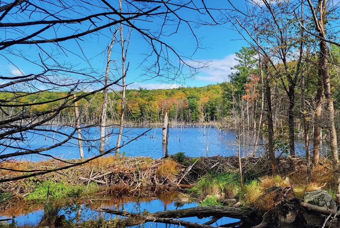
After grokking the view and memorializing it via camera, I climbed back to the Bare Rock Trail. Settling in for a taste of the unknown, both in terms of new place and no reference points. After another half mile, the trail wended downhill. Eventually I got to a junction with a connector that took me to a beaver pond and an unpleasant encounter with an unleashed German shepherd. It might be time to resume packing pepper spray.
The connector wound around the beaver pond to the Fire Tower trail, and I knew I was in the home stretch. Just so you know you’re in the northeast, Fire Tower includes two stiff technical climbs straight up the fall line. The second one topped out with the fire tower, which I skipped. From there, the trail became a truck road at a reasonable downhill grade. Back to the road, back to the visitor center. It was eight miles by the time I reached the shooting brake.
All in, a good day. Well marked trails and my memory of the lost map allowed me to dodge a bullet. That’s not something I’d try in for example, Harriman State park, where I always manage to get turned around. If you haven’t been to Sterling Forest, it’s worth the trip.

Good stuff, glad you enjoyed and found your way back. Sterling Forest is only a 20 min drive for me, I should get there more often. Last time I hiked Sterling I also got a bit turned around, seems the trail I remembered from 20 yrs ago was quite different now, and very overgrown. I remembered the Avenza app, downloaded the map for the area (luckily had service) and off I went. It really saved my bacon. Highly recommend in conjunction with a paper map, as it shows exactly where you are in relation to the trail.
Nice. It’s a great time of year to hit Sterling or Harriman/ Bear Mountain. I need to carve out some time myself.
Was hoping for a lost SF/ Tuxedo R hike to see if ye old Poma floating bullwheel was hanging, lol
Nice story. Years ago I was hiking a defunct ski area in Western Mass, and at the top of the area, started exploring old farm roads. Suffice to say, I realized at one point I was completely lost. Shortly thereafter, I looked up, and was under the FAA radar dome on Bryant Mountain. It was like standing under an alien mother ship. The good part, I knew there had to be a road to it, which in turn would lead to a main road. So I hiked down, had to ask a local working in his yard at one point, which way at an intersection. Fortunately, he told me the correct way. It was a sparklingly clear July 4, not too hot, low humidity, so the ordeal was quite pleasant. This area of Western Mass remains refreshingly undeveloped, with little or no traffic off of Route 9. After I got back to my truck, I backtracked my walking route: 10 miles. It had been of no bother, knowing I was no longer lost, and would soon be back in my cocoon of civilization. I passed the time walking the stone wall lined roads, imagining how settlers of the 18th century probably had to walk these distances regularly. I also fancied myself a young man walking to the next town to see his girlfriend, determined to make a “long distance” relationship work. It was probably done, perhaps on that same road.
You said it, the smart money would have turned around. On an unseasonably warm day in January pre Covid my friends and I assembled at the Anthony Wayne Bike Trail in Harriman State Park off of Pal Interstate for what was to be about a 90 minute ride. Got started and missed a turn, about a mile later ended up going down a really steep incline and one of the guys said think we should turn around and go back, BUT NOOOOO, about 7 and 1/2 hours later finally found the lot where we had parked just as the sun was going down, carried bikes up maybe 12 peaks and only found our way out thru the kindness of hikers as our map was outdated, just turn around.
It’s always amazing to me how raw the wilderness can be so close to NYC. The first time I hiked Harriman I couldn’t believe how close I was to the city. I haven’t hiked Tuxedo, but this inspires me to check it out… with a map.
You can really find yourself when lost. Love your rambles Peter. Keep going!
Well, this one blew up! Wish I could have recorded my friend Birger when he told me his misadventure. Back country skiing in Woodford State Park, VT. Got turned around, 8 hours to get back to the car. Dude was in his 70s at that point.
Love reading your stories.
Came across this post while Google searching some random things in my hometown, Greenwood Lake. Glad you enjoyed the hike and the view! I’ve hiked this trail with my dad since I was a baby. The view still never loses its beauty!