Over the past several summers, Bailey and Brian and I have been exploring landslides that scour the mountainsides across the High Peaks. Many of our objectives come from the book “The Adirondack Slide Guide: An Aerial View of the High Peaks Region” by Drew Haas, which contains images of most of the major slides and their bestowed names.
Throughout the years, we’ve climbed over 100 slides, including some formed after the book was published in 2006. Of course, some slides are more enjoyable than others due to their grip, dryness, accessibility, and views. Slides such as the Lake Placid Slide on Whiteface, the Autobahn on Santanoni, and the Eagle Slide on Giant are all notable and frequented slides to name a few good ones.
For years, I’ve anticipated exploring the backside of Basin and its ominous, grand slides. Specifically, its East Face as well as the Ribbon Slide, both being steep 4th class friction climbs that lie in a remote area void of any trails. Since it was on the agenda and the forecast was looking good, we felt it was time to start our long trek from the Garden. We arrived at the trailhead around 3:30am with maybe a half dozen parking spots left. The temperature was 48 degrees but was forecasted to reach the 70s by the afternoon. After a brief discussion with Brian and a jar of overnight oats, we began our hike into the dark hardwoods.
We talked about the day ahead of us as we headed down the trail, and we made it to Johns Brook Lodge within an hour. Thirty minutes later we were at the bottom of Chicken Coop Brook, which was our chosen route up to Basin. We were now about five miles in and I hadn’t even taken a sip of water, so we had snack before beginning our ascent.
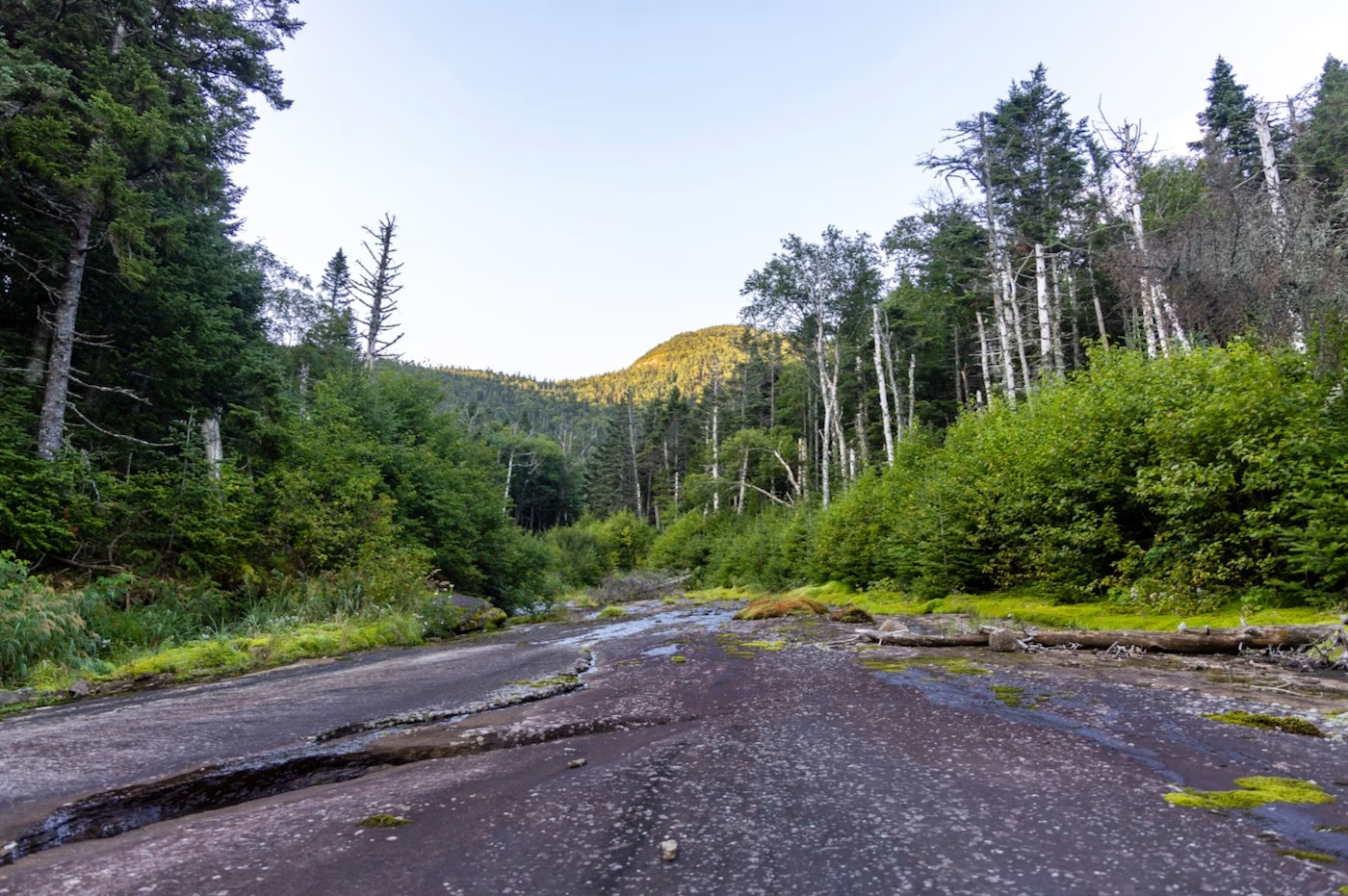
The brook was wide open with some timber fall across here and there. The sun rose at 6am; we took off our headlamps and kept ‘shwacking up the drainage to the first slide. At about 3500’ elevation, the brook opened up to maybe 30 feet wide and the sunlight was reflecting off of Basin’s trees above. The running water began to dissipate so we sat down to filter and refill our packs because we didn’t know when the next time we’d see any water since conditions had been pretty dry.
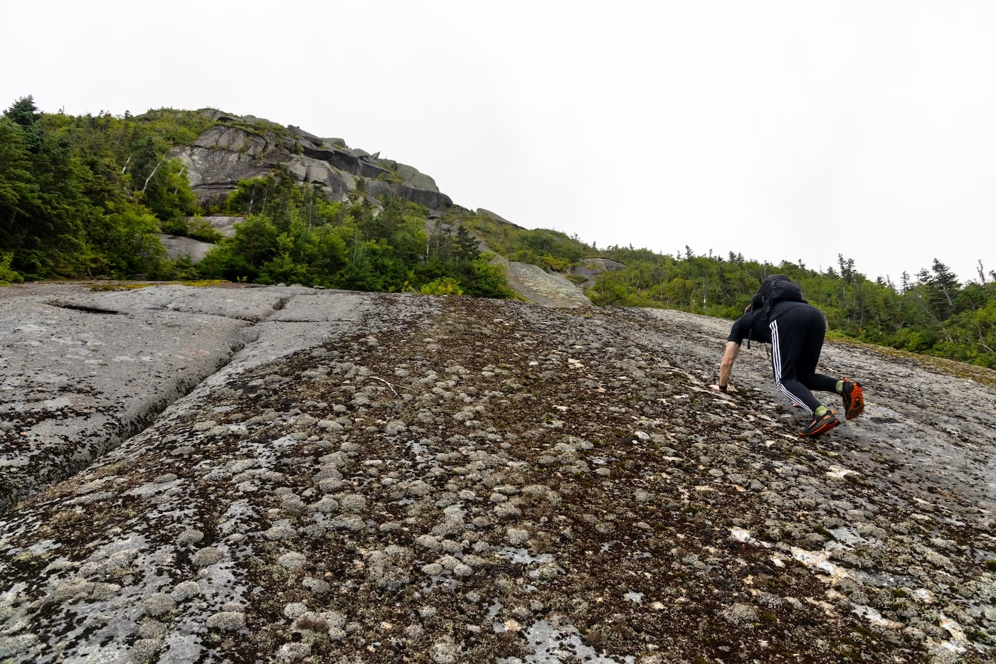
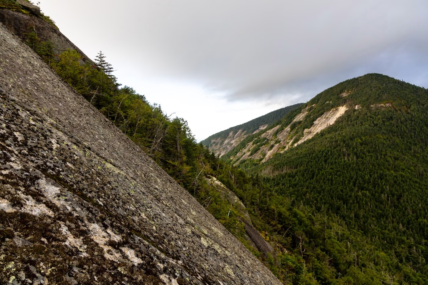
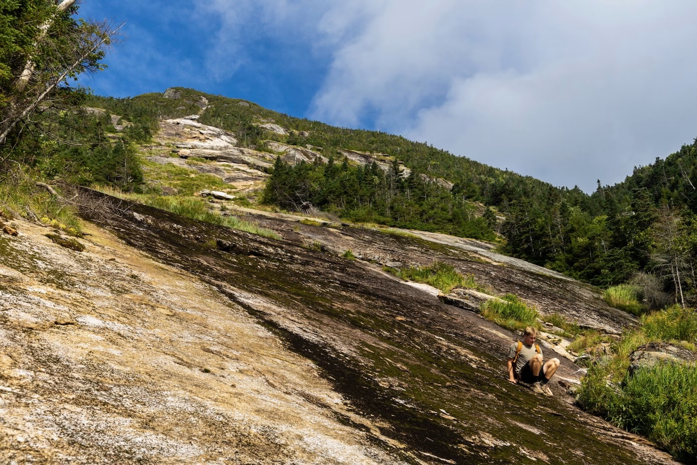
From there, we started to follow a smaller, mossy drainage towards the slide above, which is actually on Saddleback Mountain. As we ascended, a clump of dark clouds moved in from the south as the skies over towards the north were sunny and blue. Fortunately, they didn’t drop any rain on us, a concern if we were to climb some slick slides. After a couple minutes of climbing the mossy drainage, we came out to the bottom of the slide’s slab. At first glance, it looked very dirty – caked in moist lichen and large patches of moss. It looked to be at least 45 degrees with minimal texture in the rock, so we knew we had to be cautious with route selection.
Carefully, we climbed the “cleaner” parts where there was more rock than moss. That part of the rock was somewhat grippy and allowed us to scramble right up. Higher on the slab, there were a good number of fun cracks and other holds to play around on, so getting up that part was the highlight of the slide.
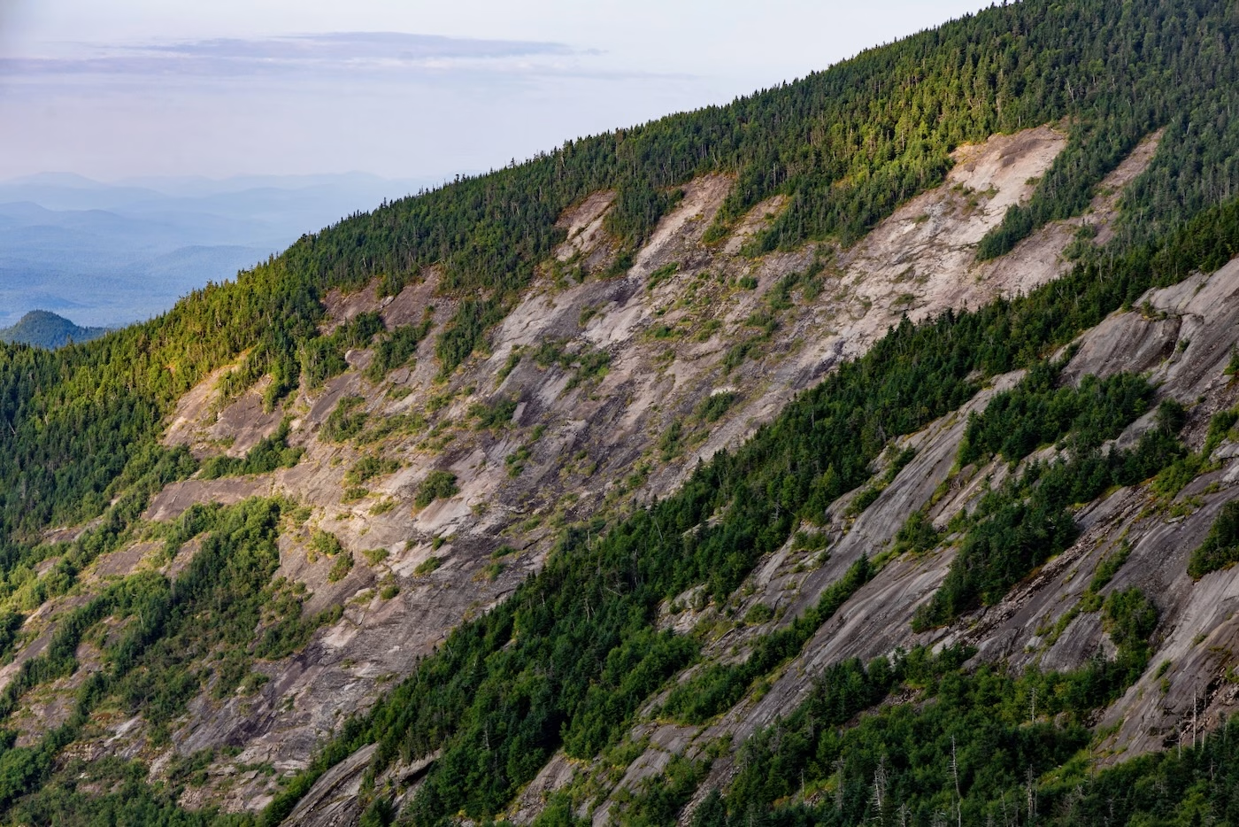
Eventually, things didn’t look as good. The headwall slab loomed above us, completely covered in dark moss and without any apparent holds whatsoever. Climber’s left had the least amount of vegetation but was still around 50 degrees and moist, so we took our time coming up this section. There was even a moment where I had ventured too far to the middle of the slab and had no safe way of ascending without using holds the width of a couple coins.
Below me was nothing but 50 feet of steep, smooth rock that wouldn’t stop me if I made a mistake. I began to panic a little as I hate to downclimb sketchy parts as much as climbing them. With a short and exposed leap to the left, I launched myself into some bushes just off the slide. Brian took this as a sign to not follow where I had gone and so he used some of the bushes to ascend.
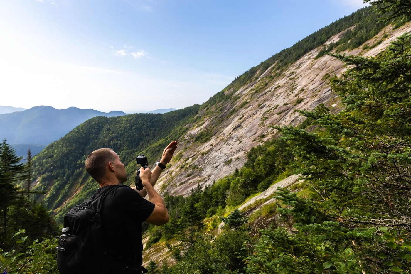
The last 20 feet of the slab was just as exposed and steep, but had a couple small divots that we could use as holds. Brian, seldom afraid of exposure, friction-climbed straight up the middle as I traversed across the slab to a cleaner section. A couple deep breaths later and I was at the top of the slide. Brian was about at the top as I could hear him say to himself “Don’t look down, don’t look down, don’t look down.” I think he said a prayer, as that was some of the sketchiest slab we have climbed in a long while.
Atop the slide, we had a nice view of the slide that we would be on within a couple hours on Basin. Without wasting any time, a couple steps towards the trail and we were on the top of the Saddleback cliffs, which are notorious for being one of the most difficult parts of any trail in the High Peaks. Being slide climbers, we quickly scrambled down using all fours and proceeded down the trail towards Basin. Our next stop would be the col between Basin and its shoulder.
The time was now 8am and we were nearly 8 miles in. I had barely eaten anything and began to feel hungry, so before we began our bushwhack to the East Face, we sat and enjoyed a serene brunch of Pop-Tarts™ and trail mix in the col. The East Face of Basin is labeled as a 4th class climb in the book Adirondack Rock: A Rock Climber’s Guide by Jeremy Haas and Jim Lawyer, and the best route to get to it – since there are no trails in the area – is to bushwhack down from the trail around 4,600’ to the bottom of the slide. As we entered the forest there seemed to be a faint herd path but we followed openings in the woods.
Soon we came across the bottom of a newly-formed slide. Its base was littered in an impenetrable blowdown, so we had to leave our direct route down and bushwhack west. The forest was fairly open but definitely too steep to descend. We had to make sure our hands were always grasping onto something lest we fall down through a moss-covered hole or slide down fallen logs.
Eventually, we stumbled out onto a meadow full of purple bottle gentians resting beneath a cliff that loomed above us. This meadow led us down just below the Ribbon Slide, which was goal after the East Face.
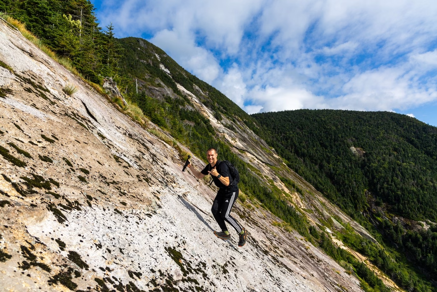
Following a short traverse to the west and five hours since our start that early morning, we now stood at the base of the East Face. My first thoughts were that it seemed much cleaner than I had anticipated. Still steep, with grades reaching into the 50s, but at least dry and grippy. We were all so excited to finally climb this behemoth of a slide in such a unique area not many people have ventured into, so we started up the slab in a hurry. There were many ledges and cracks to grab onto, not that we needed them anyways with how much grip the rock had. We practically ran up the slide and topped out in 30 minutes since we began the climb. The top was very windy but gave an immense view of the Ribbon Slide, which cascades down from the small summit cone.
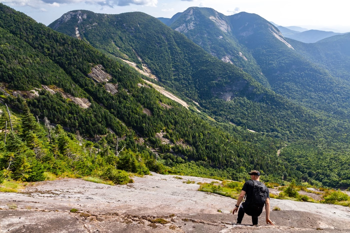
After a short water break, we descended on our hands and feet diagonally towards the base of The Ribbon which was only a couple hundred feet away. All of the pock marks in the anorthosite made for easy maneuvering around the small ledges scattered throughout the slab. It only took 15 minutes to find us at the base of the vertical slide. I could tell that this climb would be different than the previous one. The rock was smoother with a coarse surface but still dry as a bone; almost resembling sand paper. It was also steeper and a very light orange-pink, which was due to it reforming during a storm a few years ago.
Brian and I shared some concern because the headwall seemed practically vertical from our standpoint, but we wouldn’t know until we got there since perspective is everything when it comes to slide climbing. I led the others up the first couple hundred feet of slab. As featureless as it looked, our trail runners still gripped it well and after a couple ledge-climbs that required hand-use we made it halfway up.
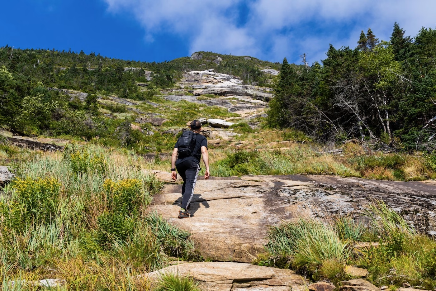
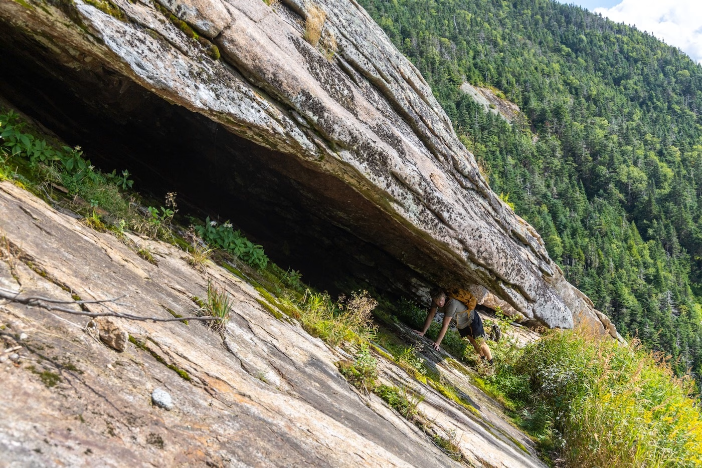
My eyes fixed upon a dark crevice above us. As we approached it, it seemed to be a large hanging slab above a dark corridor that stretched maybe 20 feet into the mountain: a cave. Although it wasn’t anything grand in size, it was still rare to see such a feature during a slide climb, especially right in the center. Being the photographer, of course I had to have Bailey climb inside and have a look around.
Above the cave, the slide began to quickly steepen and it was at this point that we needed our hands for the majority of the climbing. One of the cruxes was a ledge that was about 4 feet high and had minimal holds to it. We had to feel around for pock marks above the ledge and jam our right foot into a crack while we swung our left foot over the top and heaved our bodies over. Ahead of this ledge was a very smooth slab that had no immediate bail-out. It was either trust the grips of our soles or downclimb the ledge and find a way around, which was also nerve-racking since below us was hundreds of feet of steep slide.
Brian went first and carefully stepped into very small crevices whilst using the tips of his fingers to grab onto anything, which happened to be protrusions in the rock no bigger than a centimeter wide. After 20 feet of no-fall-zone climbing, the slab lessened in steepness and so once Brian shouted he was safe it was my turn. I tried to mimic Brian’s movements as best I could as he coached me on where to grab and step.
In these kinds of situations, my method to staying calm is to not think about anything else but my next move. In the past, I used to look down and start to shake, which would sometimes even freeze my body until I was able to calm down. Now, through some careful footing and making sure I always had my hands making contact with a hold, I managed to safely make it up to Brian.
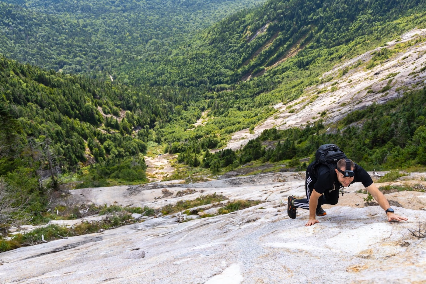
Bailey followed, but I tried not to watch as I knew that his shoes were more worn than mine and didn’t have a ton of grip. To my surprise, he managed to scale the section much quicker than I did. I guess I’m the more cautious twin. The section of slide above us was the headwall, which began as a timid slab followed by a rubble/dirt mix and finally a top ledge maybe 3 feet high. This part was mostly easy and fun except for the ledge. I had to try not to think about the nearly 1,000’ of steep slide beneath me.
All three of us climbed it in no time and took a second to take in the seldom seen view. This was definitely my favorite slide of the day and is in my top 10. Who knows, maybe it would make a good ski descent this winter season?
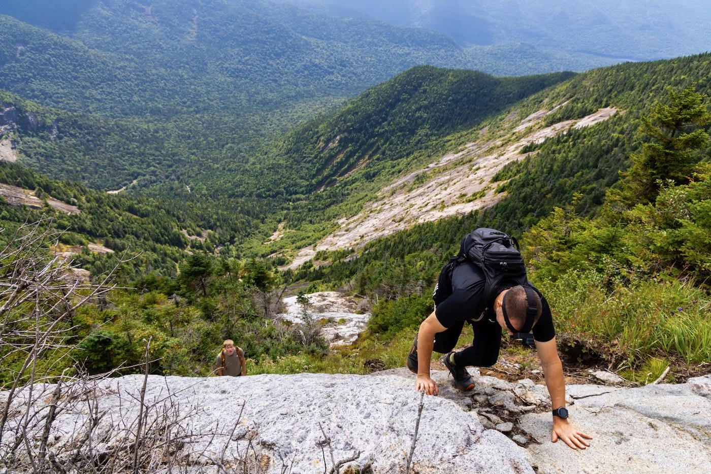
A thick and painful bushwhack through cripplebush followed as we headed towards the trail. This didn’t last more than a couple minutes but cost me a couple drops of blood and a few holes in my shirt. I was more than relieved to pop out onto the trail and make the short walk to the summit. It was now almost 11, the sun was out while the wind was blowing just enough to keep any bugs off of us as we admired the views and ate our lunch. Mine consisted of a Jreck’s sub and Stewart’s fritter, a hiking staple for me. We reminisced about the day’s adventure but knew that it wasn’t totally over.
Our summit break ended as we headed back down the trail we originally went up earlier that day to reach the col. From there, we decided to bushwhack back down to the Chicken Coop slide, but down the portion that rises up alongside Basin. The forest was oddly open and brought us out to the very grown-in slide just minutes from leaving the trail. There was practically no apparent slab besides the top headwall, which was covered in wet moss and would be treacherous to ascend or downclimb. The rest of the slide felt like a bushwhack since we waded through thorn bushes and through timber piles until the slide opened up onto the flat slab where we had briefly stopped in the morning.
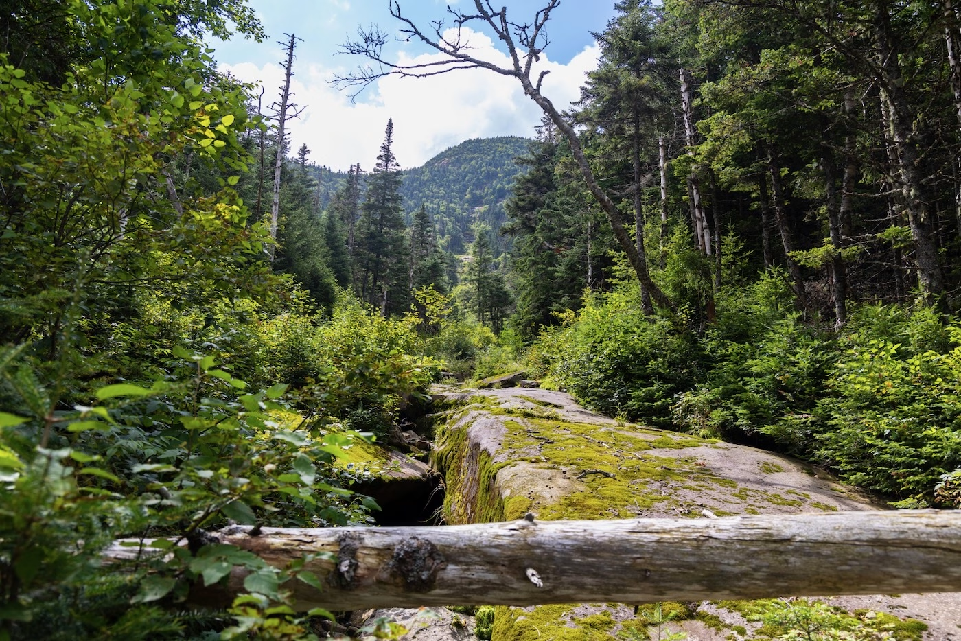
From there, we descended the brook drainage that we followed up earlier in the day and made it back to the Phelps Trail before 1pm. Oddly enough, none of us were thirsty or hungry and since it was a leisurely walk out we decided to keep going down the trail to JBL. From there, we found ourselves back at the lot at 2. My feet ached from the fast walking but the temperature was only 68 degrees so I didn’t break much more than a drop of sweat.
Our total mileage was 16.5 miles and 5,300’ elevation gain, an average day for this trio. If this coming Super El Nino winter pans out in favor of us skiers, we’ll see enough snow to return to the slides and ski them as god intended!
I am not a hiker but always interested. Rock on a great read!
Must be great to have a companion whose abilities mirror your own as well as a twin! When I try to follow you fellows, like on Moose Mt Slide, I manage to go about as far in 2 days as you go in 2 hours. Thanks for the informative write-ups.
Nice job. Your writing kept me on the edge of my seat. Those were some intense situations. I’m glad the weather held out for you. What an epic day!
Thanks for sharing this with us. What a great adventure. I’ve read it all the way through twice now. Excellent work
Chapeau. Well written, great photos. I don’t think I’ve been on a rock slide in decades.