
I’ve always appreciated the beauty of the Hudson Highlands, especially when fall foliage is at its peak. I was in the area in late October, so I reached out to Ripitz to see if he wanted to trek in the Highlands during my visit. His response was positive and he had an idea for an incredible adventure.
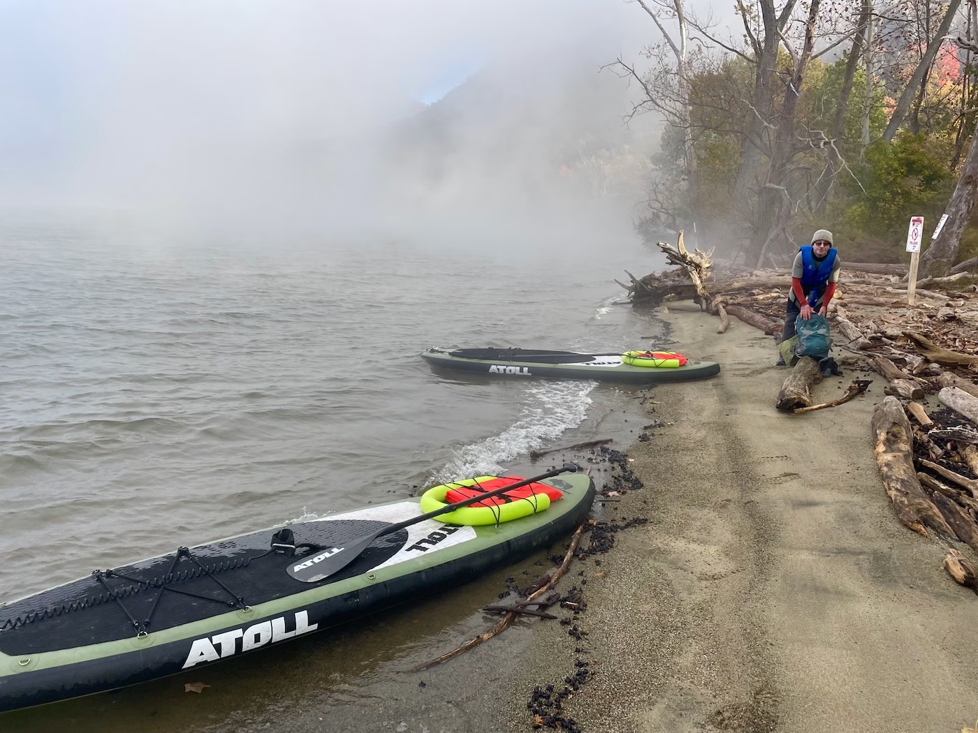
I found myself on an early morning Hudson River crossing using inflatable paddle boards. We launched from Little Stony Point Park just north of Cold Spring. The air was hovering around freezing, but the water was still relatively warm (low 60s). The marine forecast called for calm winds, minimal current and abundant sunshine. It seemed we had prime conditions to start our day with an easy river crossing.
The forecast wasn’t fully accurate. We arrived at the launch point to see the Hudson covered in fog. Once away from shore, the wind was stronger than expected, resulting in an equally unexpected strong current that was working against us. This wasn’t going to be the easy river crossing we’d anticipated.
It was apparent that we needed to move fast and limit our time in the shipping lane, to avoid the possibility of a freighter suddenly appearing out of nowhere. To make things more interesting, there were 1-2 ft wind-driven waves that would randomly appear out of the fog. I think now is a good time to mention that this was my first time on a paddle board. Trial by fire.
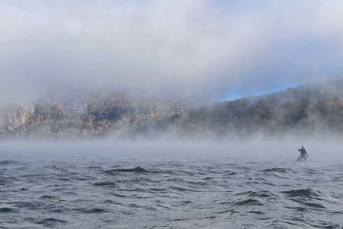
Luckily, paddle boards are pretty stable if you stay on your knees; trying and stand up in these conditions never crossed my mind. Visibility improved a bit as we got closer to the other side.
The toughest part was the relentless effort needed to battle the strong current. If you stopped paddling, you would drift a considerable distance downstream in the blink of an eye. In addition, the spray from the choppy conditions resulted in everything on the paddle board, myself included, getting wet. We were glad we wore wet suits and packed our gear in waterproof bags for the crossing.
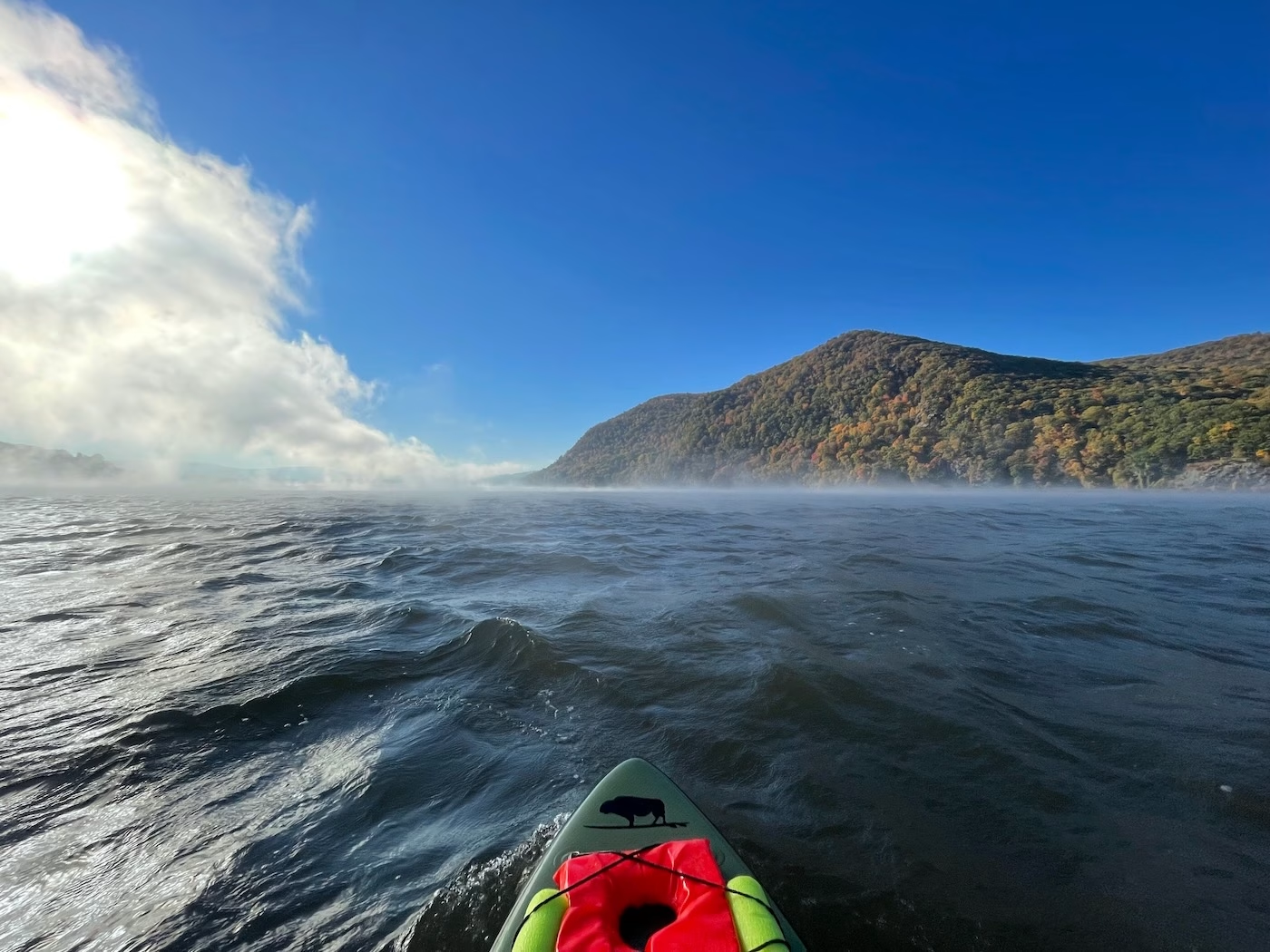
Once we came ashore on the west side of the river, I was tired from the effort but also full of adrenaline. I now appreciate why this part of the Hudson where it narrows and deepens between Storm King Mountain and Breakneck Ridge was called Wey-Gat (i.e., Wind Gate) by early 17th century Dutch sailors due to how it acts as a natural wind tunnel which caused navigational issues when sudden intense squalls would blast through. Their description is still applicable 400 years later.
As the sun started to shine through the dissipating fog, I was reminded of the immense beauty of this area, especially with the changing fall colors. We couldn’t rest long though because we still had many miles to hike and the sun sets early this time of year.
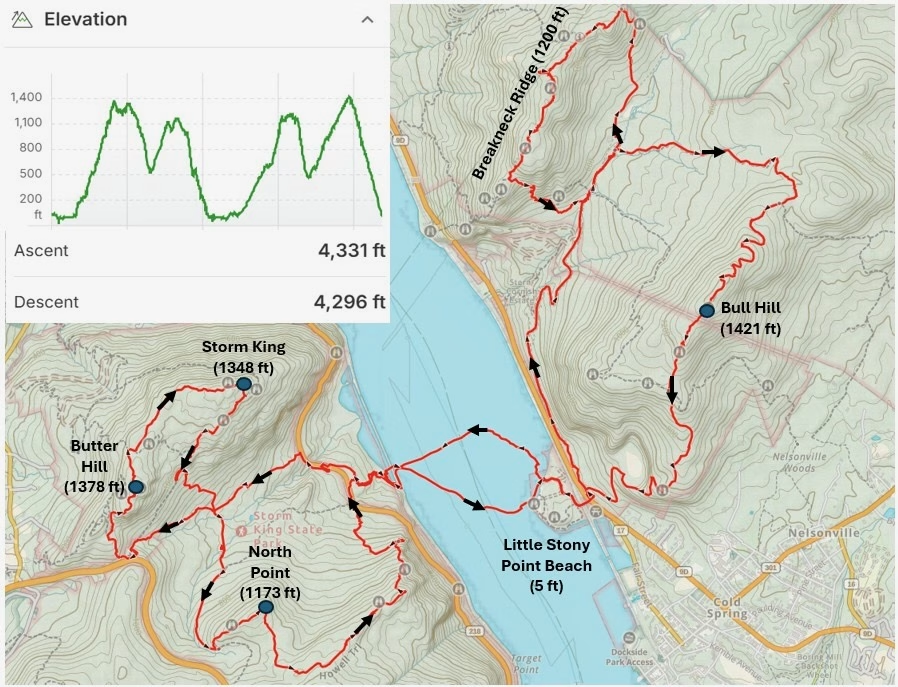
Our reason for this late October paddle board crossing was to expand on a unique trip Ripitz and Freebird made a few years ago. They hiked two peaks in the Hudson Highlands that are on opposite sides of the Hudson River (Breakneck and Storm King) and they used paddle boards to get back and forth across the river. They named the adventure the “Hudson Fjord Double Double” for the double river crossings and double peaks climbed.
This adventure expanded on the original by hiking multiple peaks first on the west side of the river (Butter Hill/Storm King and North Point) and then hiking multiple peaks on the east side of the river (Breakneck Ridge and Bull Hill) with the route taken on each side of the river being in the shape of a figure eight. Hence we dubbed this challenge the “Hudson Fjord Double Double Eight.”
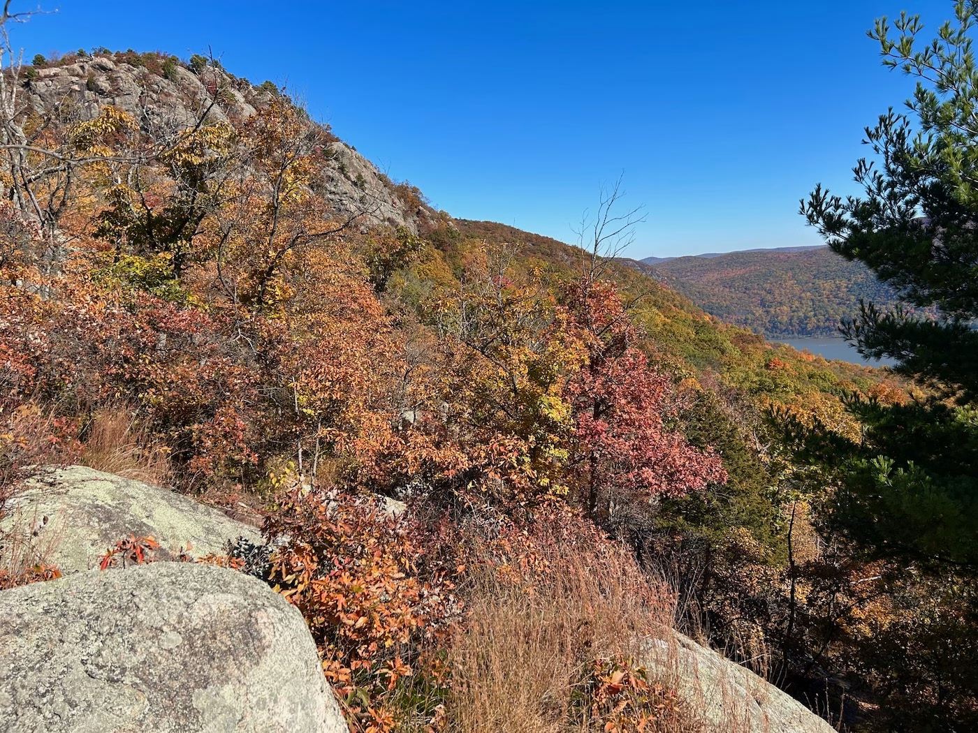
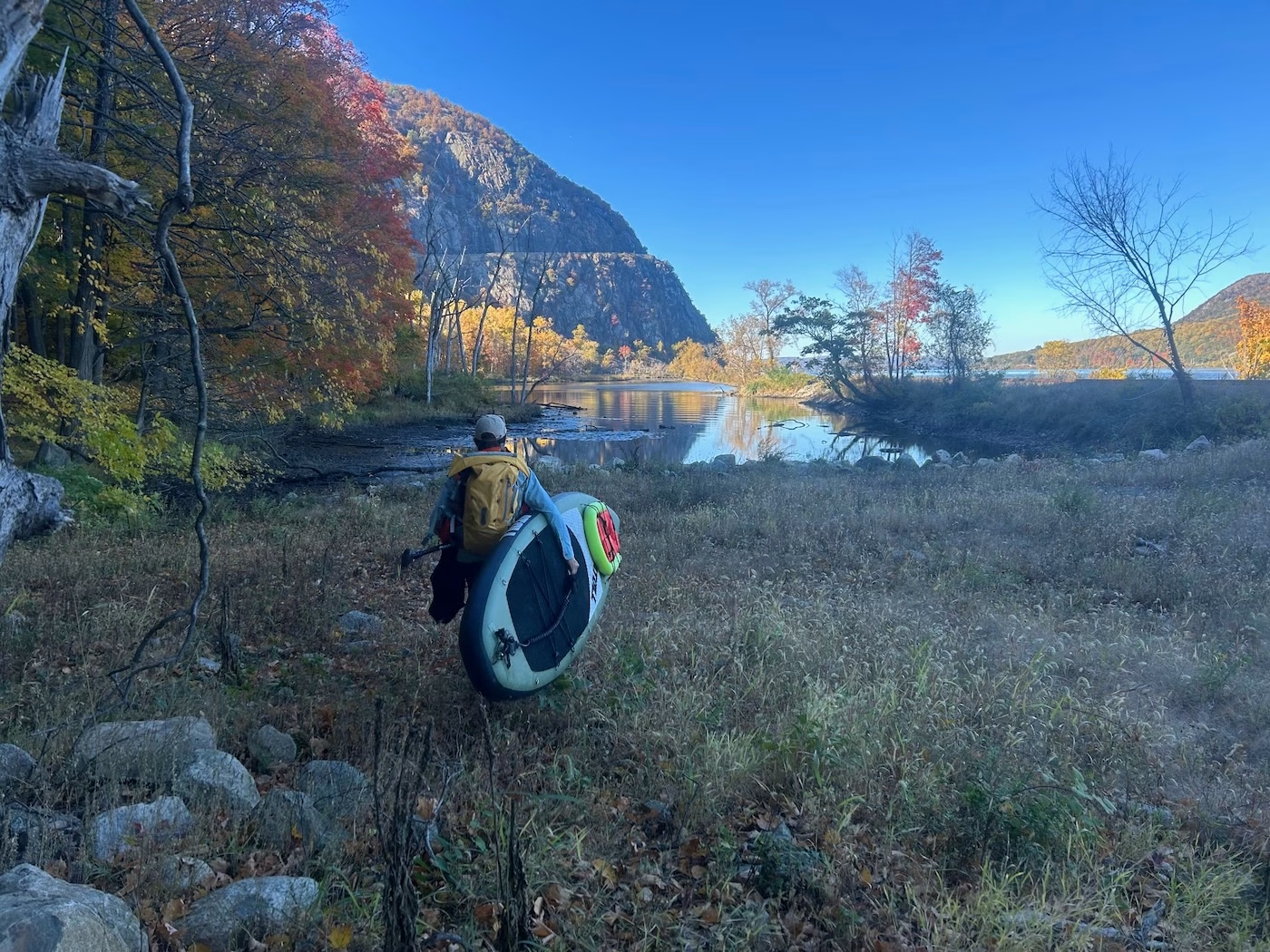
We beached the paddle boards at a small cove at the base of The Clove, a steep valley between Storm King Mountain to the north and North Peak to the south. Our west side figure eight started by hiking up The Clove following the overgrown remnants of an old dirt road/path from when the area was inhabited over 100 years ago. The Clove is mostly devoid of hiking trails, so we had the place to ourselves.
The solitude ended once we reached the Route 9W Storm King trailhead/parking lot where crowds were gathering to start the popular Butter Hill/Storm King hiking loop. Even though it was a bit of a shock now hiking with the crowds, I appreciated the opportunity to be with these groups as we enjoyed the challenge of scrambling up the rock exposure towards the top of Butter Hill.
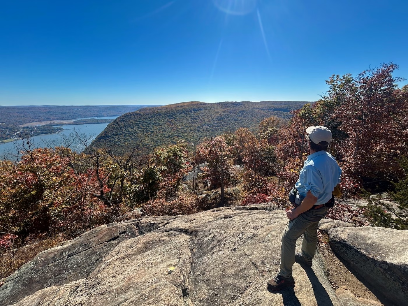
It didn’t take long to hike from the top of Butter Hill to the top of Storm King as they are less than one mile apart and are both part of the same mountain initially named Boterberg (i.e., Butter Hill) by early Dutch settlers because it was, to them, shaped like a lump of butter. The mountain’s name transitioned to Storm King in the mid 1800’s with Butter Hill, the higher of the two peaks, now considered a secondary summit.
Storm King provided multiple stunning views up and down the Hudson Valley. It was here that the enormity of our endeavor started to sink in as we gazed south across the valley to the next part of our tour, North Point.
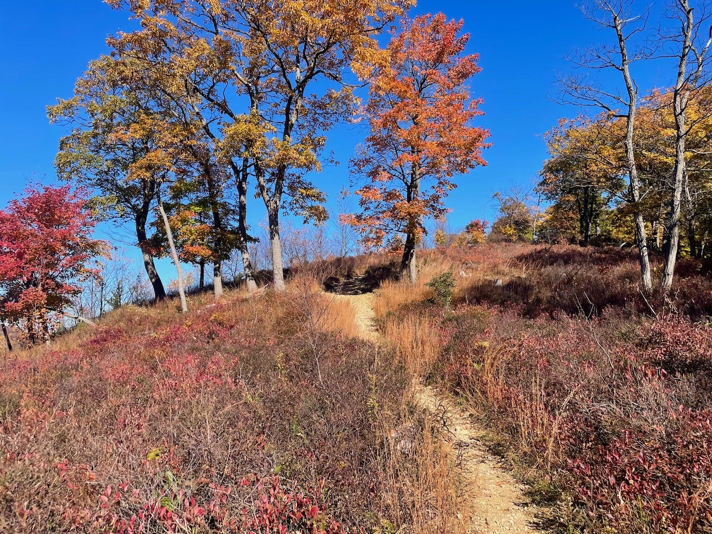
This was our first time hiking North Point, and we were blown away by the different feel of this highpoint compared to other highpoints in the Hudson Highlands.
Instead of having a tree-covered canopy interspersed with rocky outcrops, the vegetation on North Point was dominated by little bluestem grasses as well as huckleberry and low bush blueberry shrubs providing a more open, plateau-like feel with 360-degree views of the area.
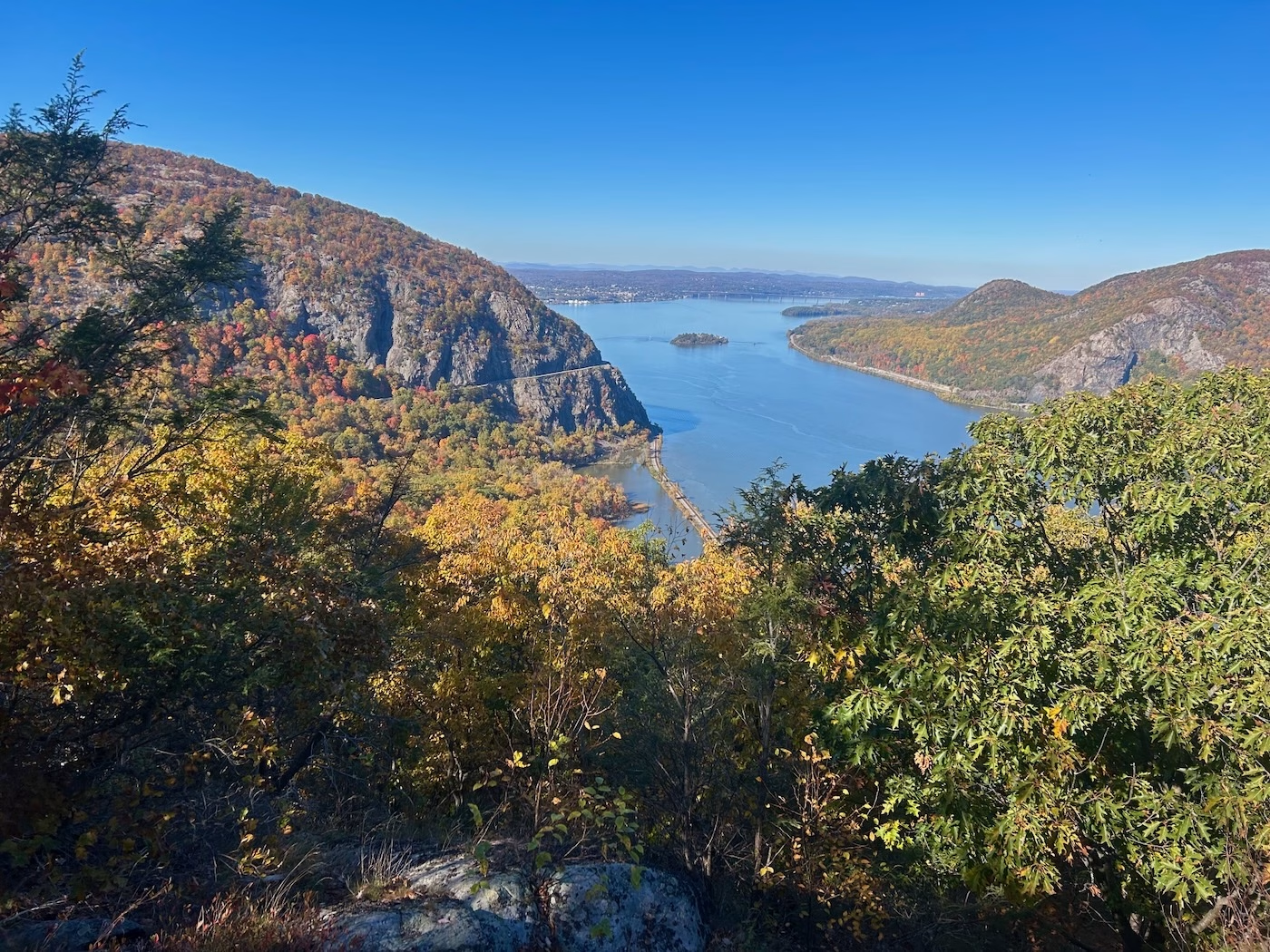
The steep decent down North Peak afforded multiple opportunities for scenic views. One of those views, the Pitching Point, harkens back to the 1800s when logging was prevalent in the area and loggers pitched (i.e., tossed) cut logs down the steep slope and into the river for water transport.
Once back at the base of the The Clove, we gathered the paddle boards and made our way to the cove for our return paddle. This cove, which was historically larger and more open, is now more of a shallow, silt-filled lagoon cut off from the main river by the railroad tracks.
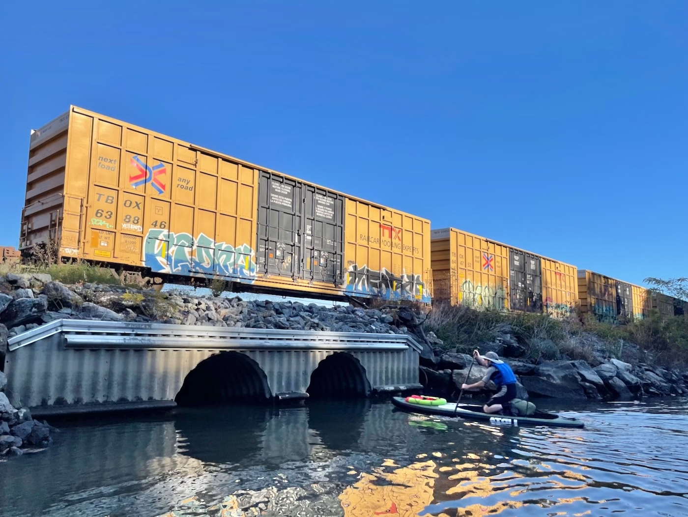
The only way water (and paddle boarders) can go into and out of this cove is to travel through a corrugated metal pipe under the railroad tracks. How flat on the paddle board you need to get to float through this pipe depends on the tide. We lucked out by getting to travel out through the pipe with a freight train traveling overhead.
The return paddle was a completely different experience than the morning paddle. There was still a current to deal with, but it was nothing like the morning. We could relax and enjoy the view.
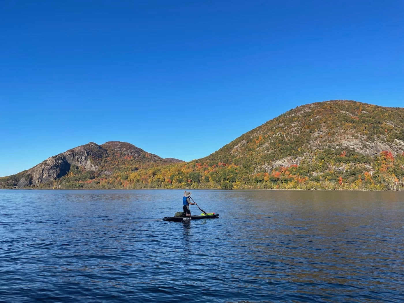
It was 4:30 pm when we made it back to our starting point, Little Stony Point (LSP) Trailhead, to put the paddle boards in the car. It took 7 hours to hike about 10 miles and paddle two river crossings. Once we stopped, I could feel the tiredness set in. I then got a bit discouraged when Ripitz mentioned in passing that we had about 10 miles to go. With only two hours of daylight left, I had my doubts that the Double Double Figure Eight would be completed today.
However, Ripitz was optimistic it could still happen and, after I had my first real meal since breakfast 12 hours earlier, I too was up for continuing. We needed to make time though, so we picked up the pace as we began the east side figure eight.
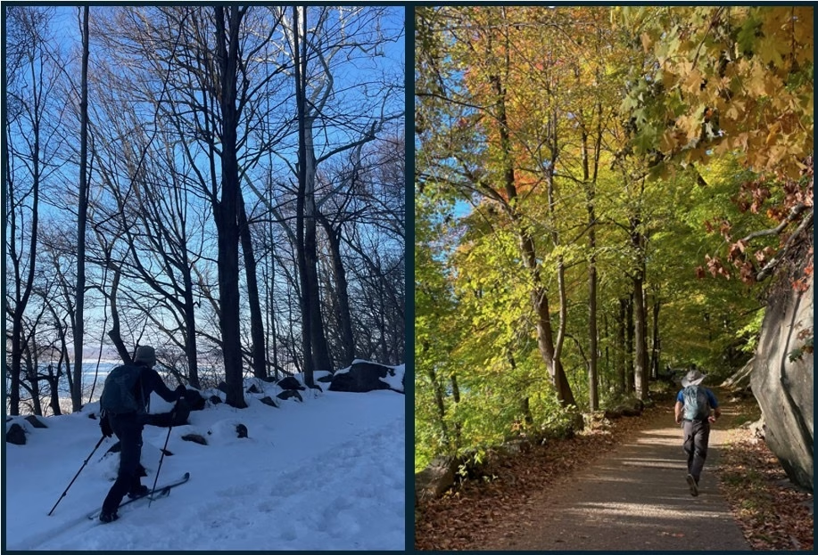
We started jogging from the trailhead up the carriage road with the goal to make Breakneck Ridge before the sun set. Our trek was the same path Ripitz and I took when we skied up to the ridge last season. Seeing the trail without snow, especially how rocky it was as we approached Breakneck Ridge, made us realize how lucky we were to have the snow coverage back in February enabling the trail to be skiable.
The main Breakneck parking lot was closed for renovations, so the LSP Trailhead was now the closest access point to Breakneck Ridge and Bull Hill. This, combined with the foliage at its peak on a warm, sunny day, made the path up to Breakneck Ridge feel like Grand Central Station at rush hour. We found out afterward that this day was the most crowded day of the year at this trailhead.
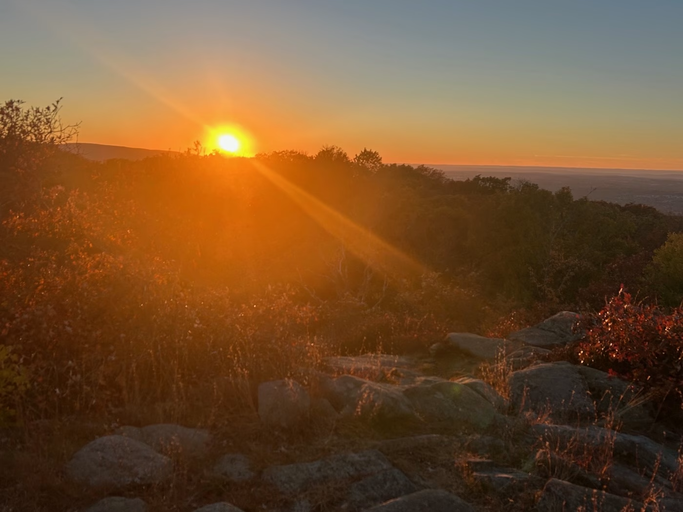
Because it was late in the day, most of the crowd was heading down and hikers were few and far between the higher we travelled. Jogging enabled us to cover ground quickly, allowing us to crest Breakneck Ridge just in time to simultaneously see the sun setting in the west and a full moon rising in the east. The beautiful twilight views were equally stunning as we jogged along the ridge.
The pace slowed as darkness set in and the descent off the ridge commenced. While it wasn’t our plan to still be on the trail after dark, I was glad we packed our headlamps. I make a habit of always packing a headlamp when meeting up with Riptiz, no matter how early we start. This isn’t the first time it has been useful on our trips. If Ripitz asks me to meet him for lunch, I’m bringing my headlamp.
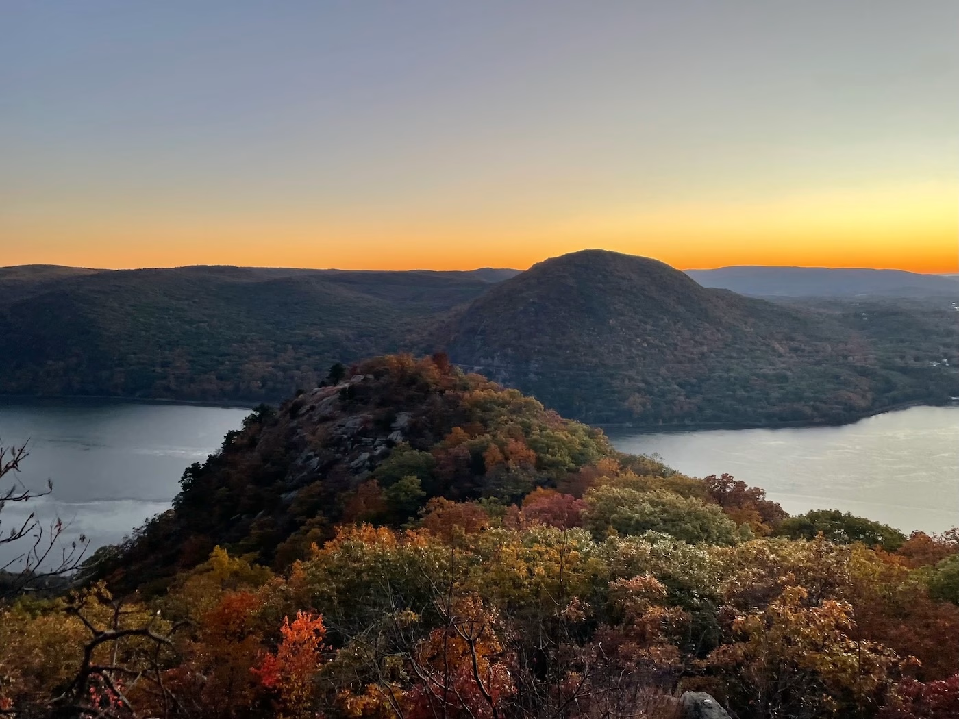
Headlamps guided our way across the notch between Breakneck Ridge and Bull Hill, as well as enabled us to hike up and over Bull Hill without incident. Once the steeper-than-expected decent of Bull Hill was complete, we decided to sprint the final leg of the journey both to make up time and because it just seemed like the right thing to do.
We were all smiles as we arrived back at the trailhead, completing a 21.8 mile journey that ended almost 12 hours after it started. The Hudson Highlands offer adventures that are hiding in plain sight. All it takes to find them is some imagination and creativity.
Amazing!