
Sunday before Memorial Day. The 400th consecutive cloudy day in the Adirondacks. At least it wasn’t raining. I paused construction on the ark for a trip to the happiest place on earth, Mount van Hoevenberg.
While I’ve put in my share of mileage on the Ho’s ski trails, the singletrack is a mystery. I think that most of these were originally snowshoe trails linking various ski trails. At some point, many of them were cleaned up and manicured for summer cycling.
Last summer, I had a day where I incorporated a bit of singletrack on the cross country side into my run.
I ran, perhaps 600 meters of singletrack, and came to an intersection of multiple ski trails. And though I’ve skied here since 1982, I didn’t have a clue where I was.
That was the genesis for the day’s adventure. I laced up my running shoes and set out down the Brookside trail, to the biathlon side of the trail system. Through the tunnel beneath the access road, up a short grunt, and down Thumb Hill. So named by a friend because in the late 1990s, I faceplanted and dislocated my left thumb here. With a half cast and against the recommendation of my doctor, I skied the Craftsbury Marathon the following week.
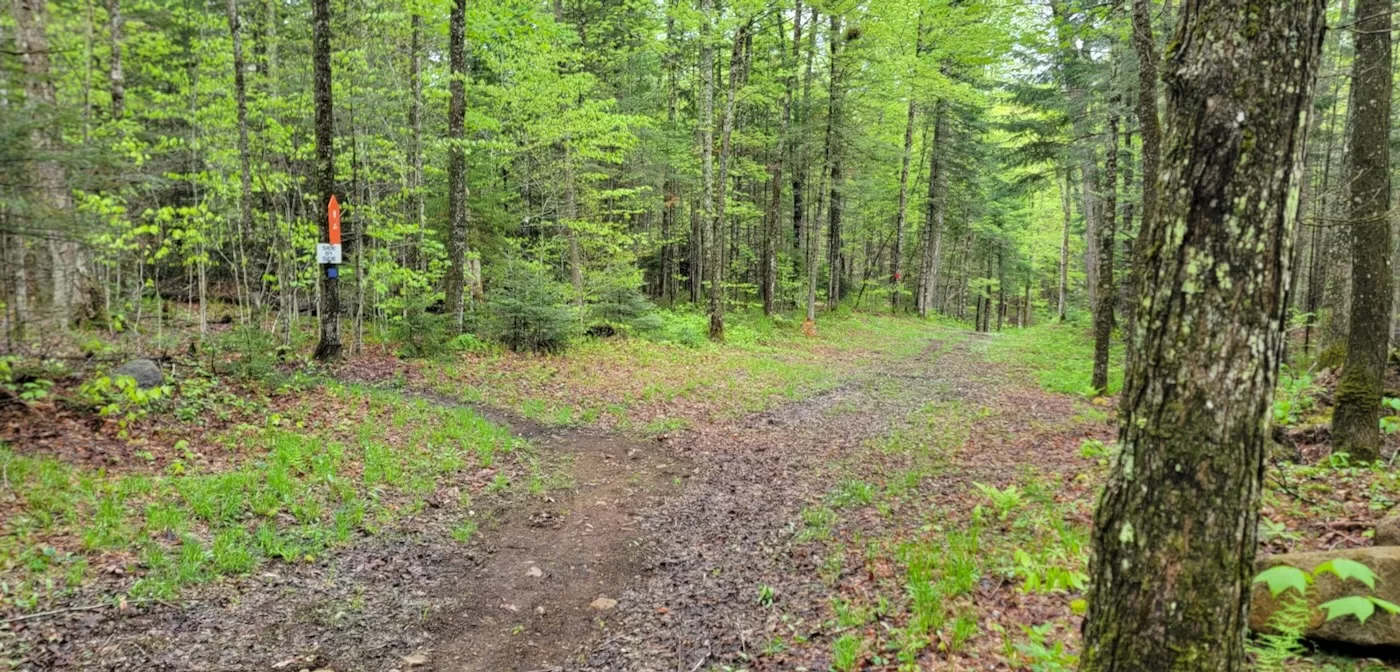
The Thumb outrun ends up at a major intersection. Bearing right, I went up the Three Trails Cutoff outrun and dove — if one can dive uphill — into the woods. Singletrack climbed steeply up to a plateau and leveled off. In some places, you’re parallel to a nearby ski trail; elsewhere, you’re in the middle of nowhere, and don’t try bushwhacking.
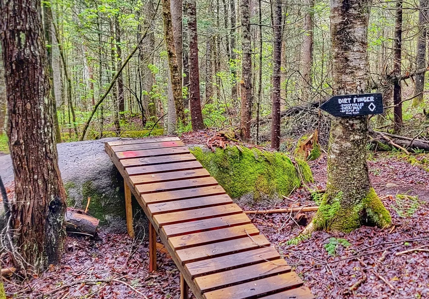
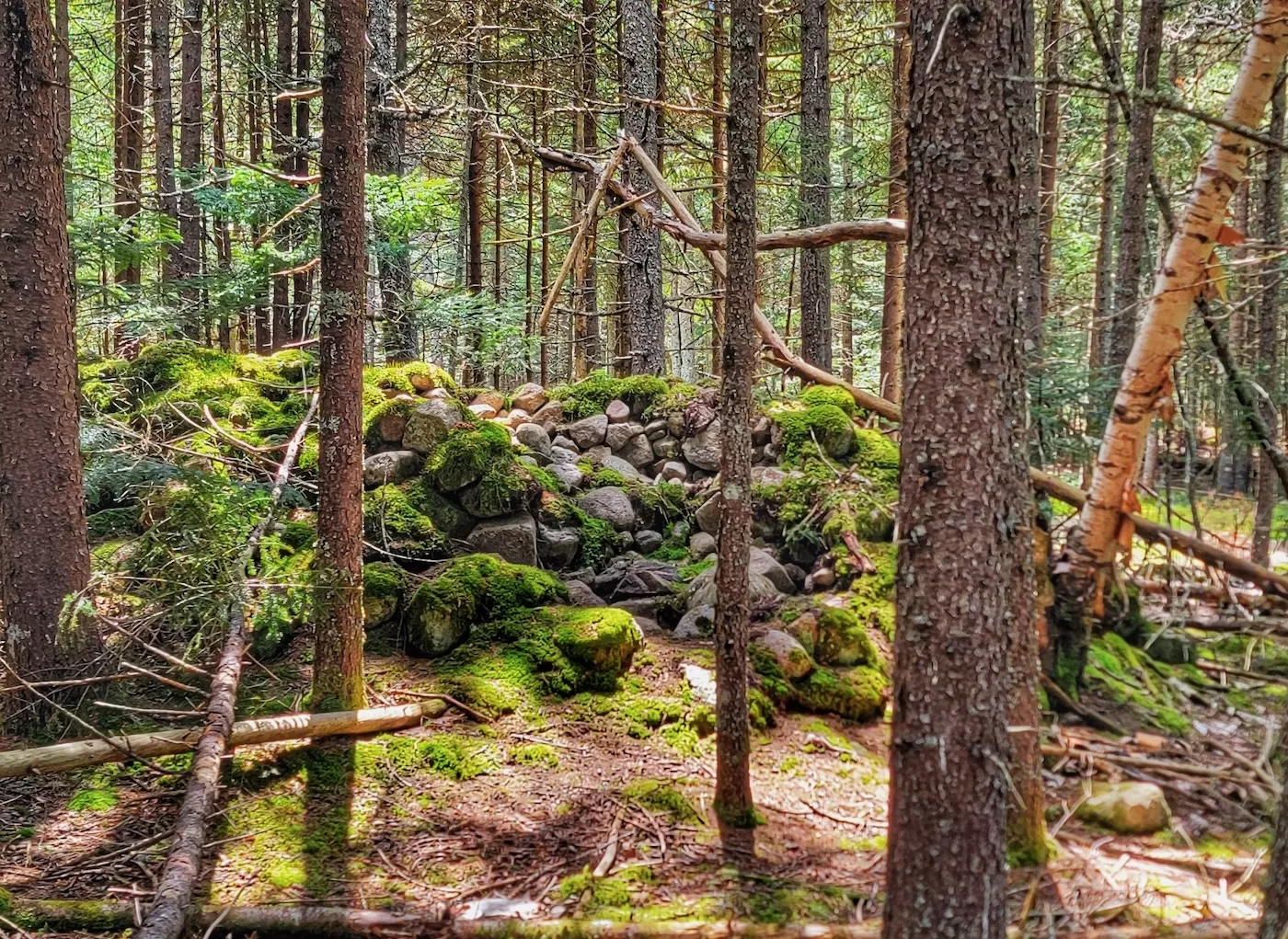
Here and there, ORDA has built some features for the adventurous. Ramps up and over boulders; a rock garden aptly named Dwayne Johnson. (If you want to actually huck boulders and get air, there are a couple in the Hardy Road trail system in Wilmington.)
With the biathlon side’s dense ski trail network, none of the singletrack is more than a few hundred meters long. You come out to a ski trail and take a guess which one it is. More singletrack, often with a new name, beckons on the other side. At the end of a couple miles, Death Valley dropped me into the pit behind the 1980 biathlon range. I climbed out of the pit picked my way down North Brook and Three Trails before heading back to my car.
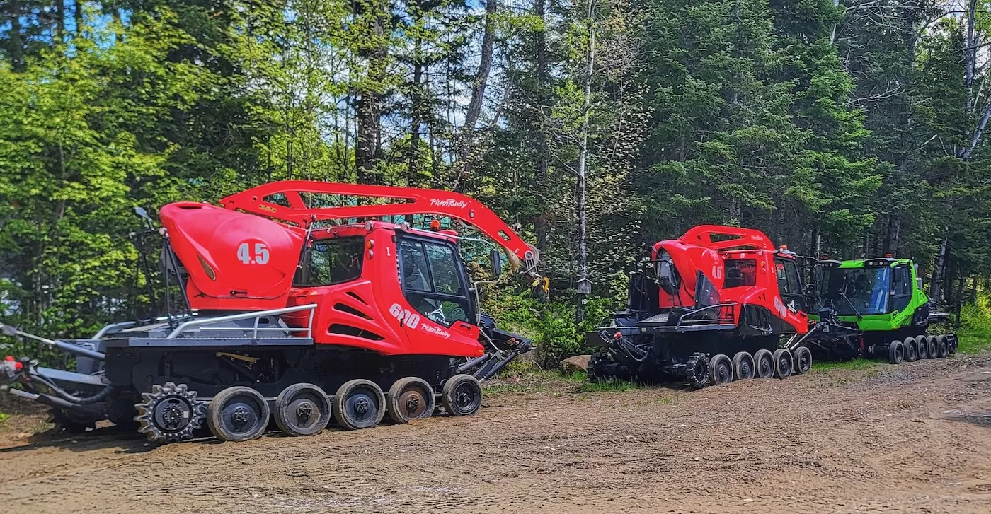
On Tuesday, the sun came out. After securing coffee and gas, I drove back to the Ho to check out the cross country side. First time this spring that I didn’t need a hat and a vest! From the 1980 cross country stadium, I ran down Flatlander Extension in the direction taken during the UCI 100 km mountain bike race last fall. A gaggle of PistenBullys hibernated by the pole barn. I went into the woods for a few hundred meters and came out by the footbridge over the access road. Turning right, I ran for a bit down the Spruce Ski Trail before cutting into the woods again.
Crossing the Campground trail, I found singletrack behind Josie’s Cabin. This segment had been used of the 100 km UCI race. At the far end, there was still a UCI marker indicating a left turn on to East Mountain. I ignored it and went into the woods on the other side.
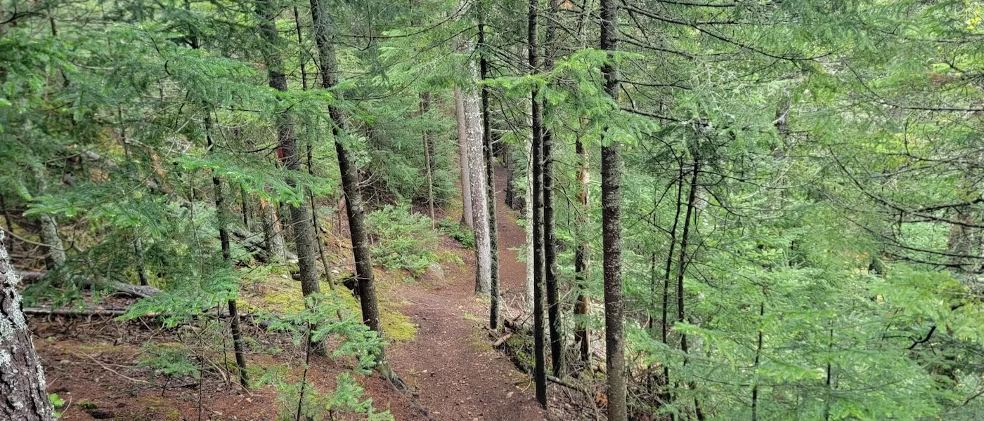
The map application that’s been beneficial elsewhere is, to put it politely, useless for the bike/snowshoe trails at the Ho. I just kept following my nose, and the singletrack wound uphill between the Innerloopen and East Mountain trails. A final pitch ended on Hi-Notch, just after the first big climb.
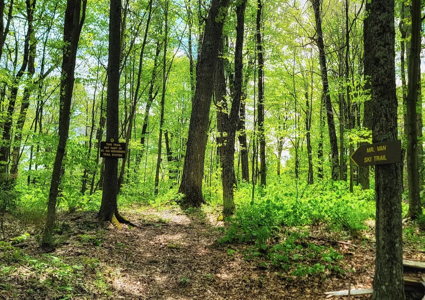
I ran down Hi-Notch, past what appears to be part of the new trail to Cascade Mountain, past the Mr. Van backcountry ski trail, and down towards the new World Cup loops. There was a snowshoe trail marker on a tree. The knees were hurting, but I thought, WTF, I’m out here, let’s push this out.
Unlike everything else I’d been on, this trail was in its, uh, original state. Strewn with rocks and dead leaves, I picked my way carefully uphill. My hunch that I’d end up at the top of the last climb on Ladies 5 was dashed as the trail veered left, away from the ski trails.
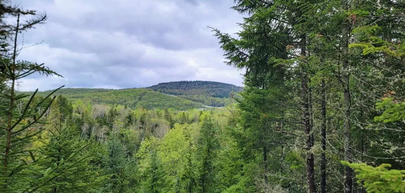
Well, shoot. I decided to give it 10 more minutes, and if I wasn’t getting anywhere, I’d retreat. The trail became difficult to follow. Clambering over blowdown, I saw a “No Bikes” DEC sign nailed to a tree. A few more vertical feet, and I arrived at the new trail leading to the summit of Mount van Hoevenberg.

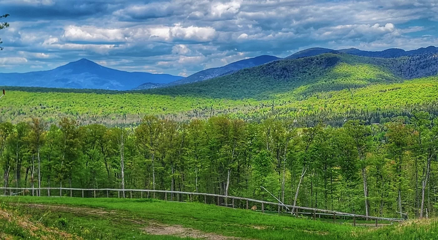
This trail runs from van Ho’s lodge a bit less than three km to the summit. It was built as a showcase for modern trail design which would both minimize erosion and enhance the hiker’s experience (i.e. being able to look at the scenery rather than the trail so you don’t trip over rocks and roots).
The opposite of many classic High Peaks trails, many of which were put in by 19th century guides. “We’ll just go straight up this drainage and turn right at this spruce tree.” The scuttlebutt is that this cost $1 million a mile to build.
I ran downhill on the van Ho trail to a short connector that got me back to the World Cup trails. Down to my car and sadly, tornare alla realtà, back to reality and quotidian chores.
Mount van Ho charges a fee to ride on their trails, which is waived for season pass holders. They rent bikes if you’re a newbie and want to check it out.
Fun stuff. Looks like an interesting zone up there
The ski trails look so different in the summer, don’t they? I’ve been meaning to check out the new trail with the modern ‘sustainable’ design. It could be used as a quick hike for views or for accessing the High Peaks for a longer one. Many of the old trails are steep and eroded which can be difficult and sometimes dangerous to navigate. This new type of construction is much more welcoming. Here in the Hudson Highlands, they have used the same techniques in the badly abused area of Breakneck Ridge. It is an effective remedy and a pleasure to walk, making it a most wonderful addition. Thank you to the trail builders and thank you Peter for your reports from the North Country.
No need for sun on those trails. Great pictures.