Powder skiing in New York came to an abrupt halt in early March. Without a season saving storm in sight, the mountains have been losing snowpack. Even at higher elevations, temperatures above freezing during the day and below freezing overnight, brought on an early spring.
Spring isn’t bad. Longer days, light crowds and of course, t-shirt weather. Corn snow is a blast when time and temperature align. Early in the day, it can be a nightmare of frozen crud, and in the afternoon it can become mashed mush. Combine all of it together, and you have a springtime backcountry tour in the High Peaks.
The High Peaks didn’t have powder, but they had snow, and lots of it. This winter was filled with storms and wind. Some spots became wind-scoured ice sheets while others were the most filled-in we’ve ever seen. Algonquin’s popular Northeast Bowl was so fat that you could ski out the bottom through the drainage back to Marcy Dam. In addition, while many of the slides on Colden didn’t hold snow very well due to the aforementioned wind, the normally tree-filled summit was no more but a white landscape before the thaw, with even a well-known 20 foot rock being completely covered.
The highest mountain in New York had to have held onto its snowpack throughout the warm spell, so last weekend six of us toured Mount Marcy (5,343’) in hopes of finding lots of corn, sun, and plenty of soft skiing.
We began our tour at 7:30am leaving from the Loj trailhead, towards Marcy Dam. The forecast called for temperatures in the 50s in the valleys with wind chills in the 30s on the summits. The sun was shining and there were plenty of other hikers and skiers heading out to find adventure.
Accompanying me for the tour was my brother Bailey, our friend Jack, a newly acquired backcountry partner Chuck, Isak and his splitboarder pal John. Together the six of us made our way towards the dam at a steady pace in anticipation of the day ahead. The trail there was covered in packed snow without exposed rocks, along the entire route.
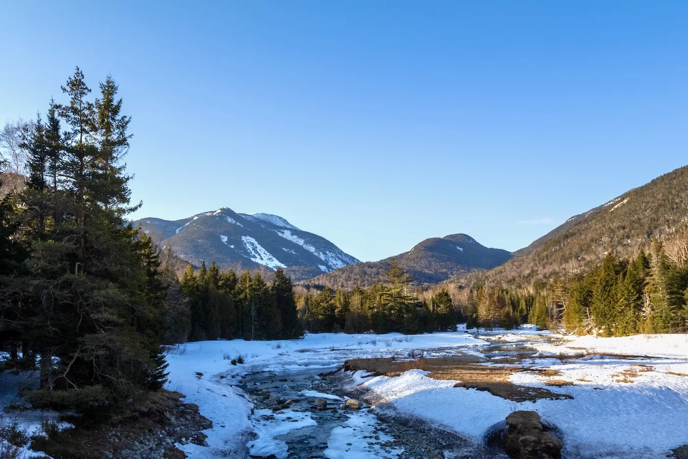
Within 50 minutes, we had made it to Marcy Dam, a short and popular hike for those heading to Marcy, Colden, Phelps and Tabletop. It also the easiest route to the infamous Avalanche Lake. Marcy Brook was unfrozen and flowing; we had to cross a bridge a short ways from the dam. The dam is dilapidated, destroyed during Tropical Storm Irene in 2011.
As we took a short water break, I looked up at the ominous Angel Slides that flank the shoulder of Wright Peak, a recurring location for avalanches in years past. Although a popular backcountry ski, they are steep, wide, and only to be attempted with those who are properly trained in avalanche awareness and education.
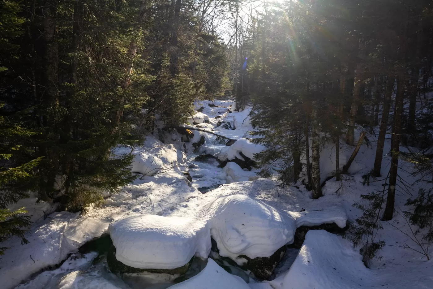
I ditched my jacket, donning only a t-shirt, as we headed left towards Marcy on the Van Hoevenberg Trail. This section of the tour is very easy, winding through a low-angled conifer forest until we met the Phelps Brook crossing about .3 miles from the dam. In the summer, it’s a rock hop to get across without soaking yourself, but now there was enough of an ice bridge to allow us to cross. Water was flowing around the rocks beneath us, so we still had to be careful.
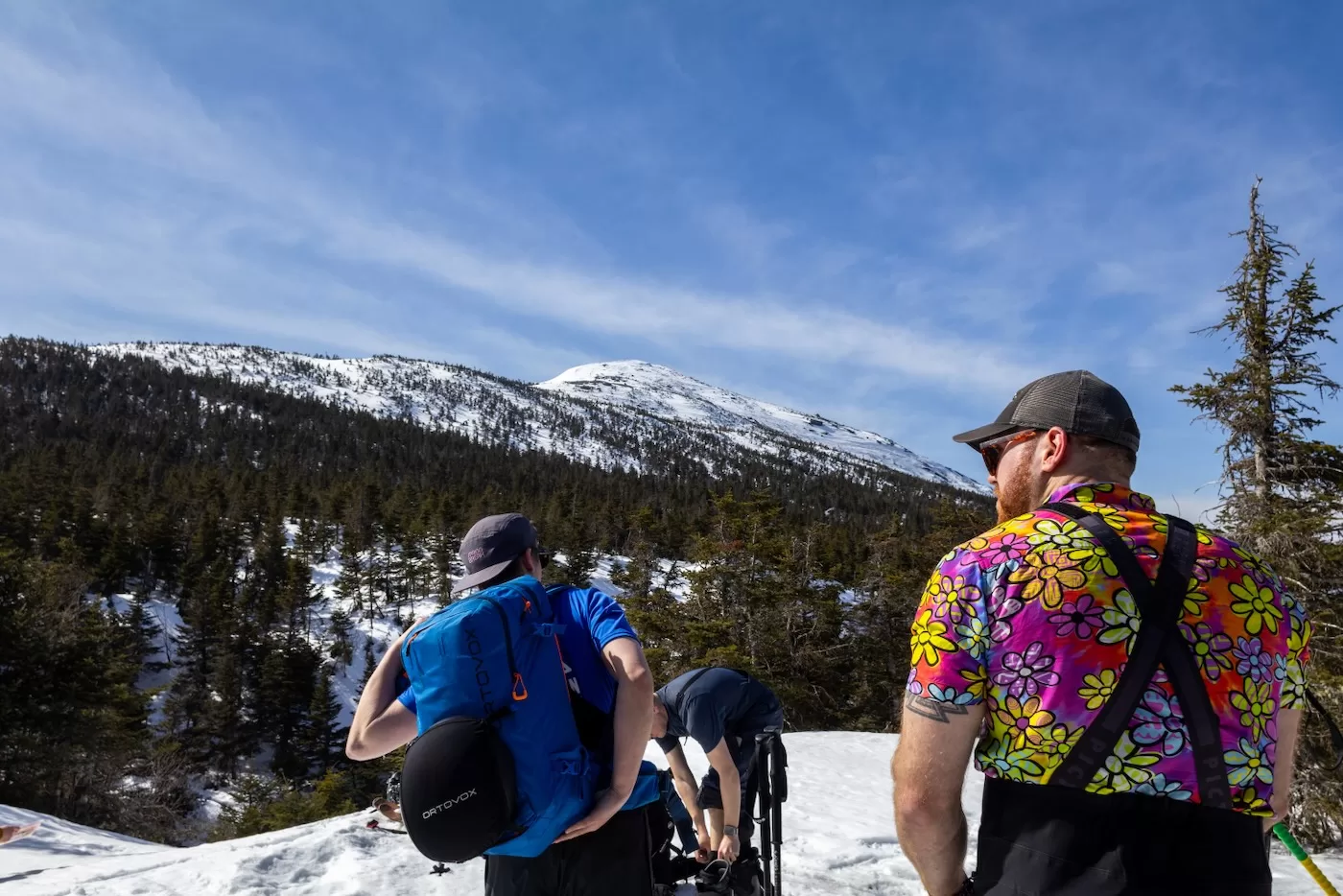
After a leisurely mile of skinning, we made it to another crossing of the brook at 9:20. This time we crossed on a wooden bridge that looked like it had been recently renovated. There was at least 2-3 feet of snow still on the bridge, a good sign that the snowpack was growing as we gained elevation. The trail begins to increase its grade right after the bridge, so we put up our heel risers and pushed on. Thankfully, there’s a separate trail made for skiers to climb and descend, and we opted to follow it. This kept us on a somewhat straight and moderately graded path with some mellow turns here and there, much like the ski trail on Wright. It would be a fun descent on the return trip.
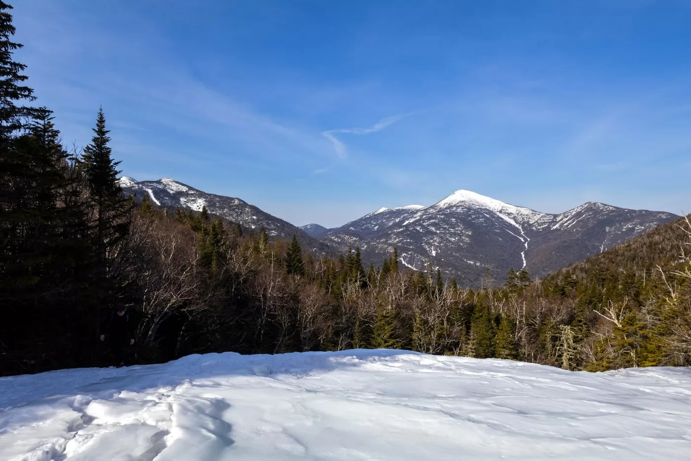
The hiking trail dumped us out onto Indian Falls, which, to our surprise, was completely frozen over. Indian Falls serves as a nice break spot as well as a viewpoint for the MacIntyre Range. In the distance, Algonquin’s Northeast Bowl towers over Wright and its neighboring peaks. To our left appeared to be Colden’s summit with the top of The Couloir in view, a narrow slide that snakes back and forth, even resembling a ski trail from a distance. It was 10am and we were just over 4 miles into our journey, so we took a long break and admired the view before us.
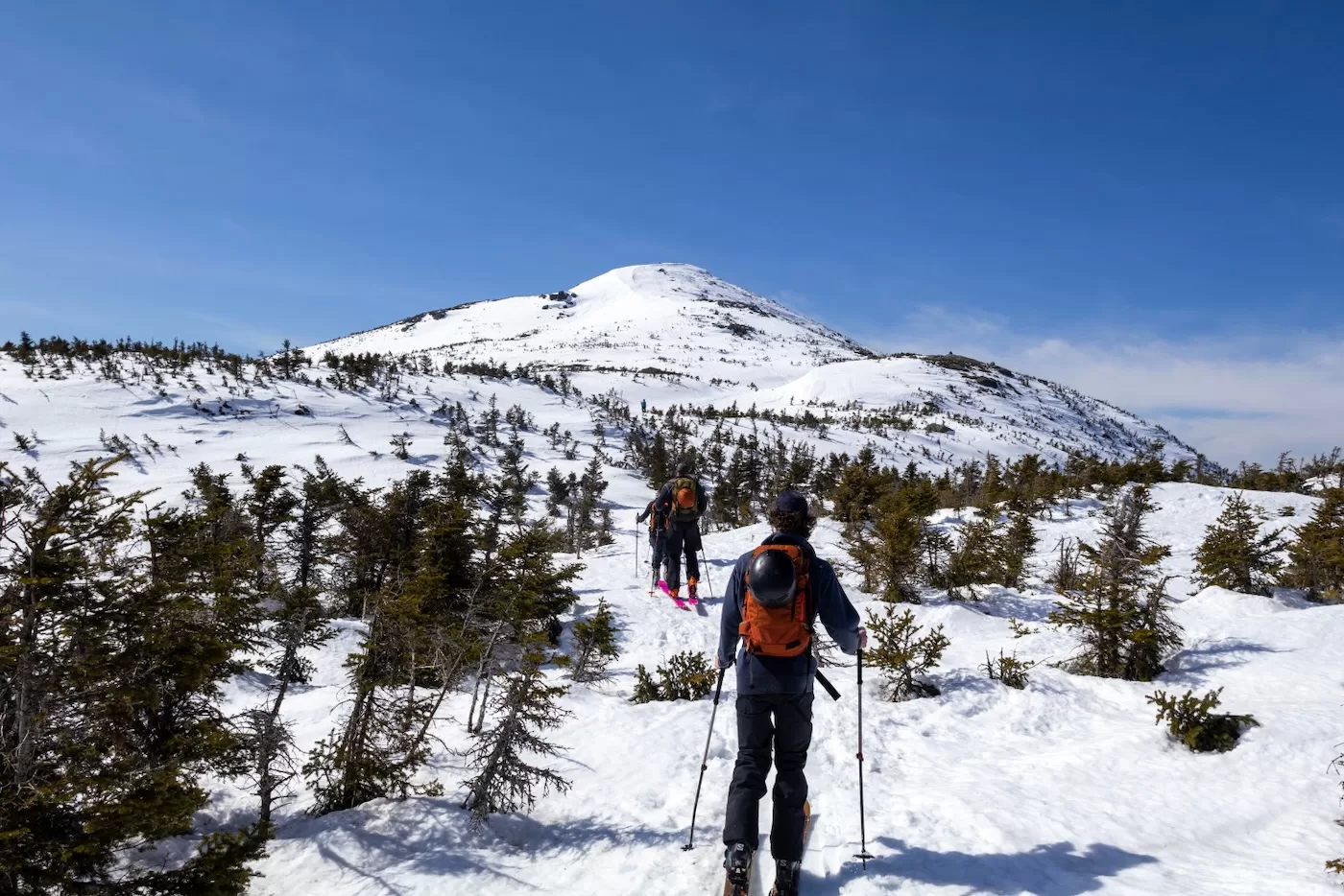
Even at 3600’ elevation, the sun’s rays were keeping us warm enough that we were wearing shirts and hats. As we made our way further up the trail, the summit would peak through the trees here and there. Eventually we rested, not too far from our destination, with a grand view of the summit cone of Marcy. We began to discuss what we wanted to ski after we summited. Marcy holds snow on all sides and resembles a giant ice cream cone, allowing skiers to descend whichever direction they choose. Some lines, like the Ski Bowl on the East flank, are more open than others. This was to be our first line of descent as the rest would be decided later, depending on our energy and time.
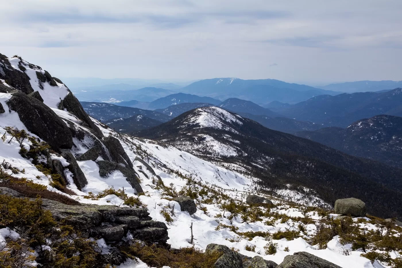
We started our final push to the summit. It wasn’t long before we reached the alpine zone where the cripplebrush poked through the surface of the snow. There were other groups ahead of us, snowshoers looking to earn their winter summit I assume. The Ski Bowl now directly to our left, looked like a giant wave of white where the winds deposit much of the snow that falls on the summit. In fact, in most years The Bowl can hold snow into June or even into July, a rare treat for those ambitious enough to hike 7 miles with a heavy pack to earn a couple turns! It was covered with some ski tracks which headed down towards Panther Gorge, a remote landscape between Marcy and Haystack.
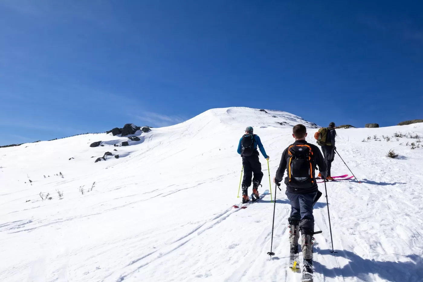
Above The Bowl, it was scoured of snow and consisted mostly of rock and ice, so we took off the skis to walk the last 100 feet to the true summit. This last stretch was incredibly tough: the wind was blowing over 50 mph with gusts I’d estimate reaching into the 70’s. It was the windiest environment I have ever been in; if you didn’t lean into it you’d be pushed back or lose your balance on the ice. The skis we were carrying acted like sails. We must have looked ridiculous to those out of the wind, as if we were just learning how to walk.
After 5 hours and 7+ miles, we made it to the summit as we threw down our skis and packs to shed wind resistance. Trying to hold onto food and zip on jackets was a chore but likely comical to watch as we all struggled. A couple of us even climbed onto the top of the summit rock where the sign lay, which was so windy that from below the ruffling of one’s jacket sounded like an airplane taking off. The wind forced my brother and I to our hands and knees at one point, the only way to avoid getting blown off the rock. By this point, we had on our full winter attire of gloves, hats, goggles, jackets, and balaclavas. It was 60 in Lake Placid, it was a windchill in the 20’s on top of Marcy.
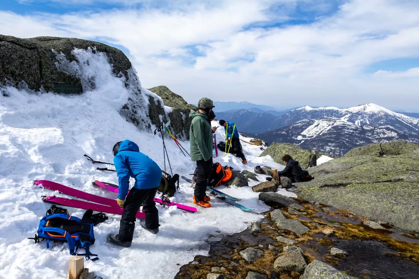
We didn’t want to spend too much time exposed. After some refueling we transitioned into downhill mode and made our way back to the top of The Bowl. Our plan was to ski down and follow the previous ski tracks down towards Panther Gorge until the trees became too thick, then skin back up.
I could tell that the snow wasn’t quite what I had hoped for. By this time, it was after 1pm and the sun had baked the surface all morning and the snow had a weird consistency that made it difficult to turn.
I made my way down the side to set up for some shots of the others coming down. I didn’t probe the snow depth, I wouldn’t doubt that the deepest part of the bowl held well over 20 feet since the other summits we’d seen this season had similar depths. Once I gave the go ahead, my brother dropped in first, followed by the rest one at a time.
We were never worried about a slide since the snow was almost too compacted, but always better to err on the side of caution. After skied down and out of sight, I walkie’d that I was dropping in. Just like the snow above, the snow in the line was tough to ski. It felt like I had no wax on my skis forcing me into the backseat.
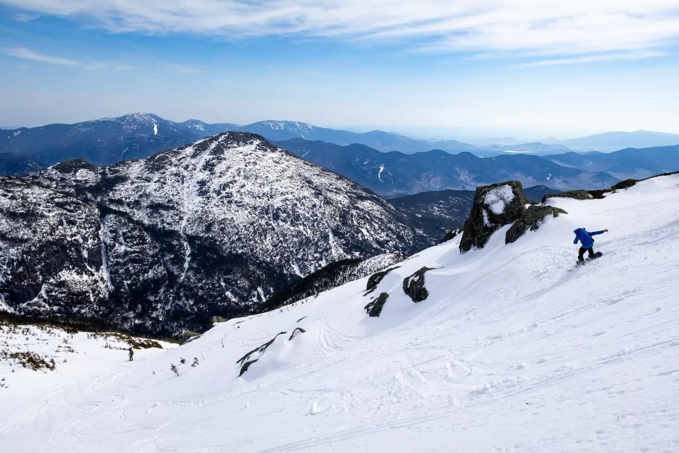
I descended a couple hundred feet. Plunging down towards Panther Gorge was harrowing as I could not see the bottom, and we didn’t want to go too far so we’d have to skin up a long way back. I met up with the others, who were already getting ready to climb, donning skins and removing layers. There was almost no wind within the trees and the sun was beating down on us, so I began to sweat very quickly and stripped down to a t-shirt again.
Haystack (4,960’) — the third tallest High Peak in NY — loomed in the distance across the gorge, looking like a New Hampshire mountain with its rocky faces and expansive alpine zone. In a future season, if I started early enough, with enough food, I plan on skiing all the way down to the bottom, but for now it was time for us to begin our final ascent.
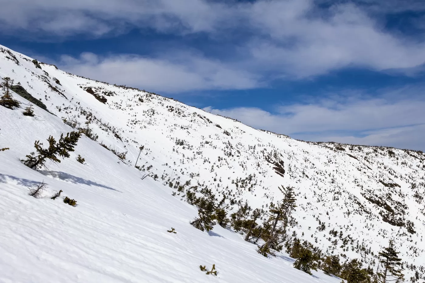
After 20 minutes of skinning between short spruce trees along an open ridge, we made it back to the top. It was 2 pm and we were all feeling a bit winded, but we opted to check out one more line on the north side collectively called “Pipeline.” As we reached a ridge and peered over, the line we assumed was the one we were looking for was thinly filled with snow and many trees were poking out, which would have been pointless to attempt to ski. We all agreed it was best to head back to the trail while our legs were still somewhat good to go.
We still had a long ski down ahead of us, so we quickly made our way down the same trail we toured up that morning, hooting and hollering as we raced down the spruce forest, passing many hikers on the way. There were a couple short sections that went uphill so we had to sidestep and push ourselves forward, with one section requiring us to take our skis off and walk with them for a couple minutes before reaching Indian Falls. Just past the falls was the start of the ski trail on the right. I made it first and waited for the rest to catch up. 45 minutes had passed since the beginning of our descent; that same stretch of trail took us almost 3 hours to tour up.
The best part was just ahead: the winding section of trail made just for downhill skiers. Once the others caught up, we were off, down the trail, making the best turns of the day on the soft responsive snow. Soon after we skied over the wooden bridge and made a hard left down the trail, which flattened a bit but still kept us going at a decent speed.
I noticed some rocks were now poking through the snow that were not there in the morning, so a couple times I would have to make a quick turn or lift up one ski to avoid them. After another few minutes, we arrived at the first water crossing of Phelps Brook. Instead of a floor of ice, there was now a thin ice bridge with rocks poking out on either side that forced me to squeeze my skis together as close as I could to be able to make it across.
With the sketchy part out of the way, the rest of the trail was a leisurely descent back to Marcy Dam. We arrived at 4 pm, covering 4.5 miles of trail in an hour. We only stopped to catch a breath and give our legs a break, we still had left 2 miles left to skin. Taking our time, we arrived at the Loj at 5 pm, making our excursion a little over 9 hours and 15 miles long. The temperature back in the parking lot was sweltering compared to the summit, and the previously icy ground was now a mud pit.
We said our goodbyes and planned to tour again before the season’s over. The classic springtime tour up Marcy lived up to its hype and was well worth the effort to get up and out there. When June comes along, we’ll see if I’ll have the same thoughts!

A magnificent adventure. Thanks for sharing.
Excellent account. I’ve been looking forward to this ever since we talked about it. Those pics came out awesome too.
Great report, thanks for sharing your adventure.
Great story and fotos. More please.
Terrific, Thanks so much for sharing this. Way to get after it.
Awesome adventure and the pictures are fantastic.
Heck Yeah!
Wonderful – thanks for sharing the details of your day.
Wow, just wow! That’s some adventure. Great photos – it’s so cool to see that terrain. Thanks for taking us along.