Your mission, Jim, should you decide to accept it, is to get your a$$ up one of the 46 High Peaks before summer is out. If you fail, readers will deny any knowledge of your existence. This tape will self destruct in 30 seconds.
Eight months into my new life in Saranac Lake, I had yet to get out on one of the Adirondack 4000. I’ve been on all of them, some of them multiple times, but most of that was a long time ago.
Sunday had a sketchy forecast. Monday would be better, but my child would be driving up on Monday to spend the month with me, so Monday was out. Eeny, meeny, miney, mo. After looking at my options, Phelps Mountain came out on top.
Sunday morning, I rolled outta bed later than I would have liked. Ziggy and I got breakfast; then I got ready. Although I was proud of myself for motivating a little earlier than usual, I still didn’t arrive at Adirondak Loj until 10:30 or so. I need to work on my alpine starts.
Before you @ me about the spelling of Adirondak Loj, allow me to mention Melvil Dewey. Born in 1851, he was interested in education reform. He developed the Dewey decimal system, so vital in libraries before the advent of Google. He also became a champion of what he called simplified spelling. He was a co-founder of the Lake Placid Club. Although I’m unsure how much time he spent in Lake Placid, his simplified spelling concept gained some traction here.
As I walked to the trail head, a kind of junior ranger — young guy, uniform but no badge or firearm — stopped me. We discussed my destination, and he recommended that I take the high water route because of the recent rain. I thanked him and set out.
Phelps Mountain is named for Orson “Old Mountain” Phelps, a Vermonter who settled in Keene Valley. He’s credited with cutting the first trail up Mount Marcy in 1861, and the trail up Giant of the Valley in 1866. He guided many clients up Mount Marcy and named many Adirondack features. It’s unknown whether he summited his eponymous peak.
Leaving Adirondak Loj, the first couple miles of trail is a veritable Thruway. A main access route to the High Peaks, it’s wide, and much of it is runnable. A mile in, I hung a left towards what used to be Marcy Dam. There had been a dam there for decades — a wonderful, bucolic spot.
Hurricane Irene destroyed the dam; Phelps Brook rushes downhill there. Apparently, as the dam was a human-constructed object, the DEC decided not to rebuild it.
I followed the trail to a bridge downstream over Phelps Brook that connected with the truck trail from South Meadow. A sign pointed towards the high water route, but it was north, out of my way. I decided to go direct instead.
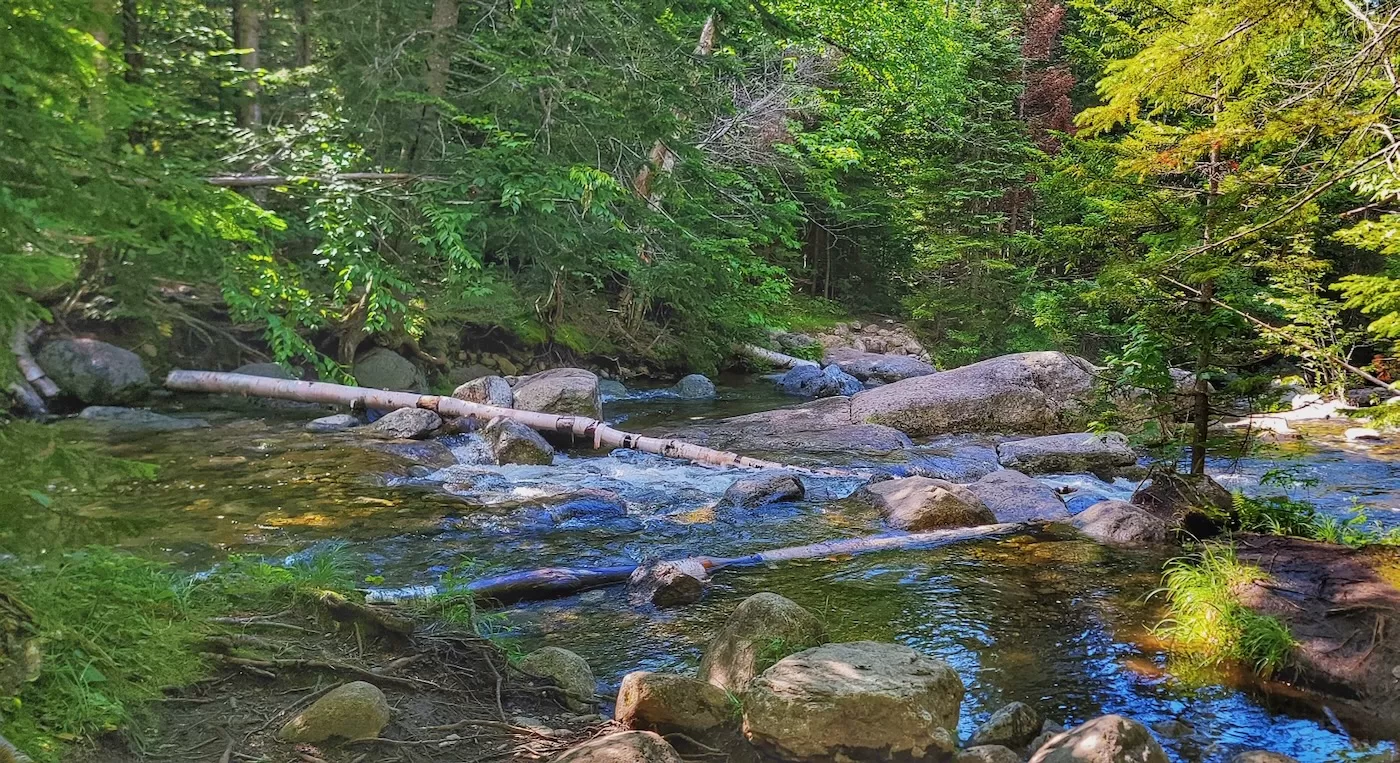
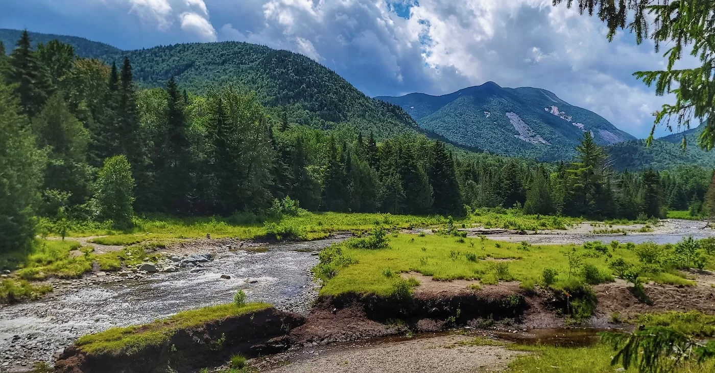
Up the Van Hoevenberg trail, past the caretaker’s cabin and multiple campsites. Up the way, the trail crossed Phelps Brook. With the recent rain, the brook ran fast and high. Not high enough to be dangerous, but feet would definitely be wet.
Looking for a magic solution to avoid wet feet, I blundered up a herd path on one side of the brook. After a few hundred yards, I slipped and fell into a mud puddle, damn well immersing myself. So much for that option. I returned to the crossing and bit the bullet. At least my boots were clean, even if the rest of me wasn’t.
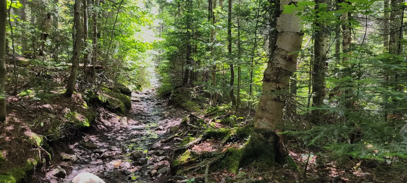
Continuing, the trail became rockier, and I finally reached the junction with the Phelps Trail. Up until now, the elevation gain had been gradual. The guidebook calls it a moderate climb with some tougher spots. It’s easier then Mount Colden, but being of uh, a certain age, I’m not sure I’d call it moderate. For most of that last mile, water ran down the trail, feeding multiple streams that ran into Phelps Brook. No worries, my feet were already wet.
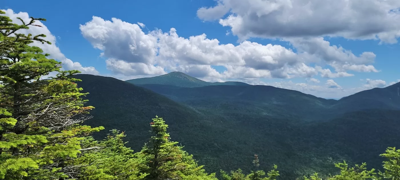
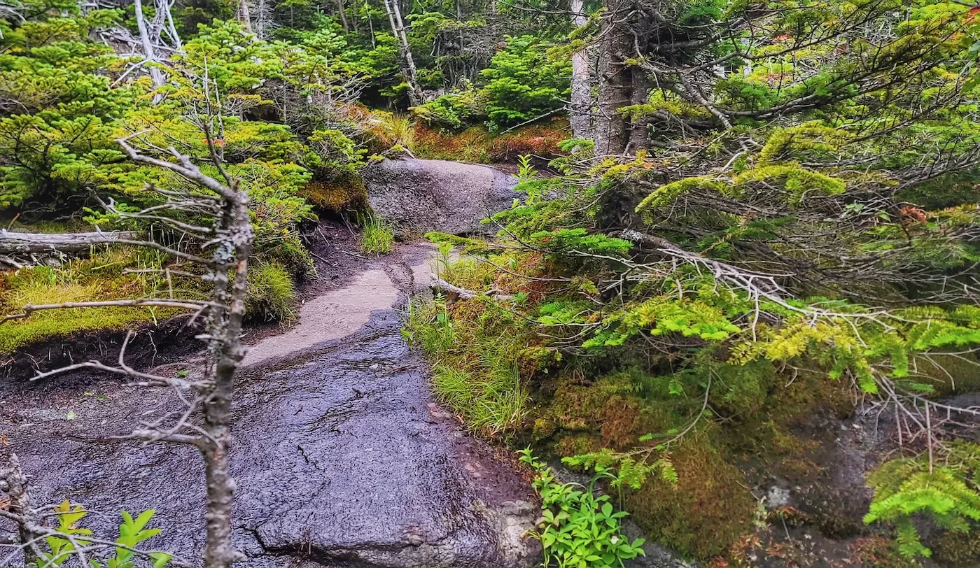
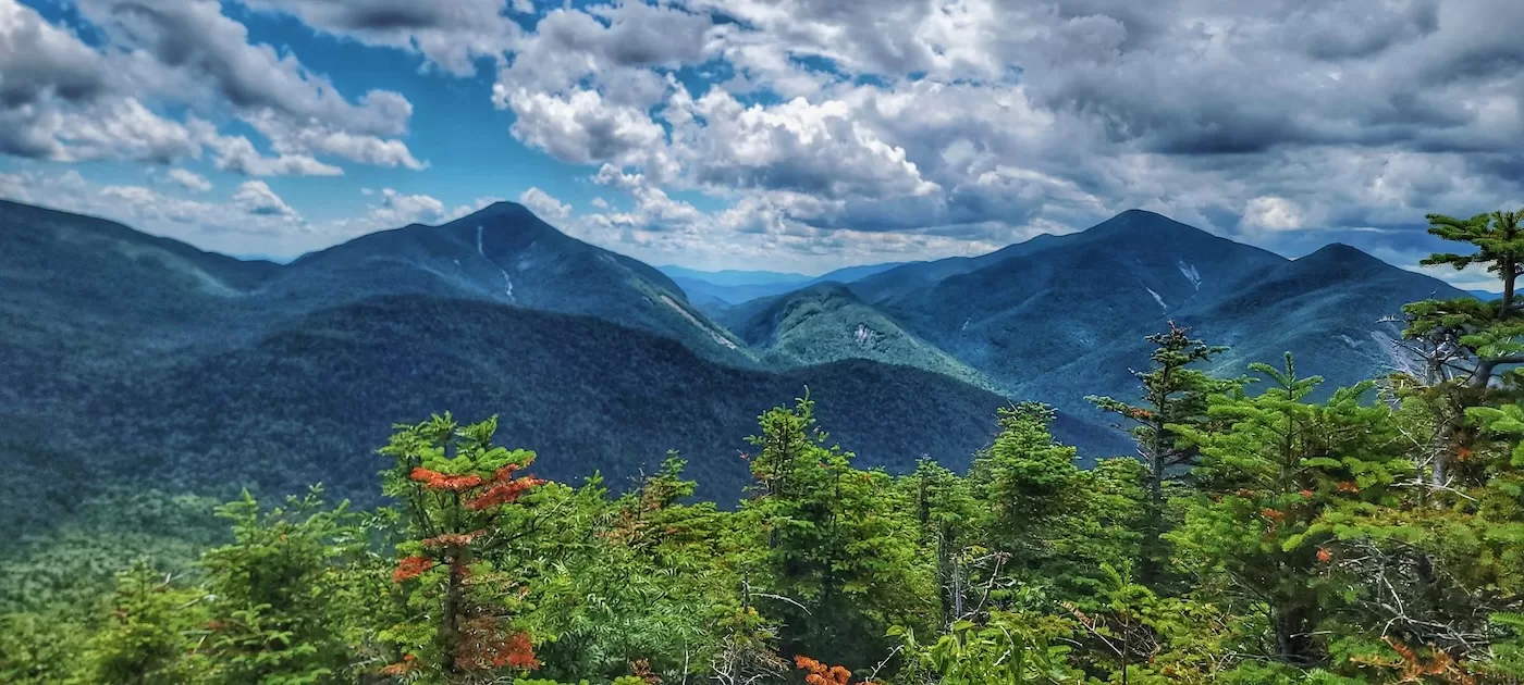
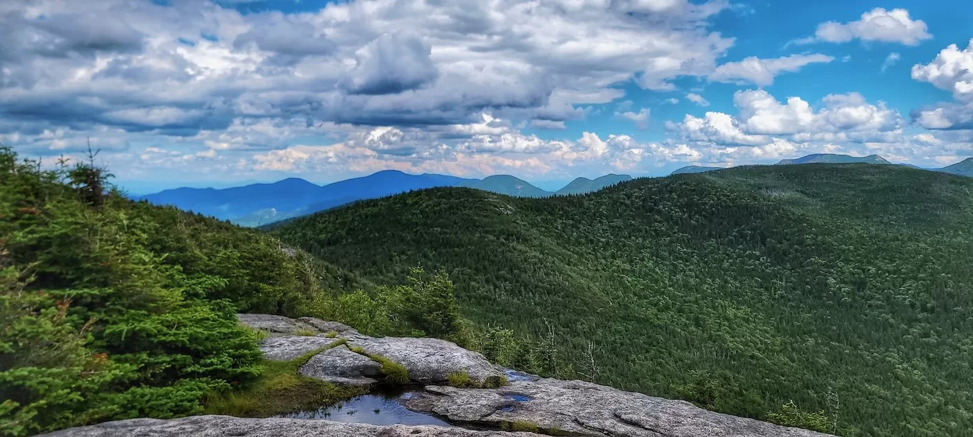
The trees got shorter. Muddy trails turned to rock, and I was on the wooded summit. The trail wended to an open ledge with jaw-dropping views of the MacIntyre range.
I haven’t been out in the High Peaks much in the last 10 years. Lately, I’ve lamented my inability to identify many of them when I’m driving on Route 73. But DAMN, from that ledge, they call came back like I’d been there yesterday. Haystack, Marcy, Colden. Algonquin, with Wright in the foreground. In all their majesty, one of the best views in the High Peaks.
The last time I’d been on Phelps, I shared that ledge with a bunch of boy scouts enjoying Cheez Whiz straight from the can. Today, I shared it with a newly engaged couple. They asked me to point out Mount Marcy and take their photo, and I was happy to oblige.
After lunch and swapping out my wet socks for dry ones, I started down. Although Phelps doesn’t have as many rock ledges as some other peaks, getting down was still a process. An hour up the last mile; a little over an hour to get back down to the Van Hoevenberg Trail. That’s my new normal. At 3 PM, I was surprised to still see people working their way up the last push to the summit.
At the Phelps Brook crossing, I chose the high water route rather than wet feet. Whether it was the better alternative is debatable. In addition to being the longer way around, there was plenty of mud and one sketchy stream crossing. But I’d never been on this trail, so that was cool.
Over five hours in, I still had enough gas to run non technical sections of the last two miles back to the Loj. I dropped my pack at my car and, wrecked, hobbled across the parking lot to the Hungry Hiker, a fast food joint operated operated by the Adirondack Mountain Club. Fiddlehead IPA was a justly earned reward for a good day.
The only downer of the trip was nearly getting hit by people exiting the Loj parking lot. Twice. It’s like their mindset spins from being in the woods to, it’s 6PM and I have to drive 250 miles and be at work tomorrow morning. Pedestrians are invisible in broad daylight. Not cool.
Well, you can’t fix stupid. And the weather had cleared up into a fine afternoon. After enjoying my brew, I got in the Fortunate Son and drove home to a waiting cat and my own meal. This blog will self destruct in 30 seconds.

Boooommm..
I really enjoy your posts. Some of them bring back memories. I went to SUNY Postdam, enjoyed Saranac Lake and the North Country, skied Whiteface often. But the go to was Big Tupper because back in the 90s as a student it was almost free to ski there.
Loj?
One of my favorite views in the Daks
It all comes back, Peter. Remember the Blistermasters?
Awsum adventer Peter. The hi water rut is ther for a resin tho.
Yes, Loj. So it goes…Thanks P. When you are ready for the Case route on Wallface, pm me.
Phelps was my very first foray into Adirondack hiking with an undergrad outdoors club. Quite the eye opener compared to the Catskills!
We had a stunning, blue sky, mid September fall day along with a healthy dose of early fall color.
I still remember the stunning view from the summit and the odd West coast guy in our group complaining the Adirondacks were nothing compared to the Sierra……To give him credit, he carried a half gallon of vanilla ice cream to the summit, it didn’t liquefy due to the cool temps that day. He proceeded to consume it for lunch and then napped until our group roused him for the descent. Such is the life of an engineering student decades ago.
Pete, many thanks for jogging my recollection of a first Adirondack ascent. By the way, having hiked several 14’ers in the Sierra, the Adirondacks still rank higher in my heart. Each range is great in its own way. And, I’m fine with “Adirondack Loj”. It has an historic provenance.