Blog » US Ski Weather
US National Weather Service data as a body of work is art. No other country compiles and provides this depth of weather information.
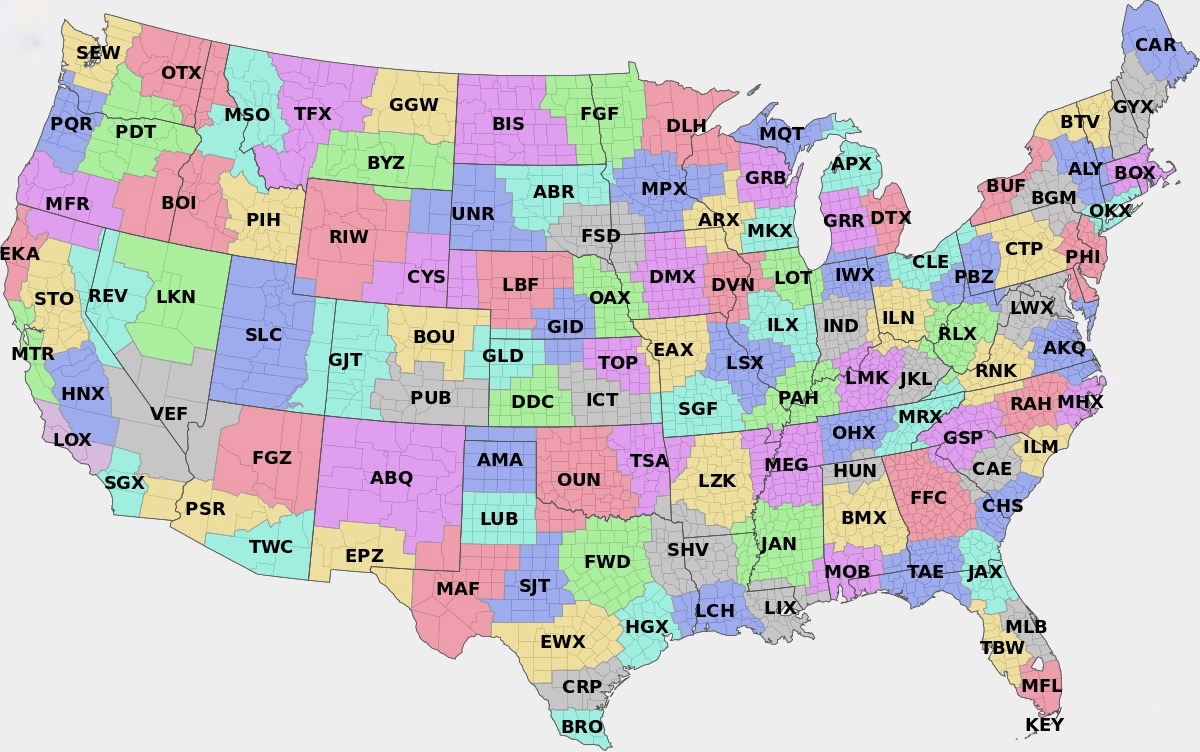
The NWS has segmented the entire US into 122 offices that you can drill down into and mine for specific weather information. It’s gold if you’re chasing snow.
We’ve added this national weather page to give skiers a quick look at where the action is, across the continental US. Images and maps are primarily national. With our outbound links, for now, we’ll focus on New York, ALY, the East, Quebec, Colorado, Utah and the Pacific Northwest.
Check out the 24 Hour, 48 Hour, 60 Hour and 84 Hour NAM snowfall forecasts.
Other changes:
- Our New York page is designed as a starting point for those who want to ski in the state.
- The Albany page will now be more strictly dedicated to Albany CWA.
- Quebec, Ontario, Gaspe, NH/Maine, and Mt Washington pages have also been added.
Short Term Temps, Rain and Snowfall
 |
 |
| Next High Temperature |
Next Low Temperature |
 |
 |
 |
 |
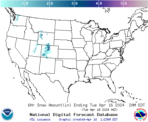
| 06 Hour Snowfall |
12 Hour Snowfall |
18 Hour Snowfall |
24 Hour Snowfall |
120 Hour Weather Forecast
 |
 |
 |
 |
 |
 |
| 12 hr |
24 hr |
48 hr |
72 hr |
96 hr |
120 hr |
 |
 |
 |
| 024 Hr Precip Forecast |
072 Hr Precip Forecast |
120 Hr Precip Forecast |
Medium Range Forecast Maps
 |
 |
| 6-10 Day Temp Forecast |
8-14 Day Temp Forecast |
 |
 |
| 6-10 Day Temp Forecast |
8-14 Day Precip Forecast |
Long Range Forecast Maps
 |
 |
 |
 |
| 1 Month Temp |
3 Month Temp |
1 Month Precip |
3 Month Precip |
If you’re like us — and just the fact that you made it to the bottom of this page proves something — you’re craving ski weather forecasts, maps and information. NYSkiBlog Weather Center has the basics every eastern skier/adventurer needs from the National Weather Service, Environment Canada and other sources.
We’ve included point forecast maps, radar and short and medium-term temperature, snowfall and precipitation forecasts. We’ve also included links to webcams and ski reports from across New York, and all of ski country. And we’ve linked the in-depth forecast discuss for the most important NWS offices directly below.
We want these pages to be a go-to source for ski weather info for NY skiers. If you’ve got ideas about how to make our this page more valuable, post your ideas here on the blog, or in the Weather Forum or email us. Note: Small maps click to enlarge.


