You are using an out of date browser. It may not display this or other websites correctly.
You should upgrade or use an alternative browser.
You should upgrade or use an alternative browser.
Winter Weather 22/23
- Thread starter jasonwx
- Start date
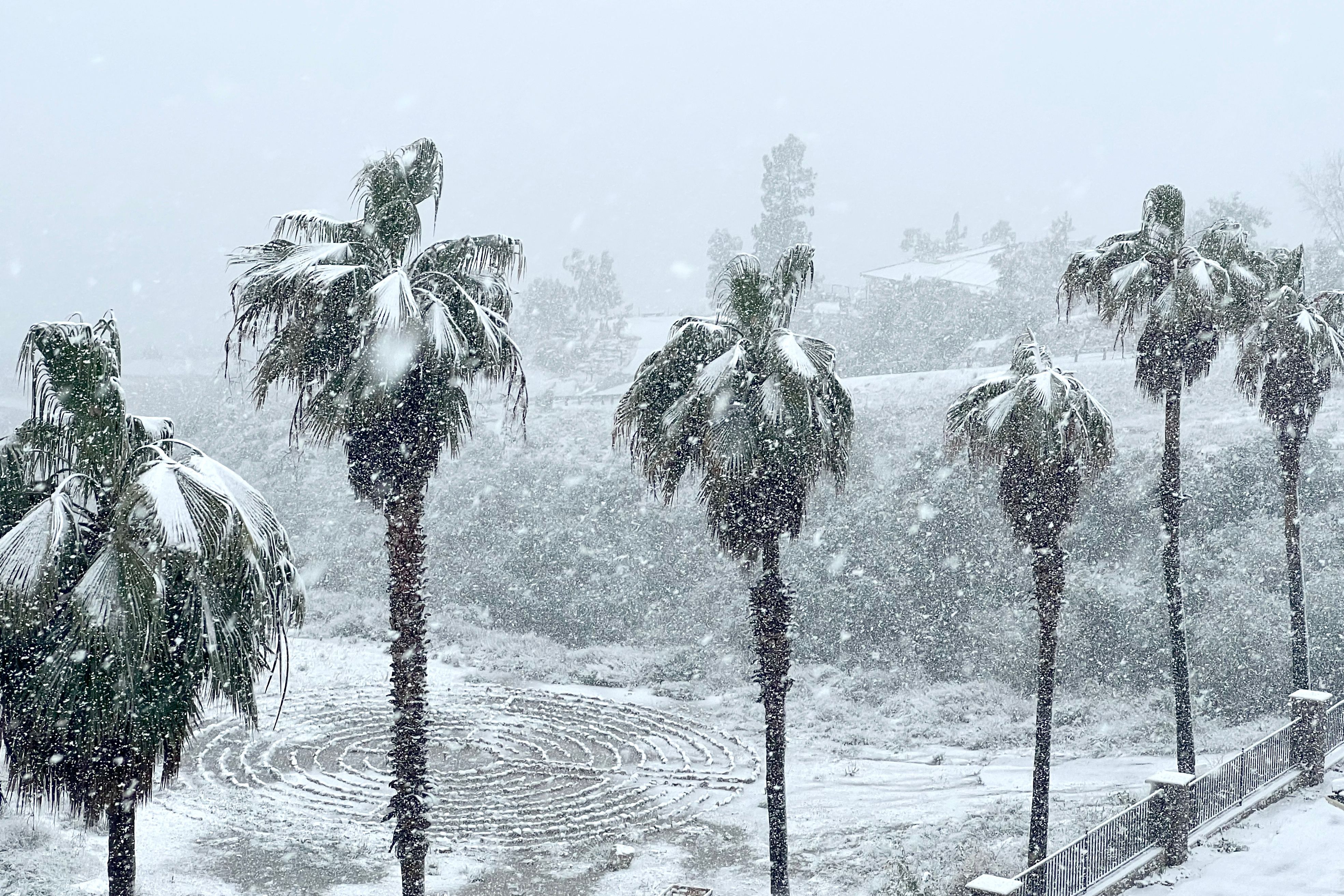
Folks might want to put some of California reservoir releases into the ground water outwest.

 www.newsweek.com

California reservoir water levels before and after winter storm
"I think we can safely say we are in very good shape compared to last year," Jeff Mount, from the Public Policy Institute of California, told Newsweek.
Temp6
Well-known member
- Joined
- Aug 6, 2020
Euro and gfs still on board with elevation dependent flakes though. HRR also shows the heavy mixing well north. Guess it’s still a gamble for platt but I’m rolling the dice on soft turns. Whether cream cheese or chow, should be enough of it to sink the edges in.i'm still on the fence about the Cats on Sat...The NAM is now showing some mixing in ALB
DomB
Well-known member
- Joined
- Aug 25, 2020
Remind me how many gallons of sap it takes to end up with a gallon of syrup?
Again, I am not that good at these maps for some reason, but this is really good, right? Especially with 20-30 inches at Belle and Gore in the past week.Ok this is very cool, and not that common any more, especially in March, but it does occasionally happen.
View attachment 18657
But I haven't seen this in at least a decade:
View attachment 18656
saratogahalfday
Well-known member
- Joined
- Jul 22, 2020
Further north and higher up the snow should be drier.Euro and gfs still on board with elevation dependent flakes though. HRR also shows the heavy mixing well north. Guess it’s still a gamble for platt but I’m rolling the dice on soft turns. Whether cream cheese or chow, should be enough of it to sink the edges in.
It’s snow.
Eskimos have a lot of different words for it for some reasons.
saratogahalfday
Well-known member
- Joined
- Jul 22, 2020
Area Forecast Discussion
National Weather Service Burlington VT
632 AM EST Fri Mar 3 2023
.NEAR TERM /THROUGH SATURDAY/...
As of 632 AM EST Friday...
...WINTER STORM WARNINGS IN EFFECT FOR THE ENTIRE NORTH COUNTRY
AND ALL OF VERMONT...
What`s changed: Based on consensus and upward QPF trends of the 00Z
NWP model suite, snow accumulations have been increased by about 1-
3" across the region resulting in all previous winter weather
advisories to be upgraded to winter storm warnings.
Overview: Current satellite and surface analysis shows the dynamic
system we`ve been highlighting for several days really ramping up
over the Mississippi River Valley where severe thunderstorms and
flash flooding is occurring. Through the day today we`ll see this
system lift northeast into the Ohio Valley by late this afternoon,
then shift in a more eastward trajectory tonight before reaching the
southern New England coastal waters by Saturday morning. Strong 850-
700mb frontogenetical forcing and anomalous moisture advection
continues to be favored to lift through the Adirondacks and
central/southern Vermont late tonight into early Saturday with some
guidance lifting it all the way to the Canadian border. This
supports the potential for 1-2" per hour snowfall rates, especially
on southeasterly facing slopes and could make travel quite difficult
Saturday morning.
Winds: Trends continue to support a strong 925-850mb southeasterly
jet developing across portions of the Adirondacks and southern
Vermont. Mean mixed layer winds near 40kts along the western slopes
of the Green Mountains from eastern Chittenden to eastern Rutland
Counties will support locally gusty surface winds of 30-40 mph late
tonight into early Saturday. The strongest gusts potentially over 40
mph will be located across portions of Rutland County. Summits winds
will be especially gusty in the 50-70 mph range.
Snow: Overall, widespread totals of 6-14" are expected with the
lowest amounts occurring along the Canadian border, and highest
amounts along the southeast facing slopes of the southern Greens and
Adirondacks. High snowfall rates of 1-2"/hr are expected across the
region from midnight through 10 AM Saturday, and areas of blowing
snow are likely along the western slopes of the Greens as well.
While model QPF amounts have come up by a tenth to quarter inch, our
forecast snow amounts were adjusted only slightly upward as
uncertainty continues in regard to snow-to-liquid ratios given the
height of the DGZ and strong vertical wind shear below it. This will
likely contribute to snow crystal fragmentation during the first
half of the event tonight, where we`ve kept ratios closer to 10:1.
As upper low migrates overhead and the low-level jet weakens, higher
snow ratios should be observed on Saturday, though the overall
intensity of snowfall will be weakening.
&&
.SHORT TERM /SATURDAY NIGHT THROUGH SUNDAY/...
As of 348 AM EST Friday...Lingering mountain snow showers Froude
numbers less than 0.5 Saturday night suggests possible blocked flow,
favoring western upslope snow showers in the eastern Champlain
Valley, BTV, and Western slopes. Gap winds are also possible.
Mesoscale NWP soundings also indicate a decently moist sounding up
to 500mb for BTV Saturday night, so certainly could see an
additional inch or two of accumulation overnight while the parent
low pressure pulls away into the Atlantic Ocean.
Mid-level moisture then dries out on Sunday, leading to a mix of sun
and clouds. The air mass is rather seasonable, both in terms of
temperature and PWATs per the SPC sounding climatology for Albany,
NY. Froude Numbers look to be between 0.5 and 1 on Sunday, so
couldn`t rule some scattered terrain focused snow showers along the
western slopes of the Greens as well as the Adirondacks. Also, as
the boundary layer mixes out, winds aloft get mixed down to the
surface so it could be a bit breezy on Sunday with northwest winds
gusting 25 to 30 mph. Daytime highs will be right around
climatological average which is 36F for BTV. Otherwise, Sunday
should be the pick of the weekend so get outside and enjoy the snow.
Gore and Whiteface winds are highest Saturday before the lifts open.
Hope they put the high speed lifts in the sheds. Chair bumpers will be busy in the AM sweeping.
After that the wind isn’t suppose to be as strong as what’s expected to be in Vermont.
Remember to thank yer liftie.
Whiteface is saying 1-2 feet expected.
Hope they put the high speed lifts in the sheds. Chair bumpers will be busy in the AM sweeping.
After that the wind isn’t suppose to be as strong as what’s expected to be in Vermont.
Remember to thank yer liftie.
Whiteface is saying 1-2 feet expected.
- Joined
- Jul 15, 2020
I can't help you with the syrup.Again, I am not that good at these maps for some reason, but this is really good, right? Especially with 20-30 inches at Belle and Gore in the past week.
Ignore the snowfall amounts in most of these maps. Except maybe the maps from NWS. The snowfall maps give you a guess on whether there will be a significant storm and if so where precip will be centered.
If it's warmer than average (brown) in the east it usually means we are under the influence of a ridge. That means warm air and rain if there is a storm.
If it's cooler than average (blue) in the east it usually means we are under the influence of a trough. That means colder air and a chance for snow.
It's over simplified, but largely true, in my experience.
Campgottagopee
Well-known member
- Joined
- Jul 20, 2020
This is what I know. We'll be at the cabin by sled or SxS, other than that I haven't a clue. Seems like everyone is having a hard time with this one unless you're north of the thruway.


