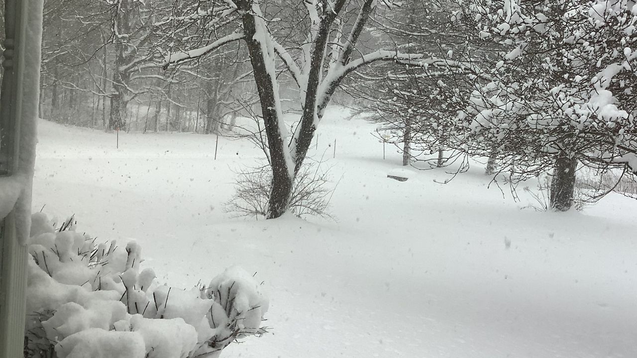
Our friends in VT are taking a wait and see approach...
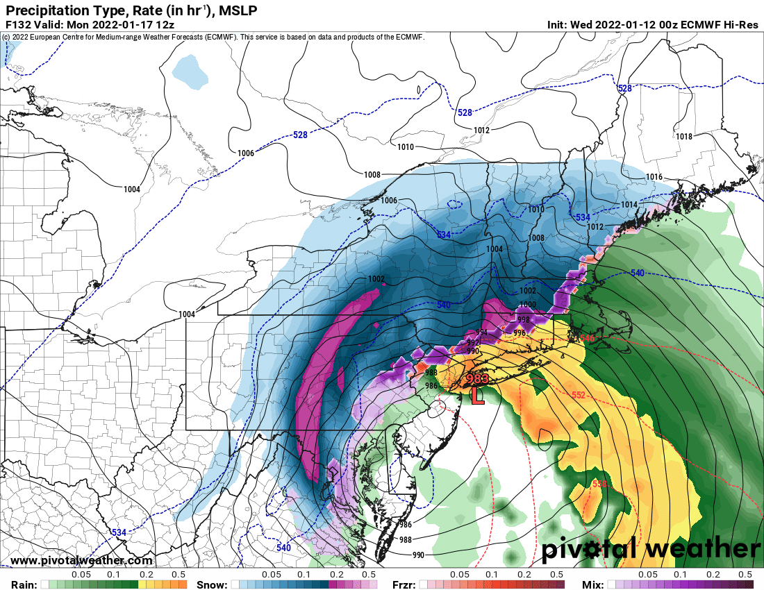
The next system of interest will shift into the region on Monday.
After having basically written it off for being too far east,
yesterday, almost every piece of guidance has shifted sharply
westward with the 00Z cycle in that vein as well. Additionally, the
pattern has trended towards a more amplified wave pattern, with less
zonal flow along the US East Coast, which allows this system to gain
latitude.
Ensemble means of
MSLP depict a system positioned near or
just west of the
benchmark following the archetypal Miller A path.
It has a coupled upper
jet structure and everything in model progs.
While this is all impressive, it`s important to note that the system
responsible is currently positioned well south of the Aleutians, and
will not approach British Columbia till Thursday morning. So there
is still an opportunity for some substantial location adjustments,
and for that reason, the forecast is currently on the lower side of
ensemble data to avoid see-sawing too much. With that note, raised
PoPs in the 50 to 60 range for Monday afternoon, which is just below
explicit
ensemble forecast probabilities of precipitation.
The
probabilities of a system that delivers greater than 4" of snow has
also increased towards towards 60 percent as well, and ensemble
means have trended in that direction as well. We need this snow from
a hydrological perspective. So, this is a welcomed trend, and we`ll
keep you up to speed on impacts as we draw closer and get a better
picture of how the system will unfold.
Lingering snow showers in northwest
flow, regardless of whether we
receive widespread snow, will take place Monday night into Tuesday
as an upper
trough translates overhead. Reinforcing cool air will
shift in behind the system, but not on the magnitude of what is
expected this Saturday.


