MarzNC
Well-known member
- Joined
- Jul 18, 2020
With the storm track staying farther west, looks like Vermont dodged a bullet this time. As of 10:30am the remnant storm center low is about to leave PA and enter central NY.
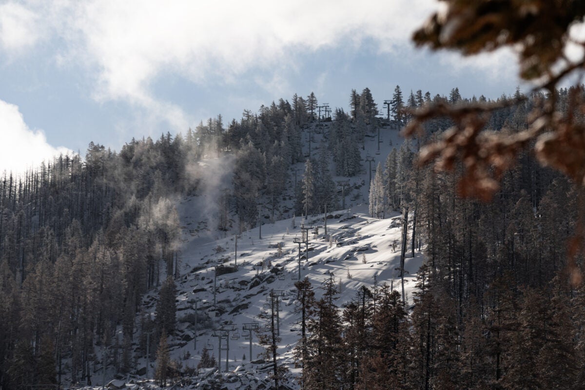
Blew through VA fairly fast this morning. Massanutten got plenty of rain. The summit rainfall total for the past 24 hours is 4.5 inches.
August 9, 2024, 7am
 www.mynbc5.com
"
www.mynbc5.com
"
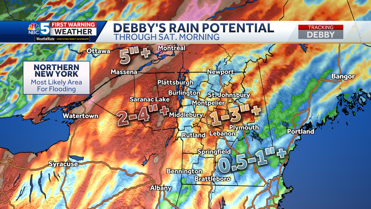
Northern New York can expect 2 to 4 inches of rain, with locally higher amounts up to 6 inches. This area faces the highest risk of flash flooding and river flooding.
Most of Vermont will likely see 1 to 3 inches of rain, with locally higher amounts possible. The flash flood and river flooding risk is lower in Vermont, especially in far southern and eastern areas. Still, isolated flash floods are possible — especially in vulnerable areas like the Northeast Kingdom.
The heaviest rain will fall from roughly 2 p.m. to 11 p.m. on Friday. Rain will quickly taper late Friday night, long before the sun even rises on Saturday.
. . ."
Blew through VA fairly fast this morning. Massanutten got plenty of rain. The summit rainfall total for the past 24 hours is 4.5 inches.
August 9, 2024, 7am
Road washouts, river flooding expected Friday from Debby; highest risk in Adirondacks
Scattered power outages expected Friday evening from wind gusts of 40 to 50 mph
www.mynbc5.com
Northern New York can expect 2 to 4 inches of rain, with locally higher amounts up to 6 inches. This area faces the highest risk of flash flooding and river flooding.
Most of Vermont will likely see 1 to 3 inches of rain, with locally higher amounts possible. The flash flood and river flooding risk is lower in Vermont, especially in far southern and eastern areas. Still, isolated flash floods are possible — especially in vulnerable areas like the Northeast Kingdom.
The heaviest rain will fall from roughly 2 p.m. to 11 p.m. on Friday. Rain will quickly taper late Friday night, long before the sun even rises on Saturday.
. . ."