Niehues is painting a Mad River Glen trail map in 2020

Hey Marz
Did you see that Niehues is retiring? End of en era
Yep, I'm on his mailing list. Was thinking of starting a thread. He is doing a fundraiser for the Colorado Snowsports Museum as part of the process of starting to sell original paintings.

Also following the release of the American Landscapes Project.
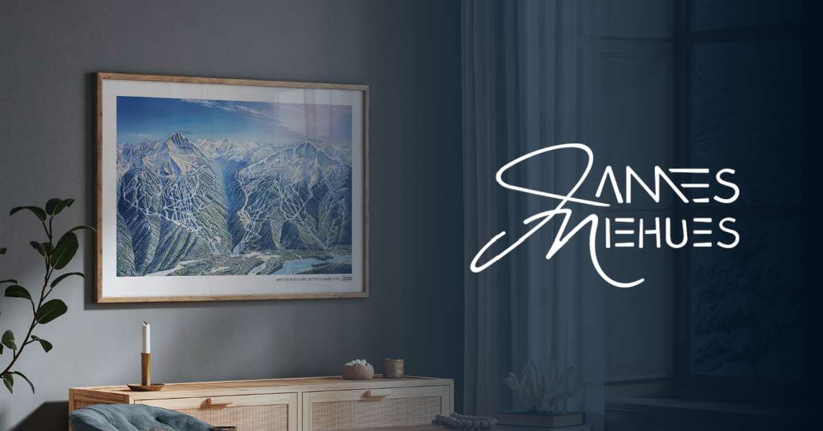

I rather like the trail maps that Kevin Mastin is doing. He got some advice from Niehues along the way. Just as Niehues learned from Bill Brown but developed his own style. VistaMaps aren't going to take over any time soon.
 
It’s not pretty but I always liked the MRG contour map. I wish more hills did that.
You know, his paintings are nice, I guess, but, cmon, it's the 21st century. I discovered the 3D maps for the Sella Ronda/Dolomiti Superski recently researching a trip. Now this is a ski map, if you can figure out how to work it.

 
You know, his paintings are nice, I guess, but, cmon, it's the 21st century. I discovered the 3D maps for the Sella Ronda/Dolomiti Superski recently researching a trip. Now this is a ski map, if you can figure out how to work it.


Maybe that's why he's retiring.

One advantage of the map may be easier to download with one bar? Or you could just download to your phone and have it.

Actually can't remember the last time I used a ski map for way finding.
 
Maybe that's why he's retiring.

One advantage of the map may be easier to download with one bar? Or you could just download to your phone and have it.

Actually can't remember the last time I used a ski map for way finding.
Maybe you need to leave your backyard more often.......
 
Maybe that's why he's retiring.

One advantage of the map may be easier to download with one bar? Or you could just download to your phone and have it.

Actually can't remember the last time I used a ski map for way finding.
I doubt it. He tried retiring once before but there were too many requests for updates and new ski trail commissions that he wanted to do.

The update he did for Alta and Big Sky allowed him to apply what he'd learned since the original versions. The new versions incorporated terrain that either wasn't part of the resort initially or that were considered more "side country" even though it was inbounds so few people care if the trail map wasn't remotely detailed.

A major resort that never asked Niehues to do a trail map is Aspen/Snowmass. I hate the Snowmass trail map.

He didn't just do big resorts. Cataloochee and Massanutten have Niehues trail maps.
 
You know, his paintings are nice, I guess, but, cmon, it's the 21st century. I discovered the 3D maps for the Sella Ronda/Dolomiti Superski recently researching a trip. Now this is a ski map, if you can figure out how to work it.

Tirol is high-tech for a bunch of used to be isolated mountain folks.
It’s beautiful too and there’s good food, vino, and great mountains.
 
Last edited:
Back
Top