
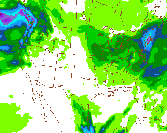
As mentioned in the forum, there are two possible scenarios with this storm, depending on which model you believe. The NAM is the coast-hugger and the wettest of all the models. The GFS and the EURO have the low further off the coast. I think the reality lies somewhere between the NAM and the GFS.
At this moment, the Cats look like the NY winner with 5-9 inches. Totals should be light to moderate for the ADKs: around 2-4 inches. More snow will fall on the southern Greens and the favored upslope terrain.
It’s all about when and where the development takes place. We’ll have a much better idea about storm track tomorrow afternoon. Stay tuned.
Quick round up:
Gore 7
Mt Snow 20
Hunter 5
Bell 7
Cannon 20+
Jimminy 20
Whiteface 12
Pico 11
Very nice event!!!!
Stratton is reporting 17 so this might be the one that gets Magic (closed today) completely open, including the trees.
Looks like the NAM was a winner too. Can’t wait to see some pics.
Finally starting looking like winter around here 🙂
We got 10 inches of fluff here and it keeps on comin. The backlash from this storm is picking up moisture from Lake Ontario and then whisks it over the Finger Lakes fortifying the system with moisture and dumping fairy dust on us. The snow is extremely light n fluffy. I went on a nordic tour today after work. 8-10 inches of fluff, but where there was no base (like under the hemlocks) I’d hit rock. It’s still snowing. If 3-5 more snow falls by morning I think I’ll head out to Greek Peak. AC said GP is skiing much better, though the icy base still makes the skiing louder and slipperier than it should be.